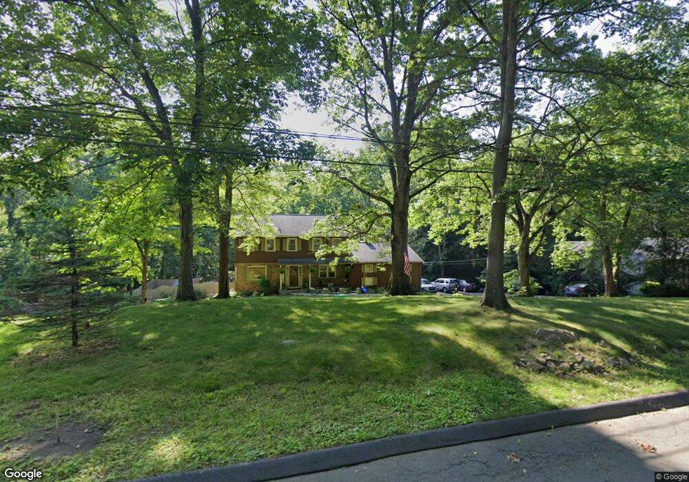
88 Field St Norwalk, CT 06851
Cranbury NeighborhoodEstimated Value: $804,000 - $1,147,000
4
Beds
3
Baths
2,627
Sq Ft
$376/Sq Ft
Est. Value
About This Home
This home is located at 88 Field St, Norwalk, CT 06851 and is currently estimated at $986,766, approximately $375 per square foot. 88 Field St is a home located in Fairfield County with nearby schools including Cranbury Elementary School, West Rocks Middle School, and Norwalk High School.
Ownership History
Date
Name
Owned For
Owner Type
Purchase Details
Closed on
Jul 27, 2016
Sold by
Watson Julia
Bought by
Kravarik Mark and Kravarik Dawn
Current Estimated Value
Home Financials for this Owner
Home Financials are based on the most recent Mortgage that was taken out on this home.
Original Mortgage
$201,000
Outstanding Balance
$126,958
Interest Rate
3.54%
Mortgage Type
New Conventional
Estimated Equity
$859,808
Purchase Details
Closed on
Jul 31, 1989
Sold by
Iaizzi Jean
Bought by
Watson Eugene
Home Financials for this Owner
Home Financials are based on the most recent Mortgage that was taken out on this home.
Original Mortgage
$210,000
Interest Rate
9.9%
Mortgage Type
Purchase Money Mortgage
Create a Home Valuation Report for This Property
The Home Valuation Report is an in-depth analysis detailing your home's value as well as a comparison with similar homes in the area
Home Values in the Area
Average Home Value in this Area
Purchase History
| Date | Buyer | Sale Price | Title Company |
|---|---|---|---|
| Kravarik Mark | -- | -- | |
| Kravarik Mark | -- | -- | |
| Watson Eugene | $380,000 | -- |
Source: Public Records
Mortgage History
| Date | Status | Borrower | Loan Amount |
|---|---|---|---|
| Open | Watson Eugene | $201,000 | |
| Previous Owner | Watson Eugene | $210,500 | |
| Previous Owner | Watson Eugene | $210,000 |
Source: Public Records
Tax History
| Year | Tax Paid | Tax Assessment Tax Assessment Total Assessment is a certain percentage of the fair market value that is determined by local assessors to be the total taxable value of land and additions on the property. | Land | Improvement |
|---|---|---|---|---|
| 2025 | $13,006 | $547,850 | $241,790 | $306,060 |
| 2024 | $12,806 | $547,850 | $241,790 | $306,060 |
| 2023 | $10,995 | $440,400 | $192,910 | $247,490 |
| 2022 | $10,822 | $440,400 | $192,910 | $247,490 |
| 2021 | $9,209 | $440,400 | $192,910 | $247,490 |
| 2020 | $10,396 | $440,400 | $192,910 | $247,490 |
| 2019 | $10,040 | $440,400 | $192,910 | $247,490 |
| 2018 | $10,795 | $416,300 | $207,920 | $208,380 |
| 2017 | $10,418 | $416,310 | $207,920 | $208,390 |
| 2016 | $10,591 | $416,300 | $207,920 | $208,380 |
Source: Public Records
Map
Nearby Homes
- 276 Grumman Ave
- 30 Freshwater Ln
- 381 Chestnut Hill Rd
- 41 Mohawk Dr
- 128 Grumman Hill Rd
- 2 Village Ct Unit 2
- 6 Downe Ln
- 8 Stonecrop Rd
- 76 Fawn Ridge Ln
- 4 Frank St
- 126 Heather Ln
- 11 Eastwood Rd
- 25 Arrowhead Rd
- 25 Hermit Ln
- 205 E Rocks Rd
- 20 Arrowhead Rd
- 7 Scott St
- 51 Chessor Ln
- 2 Woodley Ln
- 3 Woodley Ln
Your Personal Tour Guide
Ask me questions while you tour the home.