88 Franklin Cove Dr Marshall, NC 28753
Estimated Value: $120,000 - $300,409
--
Bed
--
Bath
1,331
Sq Ft
$178/Sq Ft
Est. Value
About This Home
This home is located at 88 Franklin Cove Dr, Marshall, NC 28753 and is currently estimated at $236,352, approximately $177 per square foot. 88 Franklin Cove Dr is a home located in Madison County with nearby schools including Madison Middle School.
Ownership History
Date
Name
Owned For
Owner Type
Purchase Details
Closed on
Jan 7, 2020
Sold by
Hobein Lauren
Bought by
Hobein Daniel G
Current Estimated Value
Purchase Details
Closed on
Jun 17, 2010
Sold by
Bank Of New York Mellon Trust Company Na
Bought by
Hobein Lauren and Hobein Daniel G
Purchase Details
Closed on
Jan 25, 2010
Sold by
Sams Bryan M and Sams Meredith
Bought by
The Bank Of New York Mellon Trust Co Na and The Bank Of New York Trust Company Na
Purchase Details
Closed on
Feb 28, 2006
Sold by
Ramsey Scott and Ramsey Kelli
Bought by
Sams Bryan M and Sams Meredith
Create a Home Valuation Report for This Property
The Home Valuation Report is an in-depth analysis detailing your home's value as well as a comparison with similar homes in the area
Home Values in the Area
Average Home Value in this Area
Purchase History
| Date | Buyer | Sale Price | Title Company |
|---|---|---|---|
| Hobein Daniel G | -- | None Available | |
| Hobein Lauren | $97,000 | -- | |
| The Bank Of New York Mellon Trust Co Na | $71,452 | -- | |
| Sams Bryan M | $130,000 | None Available |
Source: Public Records
Tax History Compared to Growth
Tax History
| Year | Tax Paid | Tax Assessment Tax Assessment Total Assessment is a certain percentage of the fair market value that is determined by local assessors to be the total taxable value of land and additions on the property. | Land | Improvement |
|---|---|---|---|---|
| 2024 | $1,332 | $261,720 | $23,400 | $238,320 |
| 2023 | $869 | $118,760 | $19,550 | $99,210 |
| 2022 | $869 | $118,760 | $19,550 | $99,210 |
| 2021 | $869 | $118,760 | $19,550 | $99,210 |
| 2020 | $774 | $118,760 | $19,550 | $99,210 |
| 2019 | $666 | $91,968 | $17,000 | $74,968 |
| 2018 | $552 | $0 | $0 | $0 |
| 2017 | $552 | $0 | $0 | $0 |
| 2016 | $552 | $0 | $0 | $0 |
| 2015 | -- | $0 | $0 | $0 |
| 2014 | -- | $91,968 | $17,000 | $74,968 |
| 2013 | -- | $91,968 | $17,000 | $74,968 |
Source: Public Records
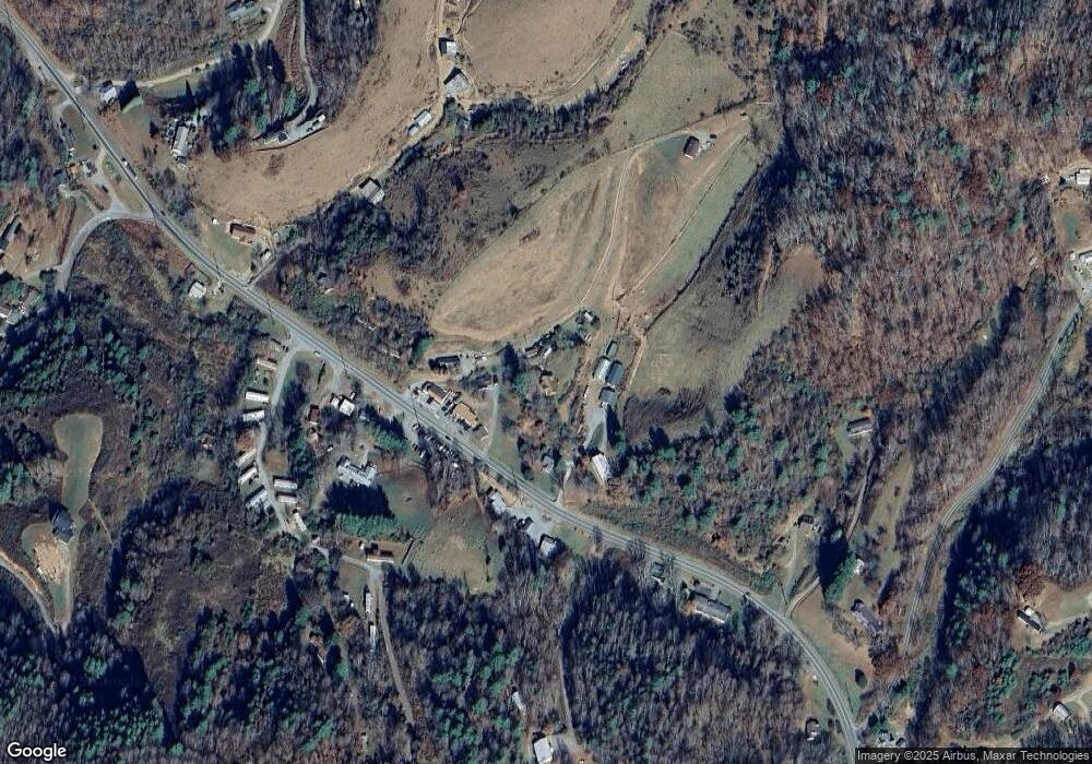
Map
Nearby Homes
- 200 Sunrise Ridge
- 8951 Us 25 70 Hwy
- 7881 Us 25 70 Hwy
- 1305 Riddle Farm Rd
- 590 Sweet Water Rd
- 759 and 755 Snelson Rd
- 200 Dry Branch Rd
- TBD Sweet Water Rd
- 564 Upper Thomas Branch Rd
- 80 Sunset Dr
- 99999 Walnut Creek Rd
- 2200 Walnut Creek Rd
- 3722 Walnut Creek Rd
- Lot 2 Lunsford Ln
- 0 Anderson Branch Rd
- 221 Starry Night Ln
- 153 Skyway Dr
- 77 Dr Ramsey Dr
- 2725 Upper Brush Creek Rd
- 691 Sandy Bottom Rd
- 88 Franklin Cove Dr
- 8578 Us 25/70 Hwy
- 8638 Us 25/70 Hwy
- 8625 Us 25/70 Hwy
- 49 Franklin Cove Dr
- 8633 Us 25/70 Hwy
- 8633 Hwy 25-70
- 8633 Hwy 25 70
- 8546 Us 25/70 Hwy
- 8635 Us 25/70 Hwy
- 8524 Us 25/70 Hwy
- 8524 Us 25/70 Hwy
- 8525 U S 25
- 8525 Us 25/70 Hwy
- 8746 Us 25/70 Hwy
- 8761 Us 25/70 Hwy
- 8761 Us 25/70 Hwy
- 8761 Us 25/70 Hwy
- 8761 Us 25/70 Hwy
- 8463 Us 25/70 Hwy