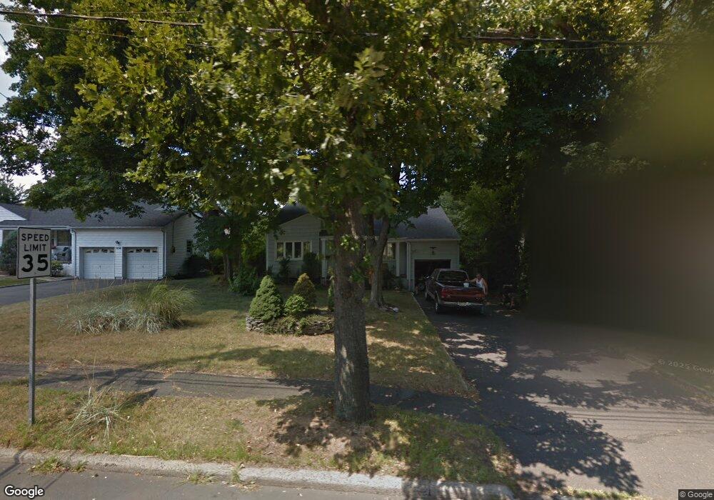
88 Kenilworth Blvd Cranford, NJ 07016
Estimated Value: $541,848 - $823,000
--
Bed
--
Bath
--
Sq Ft
7,100
Sq Ft Lot
About This Home
This home is located at 88 Kenilworth Blvd, Cranford, NJ 07016 and is currently estimated at $721,712. 88 Kenilworth Blvd is a home located in Union County with nearby schools including Cranford Sr High School and St Michael School.
Ownership History
Date
Name
Owned For
Owner Type
Purchase Details
Closed on
May 15, 1998
Sold by
Neumann Nick John and Neumann Gina Marie
Bought by
Majors Gary
Current Estimated Value
Home Financials for this Owner
Home Financials are based on the most recent Mortgage that was taken out on this home.
Original Mortgage
$120,000
Outstanding Balance
$23,304
Interest Rate
7.03%
Estimated Equity
$698,408
Create a Home Valuation Report for This Property
The Home Valuation Report is an in-depth analysis detailing your home's value as well as a comparison with similar homes in the area
Home Values in the Area
Average Home Value in this Area
Purchase History
| Date | Buyer | Sale Price | Title Company |
|---|---|---|---|
| Majors Gary | $198,000 | Chicago Title Insurance Co |
Source: Public Records
Mortgage History
| Date | Status | Borrower | Loan Amount |
|---|---|---|---|
| Open | Majors Gary | $120,000 |
Source: Public Records
Tax History Compared to Growth
Tax History
| Year | Tax Paid | Tax Assessment Tax Assessment Total Assessment is a certain percentage of the fair market value that is determined by local assessors to be the total taxable value of land and additions on the property. | Land | Improvement |
|---|---|---|---|---|
| 2025 | $11,036 | $162,800 | $60,200 | $102,600 |
| 2024 | $10,854 | $162,800 | $60,200 | $102,600 |
| 2023 | $10,854 | $162,800 | $60,200 | $102,600 |
| 2022 | $10,764 | $162,800 | $60,200 | $102,600 |
| 2021 | $10,717 | $162,800 | $60,200 | $102,600 |
| 2020 | $10,683 | $162,800 | $60,200 | $102,600 |
| 2019 | $10,615 | $162,800 | $60,200 | $102,600 |
| 2018 | $10,422 | $162,800 | $60,200 | $102,600 |
| 2017 | $10,064 | $162,800 | $60,200 | $102,600 |
| 2016 | $9,698 | $162,800 | $60,200 | $102,600 |
| 2015 | $9,444 | $162,800 | $60,200 | $102,600 |
| 2014 | $9,250 | $162,800 | $60,200 | $102,600 |
Source: Public Records
Map
Nearby Homes
- 58 Sandra Cir Unit B-3
- 41 C Sandra Cir Unit C3
- 5 Penn Rd
- 1806 Park Place
- 89 Glenwood Rd
- 3 Doering Way
- 3702 Park Place
- 403 Park Place
- 203 Beech St
- 3211 Park Place
- 33 Park Dr
- 35 Sherwood Rd
- 128 Woodland Ave
- 684 Gallows Hill Rd
- 3 Herning Ave
- 256 Washington Ave
- 30 N 8th St
- 252 Boulevard
- 4 Normandie Place
- 223 5th Ave
- 90 Kenilworth Blvd
- 1586 Springfield Ave
- 48 Nomahegan Ct
- 50 Nomahegan Ct
- 50 Nomahegan Dr
- 46 Nomahegan Ct
- 92 Kenilworth Blvd
- 1588 Springfield Ave
- 52 Nomahegan Ct
- 44 Nomahegan Ct
- 1590 Springfield Ave
- 94 Kenilworth Blvd
- 54 Nomahegan Ct
- 1587 Springfield Ave
- 1585 Springfield Ave
- 42 Nomahegan Ct
- 51 Nomahegan Ct
- 49 Nomahegan Ct
- 1591 Springfield Ave
- 53 Nomahegan Ct