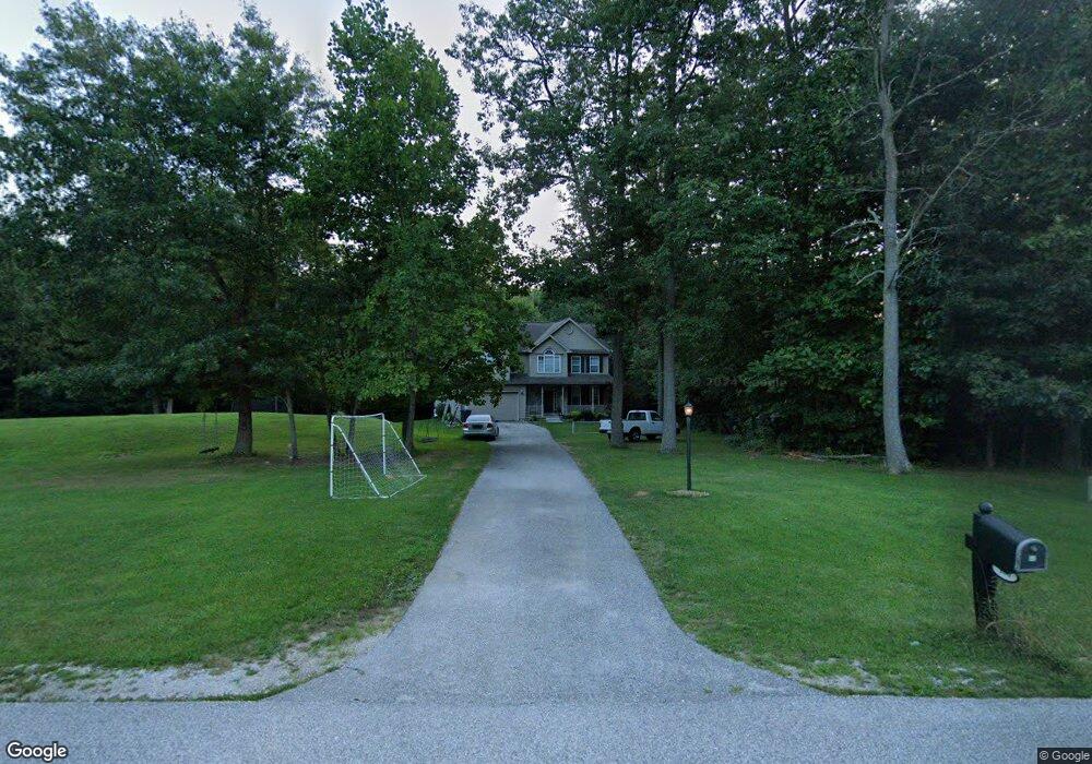
88 Lucas Dr Unit 27 Littlestown, PA 17340
Estimated Value: $534,000 - $757,000
4
Beds
3
Baths
2,886
Sq Ft
$216/Sq Ft
Est. Value
About This Home
This home is located at 88 Lucas Dr Unit 27, Littlestown, PA 17340 and is currently estimated at $622,439, approximately $215 per square foot. 88 Lucas Dr Unit 27 is a home located in Adams County with nearby schools including Rolling Acres El School, Maple Avenue Middle School, and Littlestown Senior High School.
Ownership History
Date
Name
Owned For
Owner Type
Purchase Details
Closed on
Jun 12, 2007
Sold by
Royal Bldg Inc
Bought by
Carter William F and Sweeney Pamela E
Current Estimated Value
Home Financials for this Owner
Home Financials are based on the most recent Mortgage that was taken out on this home.
Original Mortgage
$385,000
Outstanding Balance
$238,120
Interest Rate
6.39%
Mortgage Type
New Conventional
Estimated Equity
$384,319
Create a Home Valuation Report for This Property
The Home Valuation Report is an in-depth analysis detailing your home's value as well as a comparison with similar homes in the area
Home Values in the Area
Average Home Value in this Area
Purchase History
| Date | Buyer | Sale Price | Title Company |
|---|---|---|---|
| Carter William F | $494,309 | -- |
Source: Public Records
Mortgage History
| Date | Status | Borrower | Loan Amount |
|---|---|---|---|
| Open | Carter William F | $385,000 |
Source: Public Records
Tax History Compared to Growth
Tax History
| Year | Tax Paid | Tax Assessment Tax Assessment Total Assessment is a certain percentage of the fair market value that is determined by local assessors to be the total taxable value of land and additions on the property. | Land | Improvement |
|---|---|---|---|---|
| 2025 | $6,314 | $333,600 | $155,000 | $178,600 |
| 2024 | $6,070 | $333,600 | $155,000 | $178,600 |
| 2023 | $5,916 | $333,600 | $155,000 | $178,600 |
| 2022 | $5,873 | $333,600 | $155,000 | $178,600 |
| 2021 | $5,442 | $320,500 | $155,000 | $165,500 |
| 2020 | $5,363 | $320,500 | $155,000 | $165,500 |
| 2019 | $5,248 | $320,500 | $155,000 | $165,500 |
| 2018 | $5,092 | $320,500 | $155,000 | $165,500 |
| 2017 | $4,933 | $320,500 | $155,000 | $165,500 |
| 2016 | -- | $320,500 | $155,000 | $165,500 |
| 2015 | -- | $320,500 | $155,000 | $165,500 |
| 2014 | -- | $320,500 | $155,000 | $165,500 |
Source: Public Records
Map
Nearby Homes
- LOT 9 Mehring Rd
- 2100 Blacks School House Rd
- 241 M St
- 567 Lumber St
- 559 Lumber St
- 535 Lumber St
- 893 Georgetown Rd
- 22 Cemetery St
- 61 E King St
- 106 E King St
- 115 Charles St
- 117 Charles St
- 15 Yorktowne Ct Unit 97
- 43 Ashfield Dr Unit 14
- 41 Smith Cir
- 2199 Blacks School House Rd
- 22 Rita Marie Ave
- 1 Hickory Ln
- 140 Apple Grove Ln Unit 425
- 162 Newark St
- 82 Lucas Dr Unit 26
- 124 Bollinger Rd
- 100 Lucas Dr Unit 28
- 64 Lucas Dr Unit 25
- 146 Lucas Dr Unit 30
- 124 Lucas Dr Unit 29
- 154 Bollinger Rd Unit 1
- 46 Lucas Dr
- 44 Lucas Dr
- 63 E Summit Dr Unit 9
- 109 Lucas Dr Unit 41
- 69 E Summit Dr Unit 10
- 110 Bollinger Rd
- 77 E Summit Dr Unit 11
- 97 Lucas Dr Unit 42
- 38 Lucas Dr Unit 24
- 57 E Summit Dr Unit 8
- 160 Lucas Dr Unit 31
- 81 E Summit Dr Unit 12
- 127 Lucas Dr Unit 40