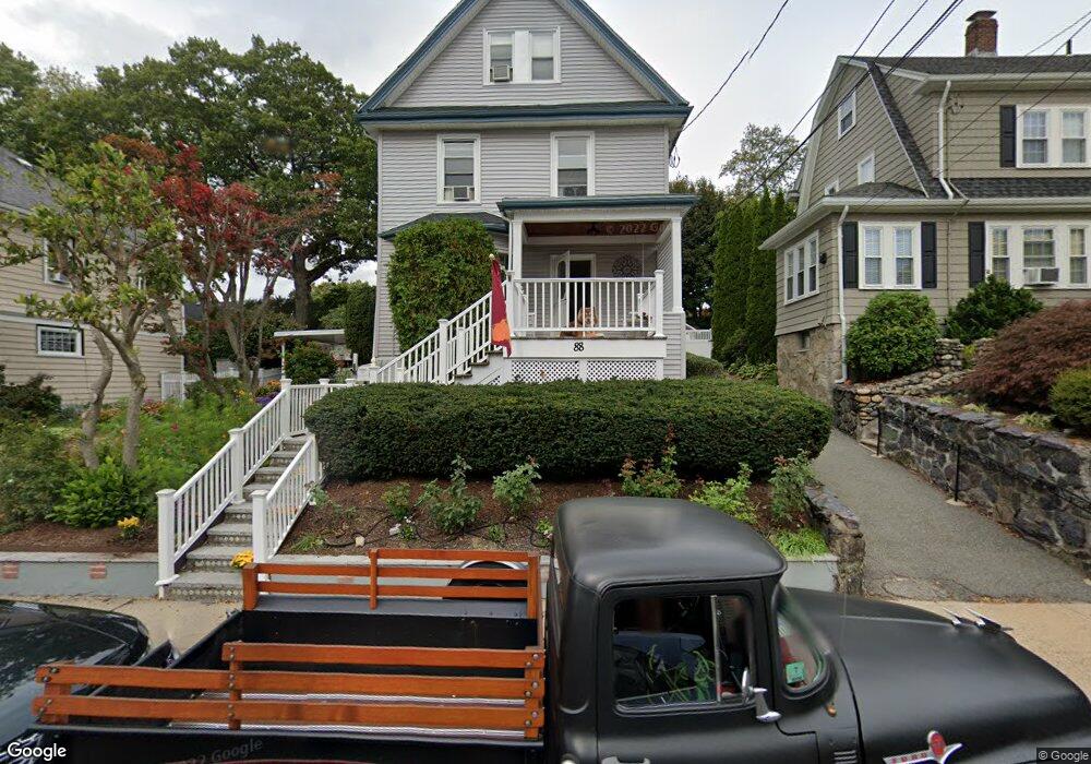
88 Montclair Ave West Roxbury, MA 02132
West Roxbury NeighborhoodEstimated Value: $1,078,283 - $1,247,000
5
Beds
3
Baths
2,270
Sq Ft
$505/Sq Ft
Est. Value
About This Home
This home is located at 88 Montclair Ave, West Roxbury, MA 02132 and is currently estimated at $1,145,821, approximately $504 per square foot. 88 Montclair Ave is a home located in Suffolk County with nearby schools including Brooke Charter School Roslindale, Holy Name Parish School, and St. Clare High School.
Ownership History
Date
Name
Owned For
Owner Type
Purchase Details
Closed on
Oct 23, 2025
Sold by
Ghorbi Farzad and Ghorbi Julia
Bought by
88 Montclair Avenue Rt and Ghorbi
Current Estimated Value
Purchase Details
Closed on
Apr 27, 1992
Sold by
Krock David E
Bought by
Ghorbi Farzad and Daly Edward G
Purchase Details
Closed on
Oct 17, 1989
Sold by
Barboutis Dimitrius
Bought by
Krock David E
Create a Home Valuation Report for This Property
The Home Valuation Report is an in-depth analysis detailing your home's value as well as a comparison with similar homes in the area
Home Values in the Area
Average Home Value in this Area
Purchase History
| Date | Buyer | Sale Price | Title Company |
|---|---|---|---|
| 88 Montclair Avenue Rt | -- | -- | |
| Ghorbi Farzad | $200,000 | -- | |
| Ghorbi Farzad | $200,000 | -- | |
| Krock David E | $125,000 | -- |
Source: Public Records
Mortgage History
| Date | Status | Borrower | Loan Amount |
|---|---|---|---|
| Previous Owner | Krock David E | $150,000 | |
| Previous Owner | Krock David E | $245,000 | |
| Previous Owner | Krock David E | $200,000 |
Source: Public Records
Tax History Compared to Growth
Tax History
| Year | Tax Paid | Tax Assessment Tax Assessment Total Assessment is a certain percentage of the fair market value that is determined by local assessors to be the total taxable value of land and additions on the property. | Land | Improvement |
|---|---|---|---|---|
| 2025 | $10,313 | $890,600 | $259,800 | $630,800 |
| 2024 | $9,473 | $869,100 | $276,300 | $592,800 |
| 2023 | $8,887 | $827,500 | $263,100 | $564,400 |
| 2022 | $8,257 | $758,900 | $241,300 | $517,600 |
| 2021 | $7,598 | $712,100 | $232,000 | $480,100 |
| 2020 | $7,214 | $683,100 | $197,400 | $485,700 |
| 2019 | $6,757 | $641,100 | $180,300 | $460,800 |
| 2018 | $6,399 | $610,600 | $180,300 | $430,300 |
| 2017 | $6,401 | $604,400 | $180,300 | $424,100 |
| 2016 | $6,213 | $564,800 | $180,300 | $384,500 |
| 2015 | $6,326 | $522,400 | $182,100 | $340,300 |
| 2014 | $6,080 | $483,300 | $182,100 | $301,200 |
Source: Public Records
Map
Nearby Homes
- 26 Bradfield Ave Unit 3
- 87 Knoll St
- 24 Hazelmere Rd
- 10 Burwell Rd
- 257 Belgrade Ave
- 242 Belgrade Ave
- 79 Robert St Unit 3
- 311 Belgrade Ave
- 15 Newburg St Unit 1
- 10 Hackensack Terrace
- 214 Allandale Rd Unit B
- 103 Belgrade Ave Unit 2
- 59 Aldrich St Unit 2
- 17 Metcalf St
- 2 Weld Hill St Unit PH2
- 206 Allandale Rd Unit 3C
- 15 S Fairview St Unit 3
- 95 Newburg St
- 228 Allandale Rd Unit 1B
- 232 Allandale Rd Unit 2D
- 84 Montclair Ave
- 92 Montclair Ave
- 80 Montclair Ave
- 96 Montclair Ave
- 28 Cerdan Ave
- 26 Cerdan Ave
- 30 Cerdan Ave
- 76 Montclair Ave
- 100 Montclair Ave
- 87 Montclair Ave
- 87 Montclair Ave Unit 2
- 87 Montclair Ave Unit 1
- 24 Cerdan Ave
- 91 Montclair Ave
- 32 Cerdan Ave
- 81 Montclair Ave
- 95 Montclair Ave
- 18 Cerdan Ave Unit 20
- 72 Montclair Ave
- 125 Fletcher St