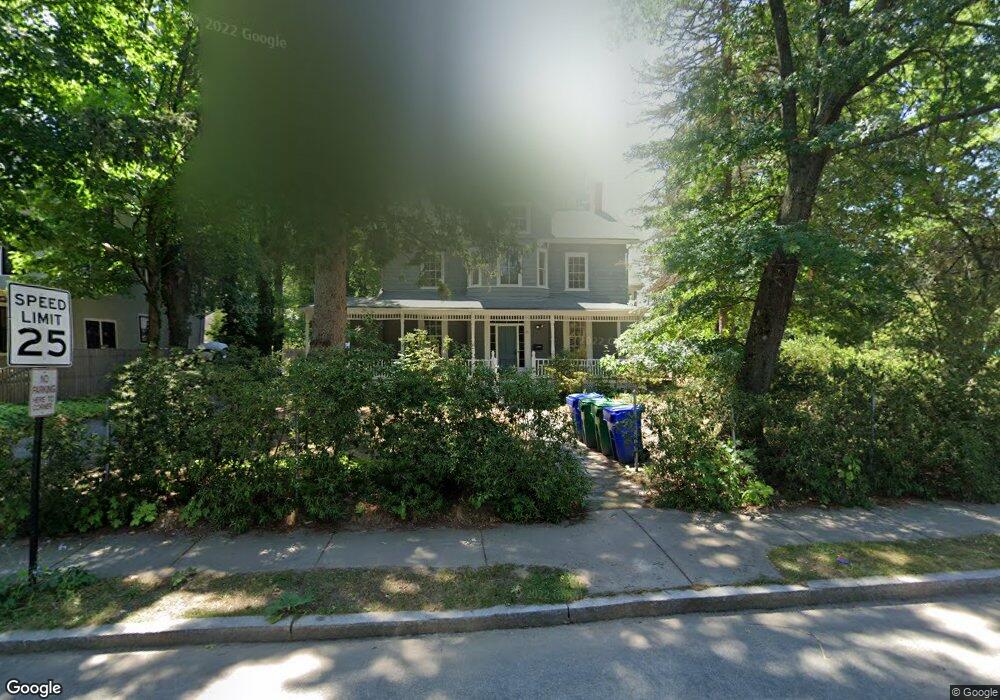
88 Otis St Unit 2 Newtonville, MA 02460
Newtonville NeighborhoodEstimated Value: $2,008,000 - $2,164,000
1
Bed
1
Bath
750
Sq Ft
$2,754/Sq Ft
Est. Value
About This Home
This home is located at 88 Otis St Unit 2, Newtonville, MA 02460 and is currently estimated at $2,065,709, approximately $2,754 per square foot. 88 Otis St Unit 2 is a home located in Middlesex County with nearby schools including Cabot Elementary School, F.A. Day Middle School, and Newton North High School.
Ownership History
Date
Name
Owned For
Owner Type
Purchase Details
Closed on
Mar 25, 1992
Sold by
Camuti William J
Bought by
Fidalgo Carlos G and Fidalgo Jane M
Current Estimated Value
Create a Home Valuation Report for This Property
The Home Valuation Report is an in-depth analysis detailing your home's value as well as a comparison with similar homes in the area
Home Values in the Area
Average Home Value in this Area
Purchase History
| Date | Buyer | Sale Price | Title Company |
|---|---|---|---|
| Fidalgo Carlos G | $295,000 | -- |
Source: Public Records
Mortgage History
| Date | Status | Borrower | Loan Amount |
|---|---|---|---|
| Previous Owner | Fidalgo Carlos G | $175,000 | |
| Previous Owner | Fidalgo Carlos G | $150,000 |
Source: Public Records
Tax History Compared to Growth
Tax History
| Year | Tax Paid | Tax Assessment Tax Assessment Total Assessment is a certain percentage of the fair market value that is determined by local assessors to be the total taxable value of land and additions on the property. | Land | Improvement |
|---|---|---|---|---|
| 2025 | $17,172 | $1,752,200 | $997,800 | $754,400 |
| 2024 | $14,710 | $1,507,200 | $867,200 | $640,000 |
| 2023 | $14,036 | $1,378,800 | $718,200 | $660,600 |
| 2022 | $13,431 | $1,276,700 | $665,000 | $611,700 |
| 2021 | $12,603 | $1,171,300 | $610,100 | $561,200 |
| 2020 | $12,228 | $1,171,300 | $610,100 | $561,200 |
| 2019 | $11,440 | $1,094,700 | $570,200 | $524,500 |
| 2018 | $3,447 | $1,071,400 | $530,800 | $540,600 |
| 2017 | $8,191 | $982,900 | $487,000 | $495,900 |
| 2016 | $10,261 | $901,700 | $446,800 | $454,900 |
| 2015 | $9,784 | $842,700 | $417,600 | $425,100 |
Source: Public Records
Map
Nearby Homes
- 22 Walnut Place Unit 1
- 123-125 Mount Vernon St
- 123 Mount Vernon St Unit 2
- 935 Washington St Unit 8
- 957 Washington St Unit 1
- 911 Washington St
- 300 Cabot St
- 43 Walker St
- 4 Wiswall St
- 12 Wiswall St
- 10 Washington Park
- 10 Washington Park Unit 2
- 10 Washington Park Unit 1
- 110 Harvard St Unit A
- 168 Walnut St
- 27 Cross St Unit 27
- 32-34 Rossmere St
- 11 Randlett Park
- 48 Harvard St Unit 1
- 77 Court St Unit 205
- 88 Otis St
- 82 Otis St
- 304 Lowell Ave
- 76 Otis St
- 310 Lowell Ave
- 15 Blithedale St
- 91 Otis St
- 85 Otis St
- 314 Lowell Ave
- 21 Blithedale St
- 95 Otis St
- 77 Otis St
- 311 Lowell Ave
- 283 Lowell Ave
- 283 Lowell Ave Unit 2
- 283 Lowell Ave Unit 1
- 281 Lowell Ave Unit 283
- 281 Lowell Ave Unit 1
- 281 Lowell Ave
- 281 Lowell Ave Unit 2