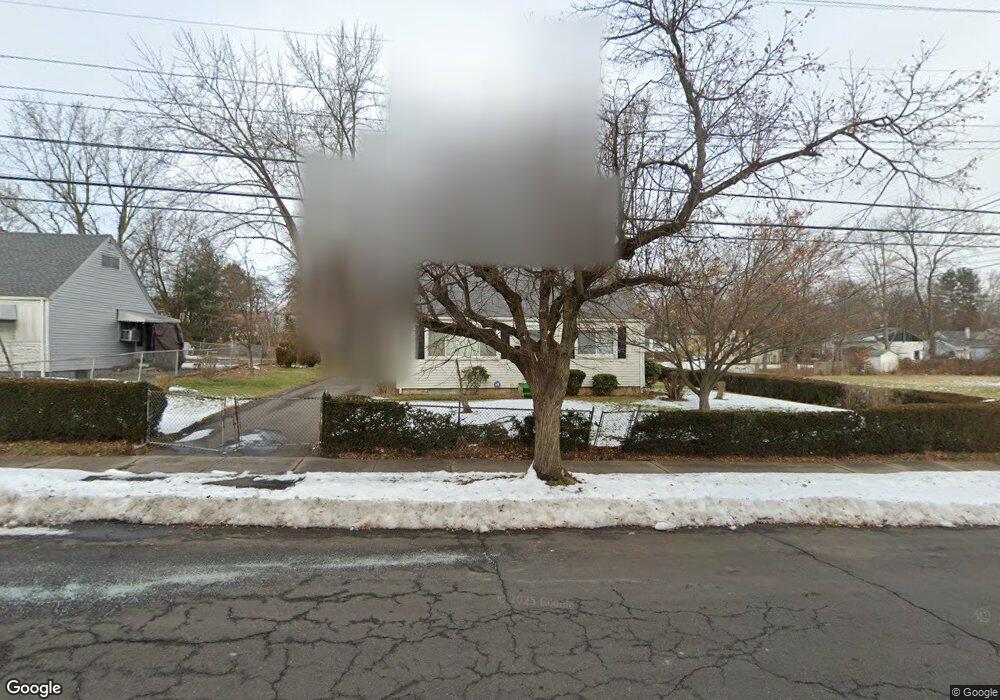
88 Pershing St Hartford, CT 06112
Blue Hills NeighborhoodEstimated Value: $219,000 - $293,000
4
Beds
1
Bath
1,075
Sq Ft
$235/Sq Ft
Est. Value
About This Home
This home is located at 88 Pershing St, Hartford, CT 06112 and is currently estimated at $252,940, approximately $235 per square foot. 88 Pershing St is a home located in Hartford County with nearby schools including Rawson School, Breakthrough Magnet School - North Campus, and West Middle School.
Ownership History
Date
Name
Owned For
Owner Type
Purchase Details
Closed on
Jan 17, 2013
Sold by
Betts Dinetta
Bought by
Betts Larry V
Current Estimated Value
Home Financials for this Owner
Home Financials are based on the most recent Mortgage that was taken out on this home.
Original Mortgage
$111,000
Outstanding Balance
$107,103
Interest Rate
3.39%
Mortgage Type
Reverse Mortgage Home Equity Conversion Mortgage
Estimated Equity
$145,837
Create a Home Valuation Report for This Property
The Home Valuation Report is an in-depth analysis detailing your home's value as well as a comparison with similar homes in the area
Home Values in the Area
Average Home Value in this Area
Purchase History
| Date | Buyer | Sale Price | Title Company |
|---|---|---|---|
| Betts Larry V | $15,000 | -- |
Source: Public Records
Mortgage History
| Date | Status | Borrower | Loan Amount |
|---|---|---|---|
| Open | Betts Larry V | $111,000 | |
| Closed | Betts Larry V | $111,000 |
Source: Public Records
Tax History
| Year | Tax Paid | Tax Assessment Tax Assessment Total Assessment is a certain percentage of the fair market value that is determined by local assessors to be the total taxable value of land and additions on the property. | Land | Improvement |
|---|---|---|---|---|
| 2025 | $4,085 | $59,241 | $4,925 | $54,316 |
| 2024 | $4,085 | $59,241 | $4,925 | $54,316 |
| 2023 | $4,085 | $59,241 | $4,925 | $54,316 |
| 2022 | $4,085 | $59,242 | $4,925 | $54,317 |
| 2021 | $2,702 | $36,365 | $5,845 | $30,520 |
| 2020 | $2,702 | $36,365 | $5,845 | $30,520 |
| 2019 | $2,702 | $36,365 | $5,845 | $30,520 |
| 2018 | $2,610 | $35,139 | $5,648 | $29,491 |
| 2016 | $2,804 | $37,750 | $5,379 | $32,371 |
| 2015 | $2,671 | $35,957 | $5,124 | $30,833 |
| 2014 | $2,606 | $35,078 | $4,998 | $30,080 |
Source: Public Records
Map
Nearby Homes
- 97 Boothbay St
- 26 Baltic St Unit 28
- 35 Baltic St
- 97 E Burnham St
- 11 Pershing St Unit 13
- 13 Patton Rd
- 70 Burnham St Unit 72
- 747 Blue Hills Ave
- 18 Darby St
- 200 Hartland St
- 86 Hartland St
- 90 Manchester St
- 110 Darby St
- 83 Colebrook St Unit 85
- 180 Brookline Ave
- 51 Pembroke St
- 216 Cornwall St
- 171 N Canaan St
- 166 Pembroke St
- 57 Love Ln
- 82 Pershing St
- 78 Pershing St Unit 80
- 215 Coventry St
- 85 Pershing St
- 81 Pershing St
- 221 Coventry St
- 92 Pershing St
- 199 Coventry St
- 72 Pershing St Unit 74
- 75 Pershing St Unit 77
- 68 Pershing St Unit 70
- 94 Pershing St
- 91 Boothbay St
- 87 Boothbay St
- 71 Pershing St Unit 73
- 81 Boothbay St
- 67 Pershing St
- 187 Coventry St
- 75 Boothbay St Unit 77
- 62 Pershing St Unit 64
Your Personal Tour Guide
Ask me questions while you tour the home.