88 R l Franks Rd Denison, TX 75021
Estimated Value: $348,253 - $349,000
3
Beds
2
Baths
1,548
Sq Ft
$225/Sq Ft
Est. Value
About This Home
This home is located at 88 R l Franks Rd, Denison, TX 75021 and is currently estimated at $348,627, approximately $225 per square foot. 88 R l Franks Rd is a home located in Grayson County with nearby schools including Terrell Elementary School, Scott Middle School, and Denison High School.
Ownership History
Date
Name
Owned For
Owner Type
Purchase Details
Closed on
Feb 6, 2020
Sold by
Carlson Mara Beth and Fuller Mara Beth
Bought by
Boyd Kristin D and Boyd Shannon T
Current Estimated Value
Home Financials for this Owner
Home Financials are based on the most recent Mortgage that was taken out on this home.
Original Mortgage
$172,000
Outstanding Balance
$152,697
Interest Rate
3.74%
Mortgage Type
New Conventional
Estimated Equity
$195,930
Purchase Details
Closed on
Oct 26, 2015
Sold by
Fuller Richard G and Fuller Donna J
Bought by
Carlson Andrew Jay and Carlson Mara Beth
Create a Home Valuation Report for This Property
The Home Valuation Report is an in-depth analysis detailing your home's value as well as a comparison with similar homes in the area
Home Values in the Area
Average Home Value in this Area
Purchase History
| Date | Buyer | Sale Price | Title Company |
|---|---|---|---|
| Boyd Kristin D | -- | Chicago Title | |
| Carlson Andrew Jay | -- | None Available |
Source: Public Records
Mortgage History
| Date | Status | Borrower | Loan Amount |
|---|---|---|---|
| Open | Boyd Kristin D | $172,000 |
Source: Public Records
Tax History Compared to Growth
Tax History
| Year | Tax Paid | Tax Assessment Tax Assessment Total Assessment is a certain percentage of the fair market value that is determined by local assessors to be the total taxable value of land and additions on the property. | Land | Improvement |
|---|---|---|---|---|
| 2025 | $3,302 | $318,219 | -- | -- |
| 2024 | $4,661 | $289,290 | $0 | $0 |
| 2023 | $2,875 | $262,991 | $0 | $0 |
| 2022 | $4,122 | $239,083 | $0 | $0 |
| 2021 | $4,065 | $217,348 | $58,000 | $159,348 |
| 2020 | $4,269 | $215,000 | $34,750 | $180,250 |
| 2019 | $3,829 | $193,995 | $33,250 | $160,745 |
| 2018 | $3,518 | $164,337 | $27,000 | $137,337 |
| 2017 | $3,432 | $159,332 | $29,000 | $130,332 |
| 2016 | $506 | $23,500 | $23,500 | $0 |
Source: Public Records
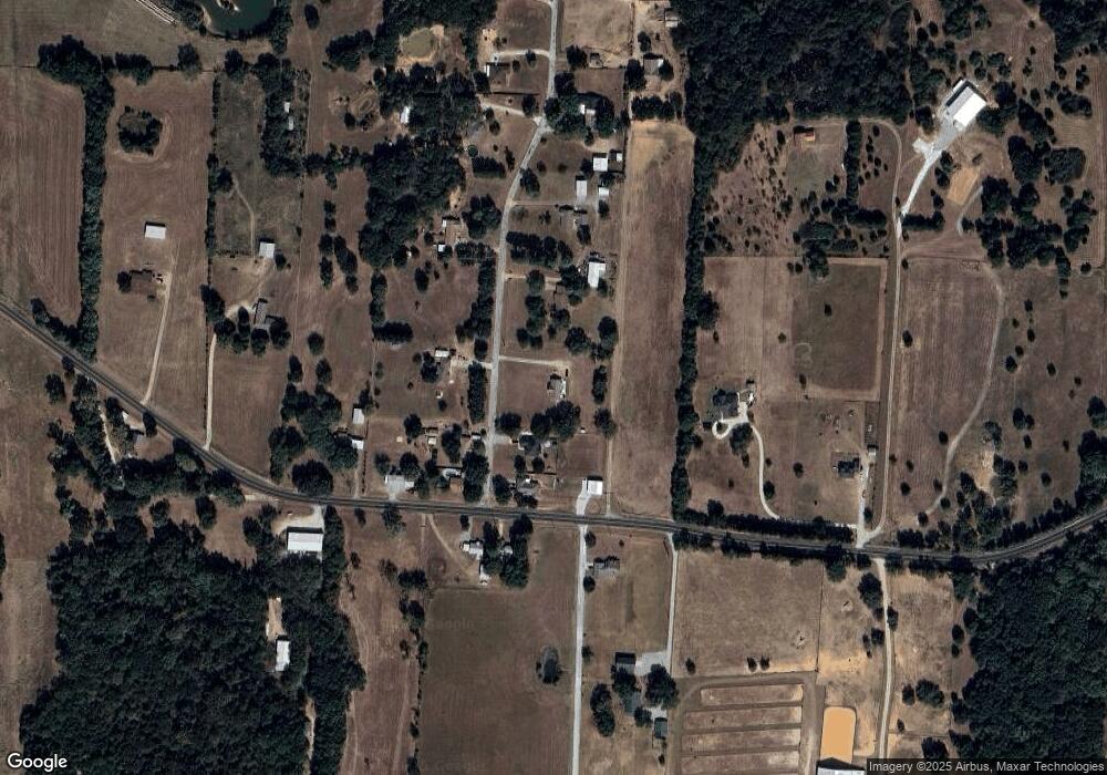
Map
Nearby Homes
- 4489 E Farm To Market 120
- 4489 E Fm 120
- 3091 E Fm 120
- 2550 Farm To Market Road 120
- TBD E Fm 120
- 426 Gun Club Rd
- 1700 Elmore Rd
- 5.92 Rd
- TBD Singletree Rd
- 194 Middle Rd
- 2757 Fm 1753
- TBD NE Fm 1753 & Singletree
- 489 Delphia Dr
- 1988 Elmore Rd
- 4822 Fm 1753
- 725 Carpenters Bluff Rd
- 320 Elmore Rd
- 4336 Carpenters Bluff Rd
- 0 Richerson Rd
- 115 N Main St
- 130 R l Franks Rd
- 151 R l Franks Rd
- 81 R l Franks Rd
- 39 R l Franks Rd
- 4019 E Fm 120
- 15 R l Franks Rd
- 145 R l Franks Rd
- 166 R l Franks Rd
- 225 R l Franks Rd
- 3972 E Fm 120
- 3929 E Fm 120
- 4018 E Fm 120
- 3968 E Fm 120
- 22 Saddle Tree Ln
- 3891 E Fm 120
- 3833 E Fm 120
- 212 R l Franks Rd
- 3882 E Fm 120
- 4217 E Fm 120
- 255 R l Franks Rd