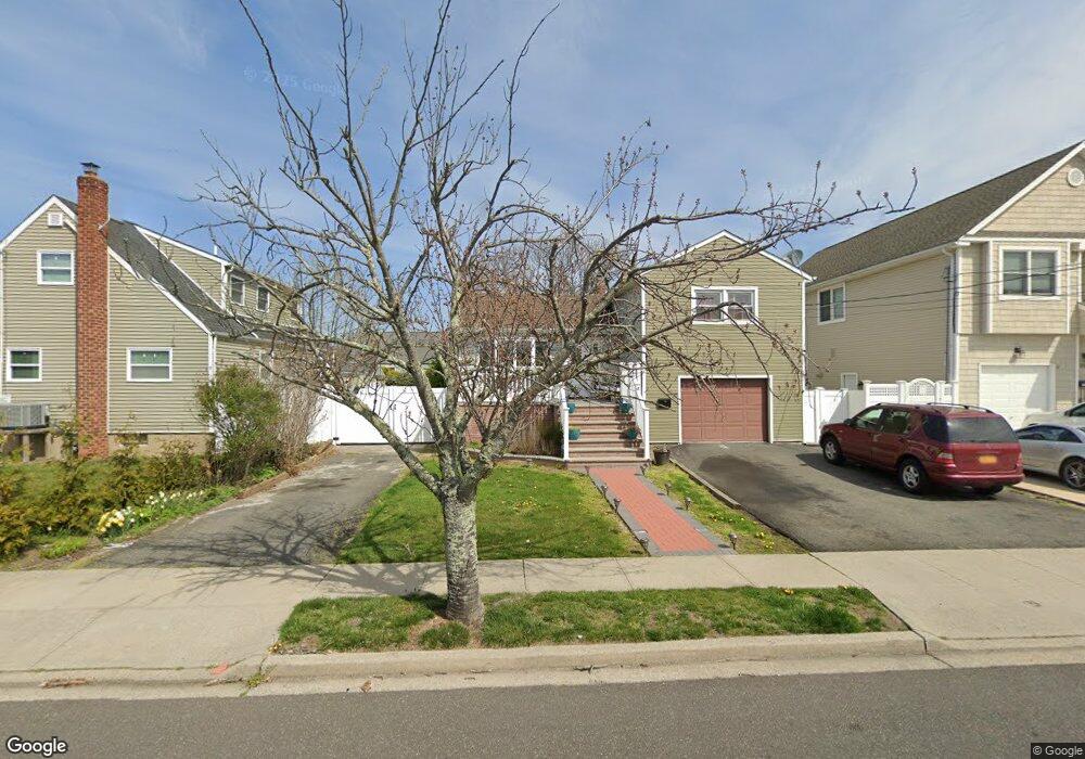
88 Ray St Freeport, NY 11520
Estimated Value: $634,522 - $637,000
4
Beds
2
Baths
1,135
Sq Ft
$560/Sq Ft
Est. Value
About This Home
This home is located at 88 Ray St, Freeport, NY 11520 and is currently estimated at $635,761, approximately $560 per square foot. 88 Ray St is a home located in Nassau County with nearby schools including Columbus Avenue School, Caroline G. Atkinson Intermediate School, and John W Dodd Middle School.
Ownership History
Date
Name
Owned For
Owner Type
Purchase Details
Closed on
Jun 4, 2014
Sold by
Macdonald Daniel K
Bought by
Cyriaque Margalie
Current Estimated Value
Home Financials for this Owner
Home Financials are based on the most recent Mortgage that was taken out on this home.
Original Mortgage
$251,322
Outstanding Balance
$191,089
Interest Rate
4.19%
Mortgage Type
FHA
Estimated Equity
$444,672
Create a Home Valuation Report for This Property
The Home Valuation Report is an in-depth analysis detailing your home's value as well as a comparison with similar homes in the area
Home Values in the Area
Average Home Value in this Area
Purchase History
| Date | Buyer | Sale Price | Title Company |
|---|---|---|---|
| Cyriaque Margalie | $260,000 | Old Republic Title |
Source: Public Records
Mortgage History
| Date | Status | Borrower | Loan Amount |
|---|---|---|---|
| Open | Cyriaque Margalie | $251,322 |
Source: Public Records
Tax History
| Year | Tax Paid | Tax Assessment Tax Assessment Total Assessment is a certain percentage of the fair market value that is determined by local assessors to be the total taxable value of land and additions on the property. | Land | Improvement |
|---|---|---|---|---|
| 2025 | $8,150 | $418 | $153 | $265 |
| 2024 | $814 | $418 | $153 | $265 |
| 2023 | $7,784 | $372 | $153 | $219 |
| 2022 | $7,784 | $372 | $153 | $219 |
| 2021 | $11,290 | $357 | $147 | $210 |
| 2020 | $7,579 | $468 | $387 | $81 |
| 2019 | $6,887 | $468 | $387 | $81 |
| 2018 | $6,777 | $468 | $0 | $0 |
| 2017 | $5,632 | $468 | $379 | $89 |
| 2016 | $6,335 | $468 | $345 | $123 |
| 2015 | $503 | $478 | $314 | $164 |
| 2014 | $503 | $478 | $314 | $164 |
| 2013 | $519 | $525 | $345 | $180 |
Source: Public Records
Map
Nearby Homes
- 51 Atlantic Ave
- 121 Garfield St
- 130 Gordon Place
- 120 Sportsmans Ave
- 251 Arthur St
- 308 Bedell St
- 21 Stillwell Place
- 177 Sportsmans Ave
- 159 Southside Ave
- 176 Gordon Place
- 96 East Ave
- 208 Sportsmans Ave
- 16 Sportsmans Ave
- 5 Sportsmans Ave
- 280 Guy Lombardo Ave Unit 2H
- 280 Guy Lombardo Ave Unit 3D
- 175 Archer St Unit 1C
- 175 Archer St Unit 3A
- 61 East Ave
- 54 W 2nd St
Your Personal Tour Guide
Ask me questions while you tour the home.