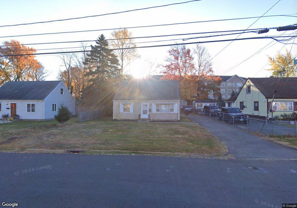
88 Ronald Rd New Britain, CT 06053
Estimated Value: $161,000 - $269,000
3
Beds
1
Bath
1,080
Sq Ft
$201/Sq Ft
Est. Value
About This Home
This home is located at 88 Ronald Rd, New Britain, CT 06053 and is currently estimated at $217,298, approximately $201 per square foot. 88 Ronald Rd is a home located in Hartford County with nearby schools including Jefferson School, Pulaski Middle School, and Mountain Laurel Sudbury School.
Ownership History
Date
Name
Owned For
Owner Type
Purchase Details
Closed on
Jul 6, 2004
Sold by
Pellegatto Gail L
Bought by
Gill John
Current Estimated Value
Home Financials for this Owner
Home Financials are based on the most recent Mortgage that was taken out on this home.
Original Mortgage
$75,000
Outstanding Balance
$37,665
Interest Rate
6.3%
Estimated Equity
$179,633
Create a Home Valuation Report for This Property
The Home Valuation Report is an in-depth analysis detailing your home's value as well as a comparison with similar homes in the area
Home Values in the Area
Average Home Value in this Area
Purchase History
| Date | Buyer | Sale Price | Title Company |
|---|---|---|---|
| Gill John | $79,500 | -- |
Source: Public Records
Mortgage History
| Date | Status | Borrower | Loan Amount |
|---|---|---|---|
| Open | Gill John | $75,000 | |
| Previous Owner | Gill John | $80,289 | |
| Previous Owner | Gill John | $7,000 |
Source: Public Records
Tax History
| Year | Tax Paid | Tax Assessment Tax Assessment Total Assessment is a certain percentage of the fair market value that is determined by local assessors to be the total taxable value of land and additions on the property. | Land | Improvement |
|---|---|---|---|---|
| 2025 | $4,111 | $104,930 | $39,900 | $65,030 |
| 2024 | $4,154 | $104,930 | $39,900 | $65,030 |
| 2023 | $4,017 | $104,930 | $39,900 | $65,030 |
| 2022 | $3,597 | $72,660 | $16,800 | $55,860 |
| 2021 | $3,597 | $72,660 | $16,800 | $55,860 |
| 2020 | $3,669 | $72,660 | $16,800 | $55,860 |
| 2019 | $3,669 | $72,660 | $16,800 | $55,860 |
| 2018 | $3,669 | $72,660 | $16,800 | $55,860 |
| 2017 | $3,344 | $66,220 | $16,800 | $49,420 |
| 2016 | $3,344 | $66,220 | $16,800 | $49,420 |
| 2015 | $3,245 | $66,220 | $16,800 | $49,420 |
| 2014 | $3,245 | $66,220 | $16,800 | $49,420 |
Source: Public Records
Map
Nearby Homes
- 21 Skipper St
- 24 Pentlow Ave
- 678 Farmington Ave
- 234 Pierremount Ave
- 432 Mcclintock St
- 45 Tunxis St
- 57 Merigold Dr
- 482 Commonwealth Ave
- 55 Allen St
- 527 Burritt St
- 1114 Fienemann Rd
- 154 Allen St
- 169 Country Club Rd
- 50 Curtin Ave
- 45 Atlantic St Unit C
- 182 Francis St
- 266 Grove St
- 53 Park Dr
- 230 Hillhurst Ave
- 142 Lasalle St
Your Personal Tour Guide
Ask me questions while you tour the home.