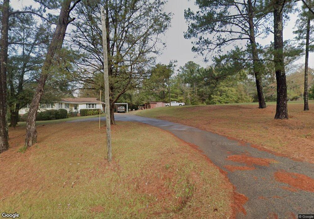
88 S Glenn Rd Lagrange, GA 30241
Estimated Value: $221,103 - $252,000
4
Beds
2
Baths
1,770
Sq Ft
$135/Sq Ft
Est. Value
About This Home
This home is located at 88 S Glenn Rd, Lagrange, GA 30241 and is currently estimated at $238,276, approximately $134 per square foot. 88 S Glenn Rd is a home located in Troup County with nearby schools including Rosemont Elementary School, Whitesville Road Elementary School, and Berta Weathersbee Elementary School.
Ownership History
Date
Name
Owned For
Owner Type
Purchase Details
Closed on
Sep 17, 1999
Sold by
Ray Tarwater
Bought by
Tarwater Janet
Current Estimated Value
Purchase Details
Closed on
Sep 16, 1999
Sold by
Janet Ray and Janet Tarwater
Bought by
Ray Tarwater
Purchase Details
Closed on
Dec 6, 1996
Bought by
Janet Ray and Janet Tarwater
Purchase Details
Closed on
Feb 25, 1983
Sold by
Ware Bros Inc
Purchase Details
Closed on
Mar 9, 1975
Bought by
Ware Bros Inc
Create a Home Valuation Report for This Property
The Home Valuation Report is an in-depth analysis detailing your home's value as well as a comparison with similar homes in the area
Purchase History
| Date | Buyer | Sale Price | Title Company |
|---|---|---|---|
| Tarwater Janet | -- | -- | |
| Ray Tarwater | -- | -- | |
| Janet Ray | -- | -- | |
| -- | $4,000 | -- | |
| Ware Bros Inc | -- | -- |
Source: Public Records
Tax History
| Year | Tax Paid | Tax Assessment Tax Assessment Total Assessment is a certain percentage of the fair market value that is determined by local assessors to be the total taxable value of land and additions on the property. | Land | Improvement |
|---|---|---|---|---|
| 2025 | $1,386 | $62,148 | $5,880 | $56,268 |
| 2024 | $1,213 | $52,308 | $5,880 | $46,428 |
| 2023 | $576 | $46,828 | $5,880 | $40,948 |
| 2022 | $983 | $42,948 | $4,720 | $38,228 |
| 2021 | $972 | $39,976 | $4,400 | $35,576 |
| 2020 | $1,146 | $39,976 | $4,400 | $35,576 |
| 2019 | $1,204 | $41,912 | $4,400 | $37,512 |
| 2018 | $1,100 | $38,456 | $4,400 | $34,056 |
| 2017 | $1,100 | $38,456 | $4,400 | $34,056 |
| 2016 | $1,105 | $38,633 | $4,432 | $34,201 |
| 2015 | $1,107 | $38,633 | $4,432 | $34,201 |
| 2014 | $1,055 | $36,833 | $4,432 | $32,401 |
| 2013 | -- | $39,108 | $4,432 | $34,676 |
Source: Public Records
Map
Nearby Homes
- 0 Smokey Rd Unit 10570471
- 37.23 ACRES / 0 Smokey Rd
- 0 Briley Rd Unit 10582531
- 0 Briley Rd Unit 214353
- 0 Lower Big Springs Rd Unit 10718109
- 0 Lower Big Springs Rd Unit 26695797
- 417 Tucker Rd
- 111 Prestwick Dr
- 0 Wadley St Unit 10709450
- 0 Wadley St Unit 27032785
- 123 S Smith Rd
- 7142 Hamilton Rd
- 246 S Smith Rd
- 950 John Lovelace Rd
- 0 Leisure Cir Unit 10717962
- 0 Leisure Cir Unit 231193
- 137 Robertson Rd
- 829 Thrash Rd
- 830 John Lovelace Rd
- 113 Glenn Eagle Point
Your Personal Tour Guide
Ask me questions while you tour the home.