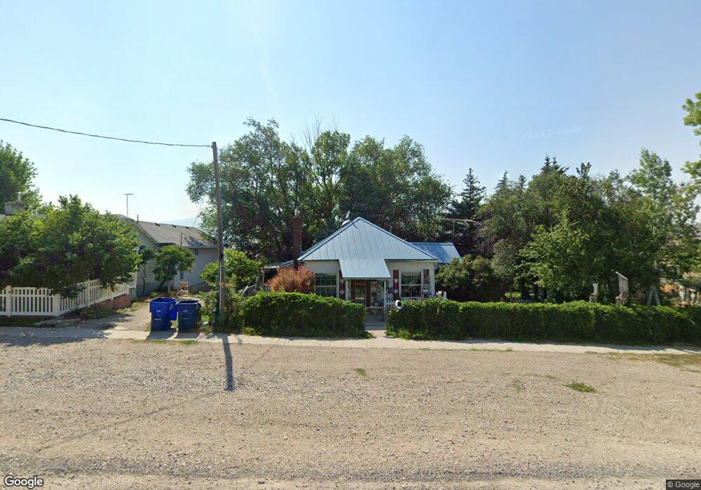
88 S Grant St Stockton, UT 84071
Estimated Value: $224,000 - $326,000
--
Bed
--
Bath
969
Sq Ft
$293/Sq Ft
Est. Value
About This Home
This home is located at 88 S Grant St, Stockton, UT 84071 and is currently estimated at $283,630, approximately $292 per square foot. 88 S Grant St is a home with nearby schools including Settlement Canyon Elementary School and Dugway.
Ownership History
Date
Name
Owned For
Owner Type
Purchase Details
Closed on
Mar 4, 2009
Sold by
Martin Pat K and Martin Terry P
Bought by
Martin Pat K
Current Estimated Value
Home Financials for this Owner
Home Financials are based on the most recent Mortgage that was taken out on this home.
Original Mortgage
$50,000
Interest Rate
5.08%
Mortgage Type
Purchase Money Mortgage
Create a Home Valuation Report for This Property
The Home Valuation Report is an in-depth analysis detailing your home's value as well as a comparison with similar homes in the area
Home Values in the Area
Average Home Value in this Area
Purchase History
| Date | Buyer | Sale Price | Title Company |
|---|---|---|---|
| Martin Pat K | -- | Metro National Title | |
| Martin Pat K | -- | Metro National Title |
Source: Public Records
Mortgage History
| Date | Status | Borrower | Loan Amount |
|---|---|---|---|
| Closed | Martin Pat K | $50,000 |
Source: Public Records
Tax History Compared to Growth
Tax History
| Year | Tax Paid | Tax Assessment Tax Assessment Total Assessment is a certain percentage of the fair market value that is determined by local assessors to be the total taxable value of land and additions on the property. | Land | Improvement |
|---|---|---|---|---|
| 2025 | $1,560 | $114,591 | $25,836 | $88,755 |
| 2024 | $1,560 | $114,986 | $25,836 | $89,150 |
| 2023 | $1,560 | $108,221 | $25,836 | $82,385 |
| 2022 | $1,441 | $116,454 | $45,485 | $70,969 |
| 2021 | $1,434 | $96,533 | $45,485 | $51,048 |
| 2020 | $1,039 | $117,044 | $11,000 | $106,044 |
| 2019 | $842 | $100,560 | $11,000 | $89,560 |
| 2018 | $783 | $86,823 | $11,000 | $75,823 |
| 2017 | $585 | $74,186 | $11,000 | $63,186 |
| 2016 | $628 | $40,802 | $6,050 | $34,752 |
| 2015 | $628 | $42,477 | $0 | $0 |
| 2014 | -- | $42,477 | $0 | $0 |
Source: Public Records
Map
Nearby Homes
- 25 W Pearson
- 1703 Copper St Unit 1277
- 1717 Copper St Unit 1281
- 0 E Bald Mountain Rd
- 0 Utah 36
- 2258 W Deer Run Dr Unit 174
- 2423 W Cedarline Loop
- 2521 W Ridgeline Rd
- 2692 W Rim Rock Dr Unit 910
- 1472 S Hogans Rd
- 2912 W Rim Rock Dr
- 2974 W Ridgeline Rd Unit 85
- 3214 W Ridgeline Rd
- 879 Sundown Ln
- 1115 S 1010 W
- 1118 S 900 W
- 954 S 1050 W
- 1038 S 860 W
- 729 Timpie Rd
- 858 S 780 W
- 65 S Grant St
- 51 S Grant St
- 81 S Grant St
- 89 S Grant St
- 98 S Grant St
- 39 S Grant Ave
- 60 S Plaza St
- 50 S Sheridan St
- 25 S Grant St
- 185 S Grant St
- 140 S Grant St
- 140 S Grant St
- 111 S Grant St
- 126 S Grant St
- 129 S Sheridan St
- 42 E Silver Ave
- 129 S Grant St
- 26 S Plaza St
- 41 S Sheridan St
- 29 W Silver Ave