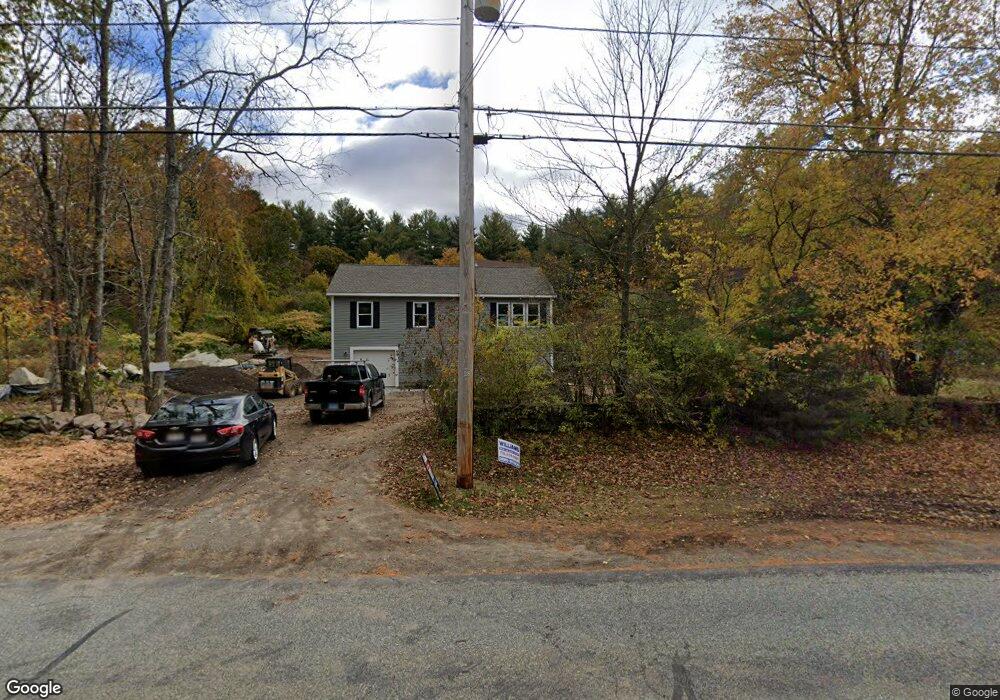
88 Sutton Rd Webster, MA 01570
Estimated Value: $371,144 - $554,000
3
Beds
1
Bath
1,782
Sq Ft
$243/Sq Ft
Est. Value
About This Home
This home is located at 88 Sutton Rd, Webster, MA 01570 and is currently estimated at $432,536, approximately $242 per square foot. 88 Sutton Rd is a home located in Worcester County with nearby schools including Park Avenue Elementary School, Webster Middle School, and Bartlett High School.
Ownership History
Date
Name
Owned For
Owner Type
Purchase Details
Closed on
Dec 5, 2008
Sold by
Cambridge Prop Llc
Bought by
Foley Kyle and Foley Megan T
Current Estimated Value
Home Financials for this Owner
Home Financials are based on the most recent Mortgage that was taken out on this home.
Original Mortgage
$187,426
Outstanding Balance
$123,720
Interest Rate
6.11%
Mortgage Type
Purchase Money Mortgage
Estimated Equity
$308,816
Purchase Details
Closed on
Oct 31, 2007
Sold by
Dorischild Arlene and Snay Joan F
Bought by
Cambridge Prop Llc
Create a Home Valuation Report for This Property
The Home Valuation Report is an in-depth analysis detailing your home's value as well as a comparison with similar homes in the area
Home Values in the Area
Average Home Value in this Area
Purchase History
| Date | Buyer | Sale Price | Title Company |
|---|---|---|---|
| Foley Kyle | $189,900 | -- | |
| Cambridge Prop Llc | $185,000 | -- |
Source: Public Records
Mortgage History
| Date | Status | Borrower | Loan Amount |
|---|---|---|---|
| Open | Foley Kyle | $187,426 |
Source: Public Records
Tax History
| Year | Tax Paid | Tax Assessment Tax Assessment Total Assessment is a certain percentage of the fair market value that is determined by local assessors to be the total taxable value of land and additions on the property. | Land | Improvement |
|---|---|---|---|---|
| 2025 | $2,551 | $214,700 | $76,200 | $138,500 |
| 2024 | $2,515 | $206,500 | $73,300 | $133,200 |
| 2023 | $2,375 | $190,000 | $73,200 | $116,800 |
| 2022 | $2,355 | $168,700 | $71,100 | $97,600 |
| 2021 | $2,410 | $159,600 | $71,100 | $88,500 |
| 2020 | $2,354 | $156,300 | $71,100 | $85,200 |
| 2019 | $2,290 | $149,400 | $71,200 | $78,200 |
| 2018 | $2,212 | $143,700 | $71,200 | $72,500 |
| 2017 | $2,029 | $134,100 | $69,700 | $64,400 |
| 2016 | $1,980 | $130,800 | $66,400 | $64,400 |
| 2015 | $1,882 | $128,200 | $65,100 | $63,100 |
Source: Public Records
Map
Nearby Homes
- 18 Kingsbury Rd
- 98 Minebrook Rd
- 110 Minebrook Rd
- 149 A Gore Rd
- 66 Racicot Ave
- 14 Slater St
- 27 Douglas Rd
- 23 Lakeview Rd
- 3 Upper Gore Rd
- 13 Harwood St
- 113 Main St
- 10 Indian Point Rd
- 0 Prospect St
- 66 Whitcomb St
- 20-22 Bacon St
- 613-615 S Main St
- 125 Birch Island Rd
- 48 Lake St
- 5 Maid Marion St
- 13 5th Ave
Your Personal Tour Guide
Ask me questions while you tour the home.