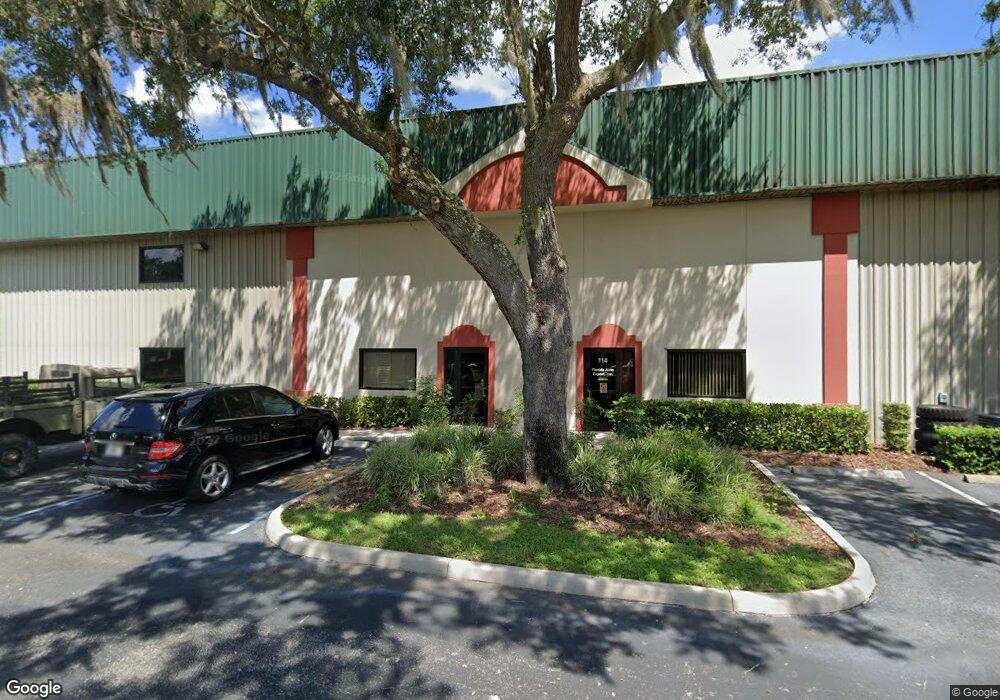
880 Airport Rd Unit 114 Ormond Beach, FL 32174
Estimated Value: $300,705
Studio
--
Bath
1,950
Sq Ft
$154/Sq Ft
Est. Value
About This Home
This home is located at 880 Airport Rd Unit 114, Ormond Beach, FL 32174 and is currently estimated at $300,705, approximately $154 per square foot. 880 Airport Rd Unit 114 is a home located in Volusia County with nearby schools including Pine Trail Elementary School, Ormond Beach Middle School, and Seabreeze High School.
Ownership History
Date
Name
Owned For
Owner Type
Purchase Details
Closed on
May 16, 2017
Sold by
Badd News Llc
Bought by
Schwaez Thomas
Current Estimated Value
Home Financials for this Owner
Home Financials are based on the most recent Mortgage that was taken out on this home.
Original Mortgage
$148,500
Outstanding Balance
$113,239
Interest Rate
4.1%
Mortgage Type
Commercial
Estimated Equity
$187,466
Purchase Details
Closed on
Jan 29, 2007
Sold by
Albano Enterprises Llc
Bought by
Badd News Llc
Home Financials for this Owner
Home Financials are based on the most recent Mortgage that was taken out on this home.
Original Mortgage
$265,500
Interest Rate
8.25%
Mortgage Type
Commercial
Purchase Details
Closed on
May 17, 2005
Sold by
Betnr Industrial Development Corp
Bought by
Albano Enterprises Llc
Create a Home Valuation Report for This Property
The Home Valuation Report is an in-depth analysis detailing your home's value as well as a comparison with similar homes in the area
Purchase History
| Date | Buyer | Sale Price | Title Company |
|---|---|---|---|
| Schwaez Thomas | $165,000 | Southern Title Holding Co Ll | |
| Badd News Llc | $295,000 | Waterside Title Co | |
| Albano Enterprises Llc | $225,000 | -- |
Source: Public Records
Mortgage History
| Date | Status | Borrower | Loan Amount |
|---|---|---|---|
| Open | Schwaez Thomas | $148,500 | |
| Previous Owner | Badd News Llc | $265,500 |
Source: Public Records
Tax History
| Year | Tax Paid | Tax Assessment Tax Assessment Total Assessment is a certain percentage of the fair market value that is determined by local assessors to be the total taxable value of land and additions on the property. | Land | Improvement |
|---|---|---|---|---|
| 2026 | $3,048 | $186,268 | $39,000 | $147,268 |
| 2025 | $3,048 | $186,268 | $39,000 | $147,268 |
| 2024 | $2,895 | $181,548 | $39,000 | $142,548 |
| 2023 | $2,895 | $177,263 | $39,000 | $138,263 |
| 2022 | $2,694 | $165,062 | $39,000 | $126,062 |
| 2021 | $2,625 | $149,160 | $39,000 | $110,160 |
| 2020 | $2,608 | $148,135 | $39,000 | $109,135 |
| 2019 | $2,517 | $141,765 | $39,000 | $102,765 |
| 2018 | $2,583 | $141,626 | $50,310 | $91,316 |
| 2017 | $1,843 | $96,625 | $23,400 | $73,225 |
| 2016 | $1,771 | $89,487 | $0 | $0 |
| 2015 | $1,927 | $93,574 | $0 | $0 |
| 2014 | $1,890 | $91,572 | $0 | $0 |
Source: Public Records
Map
Nearby Homes
- 1 Big Bear Path Unit 21
- 17 Lil Cub Path Unit 13
- 8 Honey Bear Path Unit 71
- 10 Little Bear Path Unit 60
- 10090 U S Route 1
- 880 Route 1
- 23 Kodiak Path Unit 115
- 9 Kodiak Path
- 8 Polar Bear Path Unit 199
- 1031 N Us Highway 1
- 4 Polar Bear Path Unit 201
- 10 Panda Bear Path Unit 184
- 5 Grizzly Bear Path Unit 245
- 2 Panda Bear Path Unit 188
- 39 Polar Bear Path Unit 157
- 8 Gentle Ben Path Unit 215
- 2 Malayan Sun Bear Path Unit 277
- 188 Bear Foot Trail Unit 519
- 3 Bear Claw Path
- 2 Bear Claw Path Unit 169
- 880 Airport Rd Unit 110
- 880 Airport Rd Unit 105
- 880 Airport Rd Unit 111
- 880 Airport Rd
- 9 Little Bear Path
- 1 Big Bear Path
- 1 Little Bear Path Unit 18
- 25 Lil Cub Path Unit 17
- 25 Lil Cub Path
- 16 Lil Cub Path Unit 8
- 2 Honey Bear Path Unit 74
- 27 Big Bear Path Unit 33
- 19 Honey Bear Path Unit 89
- 1074 U S Route 1 Unit 1
- 1074 U S 1
- 1074 U S 1 Unit 1
- 1074 N U S Hwy 1
- 29 Big Bear Path
- 22 Bear Creek Path
- 22 Bear Creek Path Unit 103
Your Personal Tour Guide
Ask me questions while you tour the home.