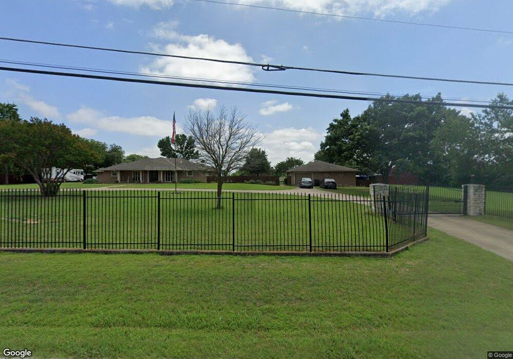
880 Ashford Ln Midlothian, TX 76065
Estimated Value: $690,644 - $796,000
3
Beds
3
Baths
2,233
Sq Ft
$333/Sq Ft
Est. Value
About This Home
This home is located at 880 Ashford Ln, Midlothian, TX 76065 and is currently estimated at $743,322, approximately $332 per square foot. 880 Ashford Ln is a home located in Ellis County with nearby schools including Larue Miller Elementary School and Frank Seale Middle School.
Ownership History
Date
Name
Owned For
Owner Type
Purchase Details
Closed on
Nov 1, 2024
Sold by
Williams Michael D and Williams Joann
Bought by
Brooks Spencer Jeffrey
Current Estimated Value
Home Financials for this Owner
Home Financials are based on the most recent Mortgage that was taken out on this home.
Original Mortgage
$1,021,500
Outstanding Balance
$1,011,273
Interest Rate
6.09%
Mortgage Type
VA
Estimated Equity
-$267,951
Purchase Details
Closed on
Feb 26, 2014
Sold by
Williams Michael D
Bought by
Williams Michael D and Williams Joann
Home Financials for this Owner
Home Financials are based on the most recent Mortgage that was taken out on this home.
Original Mortgage
$323,549
Interest Rate
4.44%
Mortgage Type
New Conventional
Create a Home Valuation Report for This Property
The Home Valuation Report is an in-depth analysis detailing your home's value as well as a comparison with similar homes in the area
Home Values in the Area
Average Home Value in this Area
Purchase History
| Date | Buyer | Sale Price | Title Company |
|---|---|---|---|
| Brooks Spencer Jeffrey | -- | None Listed On Document | |
| Williams Michael D | -- | Allegiance Title Co |
Source: Public Records
Mortgage History
| Date | Status | Borrower | Loan Amount |
|---|---|---|---|
| Open | Brooks Spencer Jeffrey | $1,021,500 | |
| Previous Owner | Williams Michael D | $323,549 |
Source: Public Records
Tax History Compared to Growth
Tax History
| Year | Tax Paid | Tax Assessment Tax Assessment Total Assessment is a certain percentage of the fair market value that is determined by local assessors to be the total taxable value of land and additions on the property. | Land | Improvement |
|---|---|---|---|---|
| 2025 | $5,961 | $726,826 | $290,000 | $436,826 |
| 2024 | $5,961 | $516,506 | -- | -- |
| 2023 | $5,961 | $469,551 | $0 | $0 |
| 2022 | $9,564 | $426,865 | $0 | $0 |
| 2021 | $9,183 | $464,120 | $0 | $0 |
| 2020 | $8,874 | $458,620 | $0 | $0 |
| 2019 | $11,410 | $435,710 | $0 | $0 |
| 2018 | $9,882 | $410,470 | $0 | $0 |
| 2017 | $8,354 | $406,820 | $0 | $0 |
| 2016 | $8,207 | $400,280 | $0 | $0 |
| 2015 | $6,610 | $373,320 | $0 | $0 |
| 2014 | $6,610 | $356,470 | $0 | $0 |
Source: Public Records
Map
Nearby Homes
- 4218 Bel Air Dr
- 4213 Bel Air Dr
- 4410 Bel Air Dr
- 4213 Biscayne Dr
- 4414 Bel Air Dr
- 4410 Biscayne Dr
- 4418 Bel Air Dr
- 4414 Biscayne Dr
- 4422 Bel Air Dr
- Hawthorne Side Entry Plan at Ridgepoint
- Dewberry III Side Entry Plan at Ridgepoint
- Primrose V Plan at Ridgepoint
- Primrose VI Plan at Ridgepoint
- Seaberry Plan at Ridgepoint
- Rockcress Plan at Ridgepoint
- Primrose III Plan at Ridgepoint
- Primrose II Plan at Ridgepoint
- Spring Cress Plan at Ridgepoint
- Carolina III Plan at Ridgepoint
- Primrose Plan at Ridgepoint
- 1010 Ashford Ln
- 4081 Rolling Wood Ln
- 4202 Bel Air Dr
- 4080 Rolling Wood Ln
- 1012 Ashford Ln
- 1014 Ashford Ln
- 4226 Bel Air Dr
- 871 Ashford Ln
- 4070 Rolling Wood Ln
- 4061 Rolling Wood Ln
- 4214 Biscayne Dr
- 4401 Bel Air Dr
- 0000 Ashford Ln
- 0 Ashford Ln
- 4406 Bel Air Dr
- 4209 Biscayne Dr
- 4409 Bel Air Dr
- 4051 Rolling Wood Ln
- 661 Ashford Ln
- 4040 Rolling Wood Ln