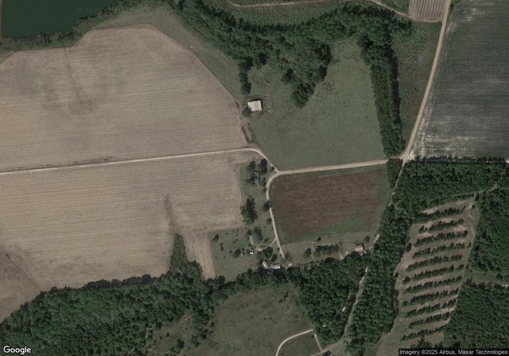
880 Bruner Cir Metter, GA 30439
Estimated Value: $123,029 - $275,000
--
Bed
1
Bath
1,290
Sq Ft
$142/Sq Ft
Est. Value
About This Home
This home is located at 880 Bruner Cir, Metter, GA 30439 and is currently estimated at $183,757, approximately $142 per square foot. 880 Bruner Cir is a home located in Candler County with nearby schools including Metter Elementary School, Metter Intermediate School, and Metter Middle School.
Ownership History
Date
Name
Owned For
Owner Type
Purchase Details
Closed on
Jan 25, 2006
Sold by
Bruner Grover William
Bought by
Lanier Craig W and Lanier Tammie
Current Estimated Value
Home Financials for this Owner
Home Financials are based on the most recent Mortgage that was taken out on this home.
Original Mortgage
$50,153
Outstanding Balance
$28,134
Interest Rate
6.14%
Mortgage Type
New Conventional
Estimated Equity
$155,623
Purchase Details
Closed on
May 22, 1997
Sold by
Bruner G W Estate
Bought by
Bruner Orelee B
Purchase Details
Closed on
Dec 4, 1945
Sold by
Trapnell M E
Bought by
Bruner G W
Create a Home Valuation Report for This Property
The Home Valuation Report is an in-depth analysis detailing your home's value as well as a comparison with similar homes in the area
Home Values in the Area
Average Home Value in this Area
Purchase History
| Date | Buyer | Sale Price | Title Company |
|---|---|---|---|
| Lanier Craig W | $60,000 | -- | |
| Bruner Orelee B | -- | -- | |
| Bruner G W | -- | -- |
Source: Public Records
Mortgage History
| Date | Status | Borrower | Loan Amount |
|---|---|---|---|
| Open | Lanier Craig W | $50,153 |
Source: Public Records
Tax History Compared to Growth
Tax History
| Year | Tax Paid | Tax Assessment Tax Assessment Total Assessment is a certain percentage of the fair market value that is determined by local assessors to be the total taxable value of land and additions on the property. | Land | Improvement |
|---|---|---|---|---|
| 2024 | $1,351 | $35,282 | $2,365 | $32,917 |
| 2023 | $1,351 | $33,889 | $2,365 | $31,524 |
| 2022 | $1,186 | $29,243 | $2,365 | $26,878 |
| 2021 | $1,041 | $25,543 | $2,365 | $23,178 |
| 2020 | $1,043 | $25,543 | $2,365 | $23,178 |
| 2019 | $1,046 | $25,543 | $2,365 | $23,178 |
| 2018 | $644 | $23,138 | $2,365 | $20,773 |
| 2017 | $605 | $23,138 | $2,365 | $20,773 |
| 2016 | $994 | $23,138 | $2,365 | $20,773 |
Source: Public Records
Map
Nearby Homes
- 0 Indigo Rd Unit 10425491
- 15238 Turner Rd
- 16877 Highway 129
- 0 Canoochee Rd Unit 10565737
- 0 Oak Tree Rd Unit (31.62 AC) 10490874
- 0 Kennedy Bridge Rd Unit SA335889
- 205 Dekle Rd S
- 2202 Kennedy Bridge Rd
- 6424 Collins Rd
- 1550 Adabelle Rd
- 9418 Donnell Rd
- 550 S Rountree St
- 405 S Leroy St
- 365 S Leroy St
- 0 Tillman Eason Rd
- 450 S Rountree St
- 100 Sandstone Place
- 295 S Lewis St
- 250 S Lewis St
- 405 Preston St
