Estimated Value: $484,000 - $598,831
--
Bed
1
Bath
2,125
Sq Ft
$255/Sq Ft
Est. Value
About This Home
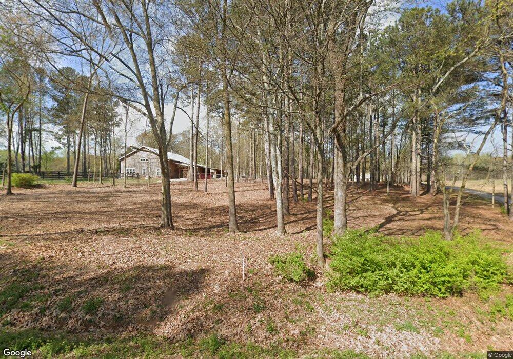
This home is located at 880 Buford Carey Rd, Hull, GA 30646 and is currently estimated at $542,277, approximately $255 per square foot. 880 Buford Carey Rd is a home with nearby schools including Madison County High School and Union Christian Academy.
Ownership History
Date
Name
Owned For
Owner Type
Purchase Details
Closed on
Jul 28, 2017
Sold by
Fleetwood Dennis L
Bought by
Landus Bennett John
Current Estimated Value
Purchase Details
Closed on
Jan 1, 1991
Bought by
Fleetwood Dennis L
Purchase Details
Closed on
Jan 1, 1978
Sold by
Swindle Theo
Bought by
Swindle Faye
Create a Home Valuation Report for This Property
The Home Valuation Report is an in-depth analysis detailing your home's value as well as a comparison with similar homes in the area
Home Values in the Area
Average Home Value in this Area
Purchase History
| Date | Buyer | Sale Price | Title Company |
|---|---|---|---|
| Landus Bennett John | $81,000 | -- | |
| Fleetwood Dennis L | -- | -- | |
| Swindle Faye | -- | -- |
Source: Public Records
Tax History Compared to Growth
Tax History
| Year | Tax Paid | Tax Assessment Tax Assessment Total Assessment is a certain percentage of the fair market value that is determined by local assessors to be the total taxable value of land and additions on the property. | Land | Improvement |
|---|---|---|---|---|
| 2024 | $5,532 | $222,552 | $50,838 | $171,714 |
| 2023 | $6,227 | $203,991 | $42,365 | $161,626 |
| 2022 | $4,514 | $173,641 | $29,126 | $144,515 |
| 2021 | $4,359 | $142,804 | $29,126 | $113,678 |
| 2020 | $4,260 | $138,568 | $24,890 | $113,678 |
| 2019 | $2,201 | $70,771 | $24,890 | $45,881 |
| 2018 | $710 | $22,772 | $22,772 | $0 |
| 2017 | $610 | $21,182 | $21,182 | $0 |
| 2016 | $608 | $21,182 | $21,182 | $0 |
| 2015 | $608 | $21,182 | $21,182 | $0 |
| 2014 | $630 | $21,798 | $21,798 | $0 |
| 2013 | -- | $21,798 | $21,798 | $0 |
Source: Public Records
Map
Nearby Homes
- 0 Nowhere Rd Unit 10532129
- 3655 Neese Commerce Rd
- 495 Hanley Rd
- 197 Joan Smith Rd
- 1191 Aderhold Rogers Rd
- 110 Williams Wilson Rd
- 25 Williams Wilson Rd
- 280 Corey Dr
- 136 Wedgewood Dr
- 213 Duncan Swindle Rd Unit TRACT 1
- 5492 Georgia 98
- 235 Minish Lake Rd
- 397 W L Williams Rd
- 395 W L Williams Rd
- 16 W L Williams Rd
- 14 W L Williams Rd
- 399 W L Williams Rd
- 15 W L Williams Rd
- 9 W L Williams Rd
- 832 Stone Stewart Rd
- 890 Buford Carey Rd
- 840 Buford Carey Rd
- 838 Buford Carey Rd
- 834 Buford Carey Rd
- 801 Buford Carey Rd
- 1099 Wolf Creek Trail
- 897 Buford Carey Rd
- 64 Wolf Creek Trail
- 68 Wolf Creek Trail
- 536 Buford Carey Rd
- 1175 Buford Carey Rd
- 410 Wolf Creek Trail
- 440 Buford Carey Rd
- 543 Buford Carey Rd
- 322 Buford Carey Rd
- 1227 Buford Carey Rd
- 580 Wolf Creek Trail
- 539 Buford Carey Rd
- 893 Buford Carey Rd
- 1239 Buford Carey Rd