Estimated Value: $129,000 - $158,388
3
Beds
1
Bath
1,576
Sq Ft
$90/Sq Ft
Est. Value
About This Home
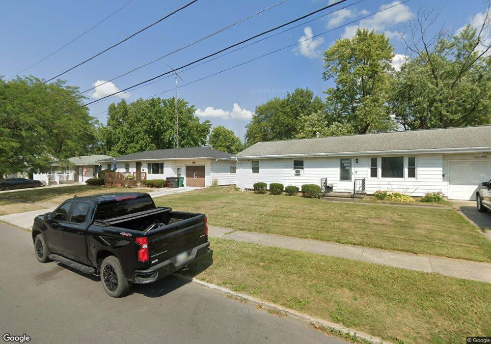
This home is located at 880 Deborah St, Lima, OH 45801 and is currently estimated at $141,097, approximately $89 per square foot. 880 Deborah St is a home located in Allen County with nearby schools including Independence Elementary School, Lima North Middle School, and Lima West Middle School.
Ownership History
Date
Name
Owned For
Owner Type
Purchase Details
Closed on
Mar 7, 1997
Sold by
Wheeler Richard
Bought by
Currens Nicholas
Current Estimated Value
Home Financials for this Owner
Home Financials are based on the most recent Mortgage that was taken out on this home.
Original Mortgage
$54,150
Outstanding Balance
$6,677
Interest Rate
7.93%
Mortgage Type
New Conventional
Estimated Equity
$134,420
Purchase Details
Closed on
Aug 31, 1989
Bought by
Wheeler Shirley Ann
Create a Home Valuation Report for This Property
The Home Valuation Report is an in-depth analysis detailing your home's value as well as a comparison with similar homes in the area
Purchase History
| Date | Buyer | Sale Price | Title Company |
|---|---|---|---|
| Currens Nicholas | $57,000 | -- | |
| Wheeler Shirley Ann | -- | -- |
Source: Public Records
Mortgage History
| Date | Status | Borrower | Loan Amount |
|---|---|---|---|
| Open | Currens Nicholas | $54,150 |
Source: Public Records
Tax History
| Year | Tax Paid | Tax Assessment Tax Assessment Total Assessment is a certain percentage of the fair market value that is determined by local assessors to be the total taxable value of land and additions on the property. | Land | Improvement |
|---|---|---|---|---|
| 2024 | $1,489 | $40,400 | $4,030 | $36,370 |
| 2023 | $1,173 | $27,300 | $2,730 | $24,570 |
| 2022 | $1,180 | $27,300 | $2,730 | $24,570 |
| 2021 | $1,218 | $27,300 | $2,730 | $24,570 |
| 2020 | $1,262 | $25,140 | $2,630 | $22,510 |
| 2019 | $1,262 | $25,140 | $2,630 | $22,510 |
| 2018 | $1,200 | $25,140 | $2,630 | $22,510 |
| 2017 | $1,160 | $22,900 | $2,630 | $20,270 |
| 2016 | $1,171 | $22,900 | $2,630 | $20,270 |
| 2015 | $1,358 | $22,900 | $2,630 | $20,270 |
| 2014 | $1,358 | $26,430 | $2,520 | $23,910 |
| 2013 | $1,321 | $26,430 | $2,520 | $23,910 |
Source: Public Records
Map
Nearby Homes
- 745 Ewing Ave
- 760 W O'Connor Ave
- 635 W Ashton Ave
- 1027 Sherman Ave
- 841 N Baxter St
- 645 W O'Connor Ave
- 816 N Baxter St
- 608 W O'Connor Ave
- 557 W Ashton Ave
- 576 W Ashton Ave
- 934 N Metcalf St
- 631 Hazel Ave
- 949 Leland Ave
- 703 N Collett St
- 0 Latham
- 824 Rice Ave
- 1021 N McDonel St
- 406 Ewing Ave
- 1015 N Cole St
- 1212 Virginia Ave
- 876 Deborah St
- 872 Deborah St
- 1112 Northwold St
- 933 Tremont Ave
- 929 Tremont Ave
- 1116 Northwold St
- 881 Deborah St
- 868 Deborah St
- 879 Deborah St
- 923 Tremont Ave
- 1104 Northwold St
- 877 Deborah St
- 989 Tremont Ave
- 919 Tremont Ave
- 864 Deborah St
- 873 Deborah St
- 904 W Murphy St
- 917 Tremont Ave
- 880 W Murphy St
Your Personal Tour Guide
Ask me questions while you tour the home.