880 E Lochland Rd Hastings, NE 68901
Estimated Value: $531,000 - $883,770
3
Beds
6
Baths
2,755
Sq Ft
$256/Sq Ft
Est. Value
About This Home
This home is located at 880 E Lochland Rd, Hastings, NE 68901 and is currently estimated at $704,923, approximately $255 per square foot. 880 E Lochland Rd is a home with nearby schools including Adams County 15, Wallace School, and Adams Central Elementary School.
Ownership History
Date
Name
Owned For
Owner Type
Purchase Details
Closed on
Nov 28, 2022
Sold by
Anderson Jeremy M and Anderson Gretchen K
Bought by
Bauder Michael J and Bauder Melissa L
Current Estimated Value
Home Financials for this Owner
Home Financials are based on the most recent Mortgage that was taken out on this home.
Original Mortgage
$863,576
Outstanding Balance
$426,454
Interest Rate
7.08%
Mortgage Type
New Conventional
Estimated Equity
$278,469
Create a Home Valuation Report for This Property
The Home Valuation Report is an in-depth analysis detailing your home's value as well as a comparison with similar homes in the area
Home Values in the Area
Average Home Value in this Area
Purchase History
| Date | Buyer | Sale Price | Title Company |
|---|---|---|---|
| Bauder Michael J | $875,000 | Adams Land Title |
Source: Public Records
Mortgage History
| Date | Status | Borrower | Loan Amount |
|---|---|---|---|
| Open | Bauder Michael J | $863,576 |
Source: Public Records
Tax History Compared to Growth
Tax History
| Year | Tax Paid | Tax Assessment Tax Assessment Total Assessment is a certain percentage of the fair market value that is determined by local assessors to be the total taxable value of land and additions on the property. | Land | Improvement |
|---|---|---|---|---|
| 2024 | $7,853 | $651,064 | $62,500 | $588,564 |
| 2023 | $9,648 | $610,130 | $62,500 | $547,630 |
| 2022 | $10,351 | $610,130 | $62,500 | $547,630 |
| 2021 | $10,886 | $661,525 | $62,500 | $599,025 |
| 2020 | $10,146 | $633,000 | $62,500 | $570,500 |
| 2019 | $9,892 | $633,000 | $62,500 | $570,500 |
| 2018 | $9,491 | $598,000 | $27,500 | $570,500 |
| 2017 | $9,418 | $598,000 | $0 | $0 |
| 2016 | $421 | $27,500 | $27,500 | $0 |
| 2010 | $486 | $25,000 | $25,000 | $0 |
Source: Public Records
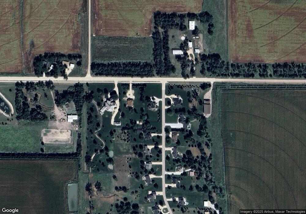
Map
Nearby Homes
- 635 E Lochland Rd
- 15 Village Dr
- 5804 Pheasant Run Ave
- 5905 Mallard Way
- 508 Quail Cir
- 843 Highland Dr
- 920 Highland Dr
- XXX E Osborne Dr
- 0 Jordan Way
- 5402 Randolph Cir
- 604 Brooking Cir
- 3211 E Laux Dr
- 3221 Frahm Ln
- 3117 Frahm Ln
- 3107 W Laux Dr
- 3109 W Laux Dr
- 3610 Wendell Dr
- 3013 W Laux Dr
- 3008 E Laux Dr
- 602 Dockside Cove
- 840 E Lochland Rd
- 5760 N 1st Ave
- 5645 N 1st Ave
- 5640 N 1st Ave
- 5680 N 1st Ave
- 790 E Lochland Rd
- 5595 N 1st Ave
- 5590 N 1st Ave
- 925 E Lochland Rd
- 5555 N 1st Ave
- 5540 N 1st Ave
- 5515 N 1st Ave
- 5500 N 1st Ave
- 5465 N 1st Ave
- 5450 N 1st Ave
- 5445 N 1st Ave
- 575 E Lochland Rd
- 5425 N 1st Ave
- 5365 N 1st Ave
- 930 E 54th St