880 Grant 65 Sheridan, AR 72150
Estimated Value: $454,000 - $801,530
--
Bed
--
Bath
3,732
Sq Ft
$181/Sq Ft
Est. Value
About This Home
This home is located at 880 Grant 65, Sheridan, AR 72150 and is currently estimated at $674,843, approximately $180 per square foot. 880 Grant 65 is a home with nearby schools including Sheridan High School.
Ownership History
Date
Name
Owned For
Owner Type
Purchase Details
Closed on
Aug 9, 2021
Sold by
Cody Christopher W and Cody Tamyra N
Bought by
Norwood Tony J and Norwood Kimberly D
Current Estimated Value
Home Financials for this Owner
Home Financials are based on the most recent Mortgage that was taken out on this home.
Original Mortgage
$548,000
Outstanding Balance
$499,045
Interest Rate
3%
Mortgage Type
New Conventional
Estimated Equity
$175,798
Purchase Details
Closed on
May 28, 2021
Sold by
Suttle John E and Suttle Suni
Bought by
Cody Chris and Cody Tamyra
Home Financials for this Owner
Home Financials are based on the most recent Mortgage that was taken out on this home.
Original Mortgage
$435,000
Interest Rate
3%
Mortgage Type
Commercial
Purchase Details
Closed on
Feb 10, 2017
Sold by
Henderson Groves Larisa L
Bought by
Cody Christopher W and Cody Tamyra N
Create a Home Valuation Report for This Property
The Home Valuation Report is an in-depth analysis detailing your home's value as well as a comparison with similar homes in the area
Home Values in the Area
Average Home Value in this Area
Purchase History
| Date | Buyer | Sale Price | Title Company |
|---|---|---|---|
| Norwood Tony J | $675,000 | First National Title | |
| Cody Chris | $435,000 | First American Title Company | |
| Cody Christopher W | $137,000 | None Available |
Source: Public Records
Mortgage History
| Date | Status | Borrower | Loan Amount |
|---|---|---|---|
| Open | Norwood Tony J | $548,000 | |
| Previous Owner | Cody Chris | $435,000 |
Source: Public Records
Tax History Compared to Growth
Tax History
| Year | Tax Paid | Tax Assessment Tax Assessment Total Assessment is a certain percentage of the fair market value that is determined by local assessors to be the total taxable value of land and additions on the property. | Land | Improvement |
|---|---|---|---|---|
| 2024 | $4,859 | $107,970 | $5,190 | $102,780 |
| 2023 | $4,438 | $107,970 | $5,190 | $102,780 |
| 2022 | $4,488 | $107,970 | $5,190 | $102,780 |
| 2021 | $4,488 | $107,970 | $5,190 | $102,780 |
| 2020 | $35 | $690 | $690 | $0 |
| 2019 | $75 | $1,490 | $1,490 | $0 |
| 2018 | $75 | $1,490 | $1,490 | $0 |
| 2017 | $75 | $1,490 | $1,490 | $0 |
| 2015 | -- | $1,930 | $1,930 | $0 |
| 2014 | -- | $1,930 | $1,930 | $0 |
| 2012 | -- | $1,930 | $1,930 | $0 |
Source: Public Records
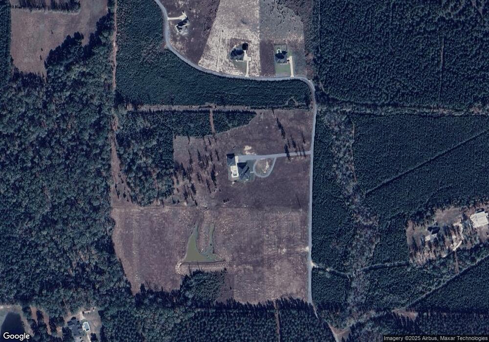
Map
Nearby Homes
- 40 acres Grant 65
- 694 Grant 65
- 415 Grant 167056
- 472 Grant 65
- 419 Grant 167056
- 0 Grant 167056 Unit 17034855
- 421 Grant 167056
- 270 Grant 167056
- 449 Grant 167056
- 173 Walker Dr
- 236 Grant 167056
- 210 Grant 167056
- 237 Grant 167056
- 329 Grant 167054
- 326 Grant 167054
- 142 Grant 167056
- 66 Grant 167056
- 0 Walker Drive (Tract B) Unit 20034210
- 0 Walker Drive (Tract A) Unit 20034209
- 100 Walker Dr