Estimated Value: $346,000 - $976,000
3
Beds
1
Bath
1,416
Sq Ft
$486/Sq Ft
Est. Value
About This Home
This home is located at 880 Lower Hawthorne Trail, Cairo, GA 39828 and is currently estimated at $687,609, approximately $485 per square foot. 880 Lower Hawthorne Trail is a home.
Ownership History
Date
Name
Owned For
Owner Type
Purchase Details
Closed on
Mar 5, 2021
Sold by
Tschieder Matthew August
Bought by
Tschieder Matthew August and Weaver Catherine Sandon
Current Estimated Value
Purchase Details
Closed on
Feb 19, 2021
Sold by
Tschieder Matthew August
Bought by
Nonesuch Farm Llc
Purchase Details
Closed on
May 12, 2003
Bought by
Visconti Frank L Trustee
Purchase Details
Closed on
Feb 15, 1995
Sold by
O'Brien Timothy J
Bought by
Visconti Brandon Patrick
Purchase Details
Closed on
Apr 14, 1988
Bought by
O'Brien Timothy J
Create a Home Valuation Report for This Property
The Home Valuation Report is an in-depth analysis detailing your home's value as well as a comparison with similar homes in the area
Home Values in the Area
Average Home Value in this Area
Purchase History
| Date | Buyer | Sale Price | Title Company |
|---|---|---|---|
| Tschieder Matthew August | -- | -- | |
| Nonesuch Farm Llc | $637,500 | -- | |
| Nonesuch Farm Llc | $212,500 | -- | |
| Nonesuch Farm Llc | -- | -- | |
| Visconti Frank L Trustee | -- | -- | |
| Visconti Brandon Patrick | -- | -- | |
| O'Brien Timothy J | $195,000 | -- |
Source: Public Records
Tax History Compared to Growth
Tax History
| Year | Tax Paid | Tax Assessment Tax Assessment Total Assessment is a certain percentage of the fair market value that is determined by local assessors to be the total taxable value of land and additions on the property. | Land | Improvement |
|---|---|---|---|---|
| 2024 | $3,784 | $200,008 | $135,430 | $64,578 |
| 2023 | $2,795 | $173,838 | $138,301 | $35,537 |
| 2022 | $2,776 | $174,706 | $138,301 | $36,405 |
| 2021 | $5,379 | $174,184 | $137,779 | $36,405 |
| 2020 | $5,398 | $174,184 | $137,779 | $36,405 |
| 2019 | $5,398 | $174,184 | $137,779 | $36,405 |
| 2018 | $5,067 | $174,184 | $137,779 | $36,405 |
| 2017 | $4,823 | $174,184 | $137,779 | $36,405 |
| 2016 | $4,695 | $168,552 | $137,779 | $30,773 |
| 2015 | $4,638 | $168,552 | $137,779 | $30,773 |
| 2014 | -- | $168,552 | $137,779 | $30,773 |
| 2013 | -- | $165,674 | $137,779 | $27,895 |
Source: Public Records
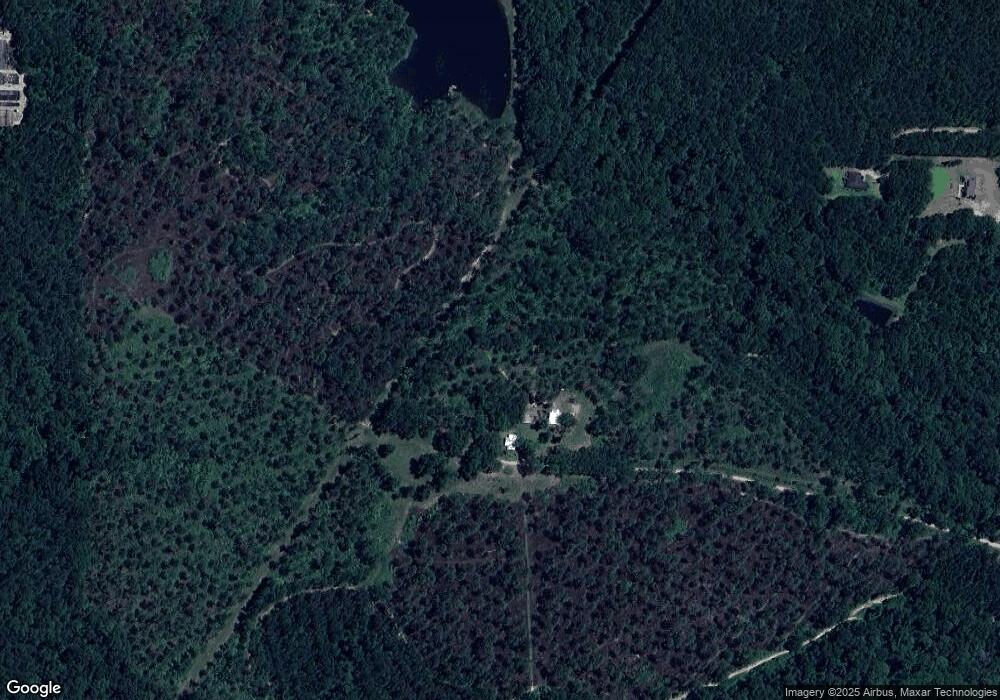
Map
Nearby Homes
- 000 Magnolia Dr NW
- 171 Council Ln
- 316 Faircloth Rd
- 00 Tired Creek Rd
- 4761 Hadley Ferry Road (428+ - Acres)
- 4103 Hadley Ferry Rd
- 7501 111 S
- 723 Providence Rd
- 1718 Old 179 S
- 1854 Lakewood Dr SE
- 1870 Oakdale Rd SE
- 1217 Pine Park Rd
- 130 17th Ave SE
- 140 Elderberry Ln
- 198 Oakdale Rd SE
- 786 Madison Ln
- 169 Rosencrantz Rd
- 75 14th Ave SE
- 109 Oriac Ave SW
- 1406 Platt Ave
- 3019 Ga Highway 111 S
- 111 S 111 Hwy S
- 3318 Ga Highway 111 S
- 3318 Georgia 111
- 429 Cranford Rd
- 310 Lower Hawthorne Trail
- 3324 Ga Highway 111 S
- 472 Cranford Rd
- 191 Lower Hawthorne Trail
- 3453 Ga Highway 111 S
- 3310 Ga Highway 111 S
- 327 Cranford Rd
- 305 Cranford Rd
- 273 Cranford Rd
- 281 Cranford Rd
- 269 Cranford Rd
- 297 Cranford Rd
- 263 Cranford Rd
- 345 Cranford Rd
- 366 Cranford Rd