880 Main St Dunstable, MA 01827
Estimated Value: $969,000 - $1,135,988
Studio
1
Bath
3,408
Sq Ft
$309/Sq Ft
Est. Value
About This Home
This home is located at 880 Main St, Dunstable, MA 01827 and is currently estimated at $1,051,747, approximately $308 per square foot. 880 Main St is a home with nearby schools including Groton Dunstable Regional High School and 2nd Nature Academy.
Create a Home Valuation Report for This Property
The Home Valuation Report is an in-depth analysis detailing your home's value as well as a comparison with similar homes in the area
Home Values in the Area
Average Home Value in this Area
Tax History
| Year | Tax Paid | Tax Assessment Tax Assessment Total Assessment is a certain percentage of the fair market value that is determined by local assessors to be the total taxable value of land and additions on the property. | Land | Improvement |
|---|---|---|---|---|
| 2025 | $13,863 | $1,008,200 | $254,000 | $754,200 |
| 2024 | $13,185 | $944,500 | $228,400 | $716,100 |
| 2023 | $12,998 | $868,300 | $228,400 | $639,900 |
| 2022 | $11,724 | $768,800 | $228,400 | $540,400 |
| 2021 | $11,709 | $713,500 | $207,400 | $506,100 |
| 2020 | $2,282 | $692,700 | $207,400 | $485,300 |
| 2019 | $11,328 | $664,000 | $207,400 | $456,600 |
| 2018 | $196 | $625,700 | $202,800 | $422,900 |
| 2017 | $2,075 | $619,600 | $202,800 | $416,800 |
| 2016 | $10,125 | $611,800 | $194,600 | $417,200 |
| 2015 | $9,949 | $594,700 | $166,900 | $427,800 |
| 2014 | $9,517 | $603,500 | $166,900 | $436,600 |
Source: Public Records
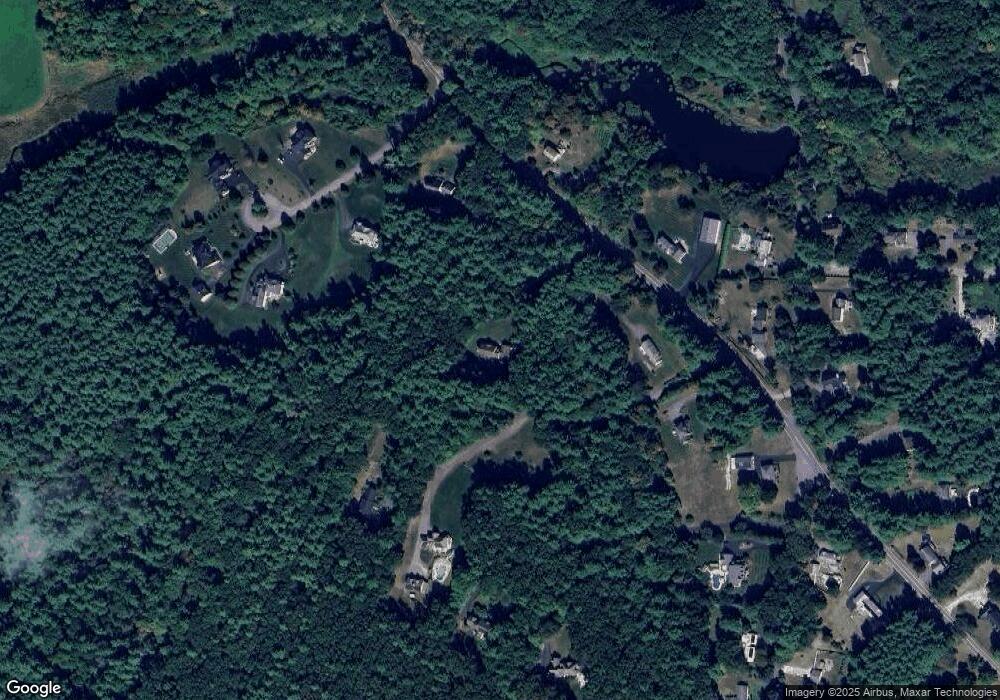
Map
Nearby Homes
- 62 Brook St
- 319 Pleasant St
- 121 Cherrywood Dr
- 1 Doucet Ave
- 77 Wilderness Dr
- 7 Wilderness Dr
- 2 Wilderness Dr
- 1 Wilderness Dr
- 141 Ridge Rd
- 79 Wilderness Dr
- 58 Wilderness Dr
- 3 Wilderness Dr
- 4 Wilderness Dr
- 6 Wilderness Dr
- 57 Wilderness Dr
- 65 Wilderness Dr
- 59 Wilderness Dr
- 61 Wilderness Dr
- 4 Hikers Ln
- 8 Hikers Ln
Your Personal Tour Guide
Ask me questions while you tour the home.