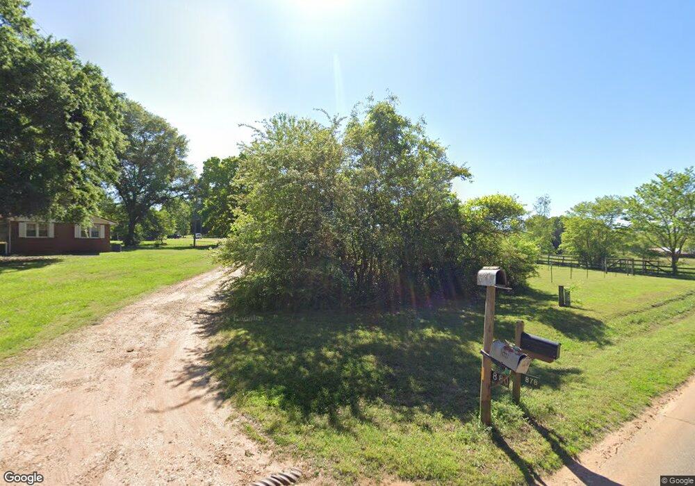
880 McDonald Cir Commerce, GA 30529
Estimated Value: $260,000 - $310,000
3
Beds
2
Baths
1,508
Sq Ft
$193/Sq Ft
Est. Value
About This Home
This home is located at 880 McDonald Cir, Commerce, GA 30529 and is currently estimated at $290,764, approximately $192 per square foot. 880 McDonald Cir is a home located in Banks County with nearby schools including Banks County Primary School, Banks County Elementary School, and Banks County Middle School.
Ownership History
Date
Name
Owned For
Owner Type
Purchase Details
Closed on
Mar 11, 2021
Sold by
Sanders Jimmie M
Bought by
Evans Kasey Hopper and Evans Gregory
Current Estimated Value
Purchase Details
Closed on
Feb 3, 2011
Sold by
Sanders Preston Ray
Bought by
Sanders Jimmie M
Purchase Details
Closed on
Dec 15, 2010
Sold by
Poole Janet
Bought by
Hopper Kasey
Purchase Details
Closed on
May 14, 2010
Sold by
Sanders Preston Ray
Bought by
Poole Janet Elaine and Poole Kelsey Nicole
Purchase Details
Closed on
Feb 14, 2008
Sold by
Coker Wayne
Bought by
Property Investors Llc
Create a Home Valuation Report for This Property
The Home Valuation Report is an in-depth analysis detailing your home's value as well as a comparison with similar homes in the area
Home Values in the Area
Average Home Value in this Area
Purchase History
| Date | Buyer | Sale Price | Title Company |
|---|---|---|---|
| Evans Kasey Hopper | -- | -- | |
| Sanders Jimmie M | -- | -- | |
| Hopper Kasey | -- | -- | |
| Poole Janet Elaine | -- | -- | |
| Property Investors Llc | $350,000 | -- |
Source: Public Records
Tax History Compared to Growth
Tax History
| Year | Tax Paid | Tax Assessment Tax Assessment Total Assessment is a certain percentage of the fair market value that is determined by local assessors to be the total taxable value of land and additions on the property. | Land | Improvement |
|---|---|---|---|---|
| 2025 | $1,896 | $99,308 | $19,786 | $79,522 |
| 2024 | $1,896 | $93,584 | $17,987 | $75,597 |
| 2023 | $1,457 | $71,582 | $15,346 | $56,236 |
| 2022 | $1,286 | $61,193 | $13,665 | $47,528 |
| 2021 | $751 | $53,594 | $9,998 | $43,596 |
| 2020 | $574 | $45,031 | $8,053 | $36,978 |
| 2019 | $577 | $45,031 | $8,053 | $36,978 |
| 2018 | $466 | $39,895 | $6,536 | $33,359 |
| 2017 | $478 | $39,566 | $5,684 | $33,882 |
| 2016 | $459 | $38,280 | $5,684 | $32,596 |
| 2015 | $520 | $38,279 | $5,684 | $32,596 |
| 2014 | $520 | $42,140 | $9,544 | $32,596 |
| 2013 | -- | $40,516 | $9,544 | $30,972 |
Source: Public Records
Map
Nearby Homes
- 20352 Highway 441 S
- 150 Harden Bridge Rd
- 297 Dodge Hill Rd
- 214 Cannon Creek
- 1570 Historic Homer Hwy
- 122 Cannon Creek
- 135 Horseshoe Trail
- 144 Chestnut Trail
- 189 Oakwood Dr
- 0 N Highway 441 Unit 10570307
- 390 Beck Farm Rd
- 0 Eisenhower Dr
- 0 McCoy Bridge Rd Unit 20148799
- 0 Steven B Tanger Blvd Unit 18091877
- 840 Haggard Rd
- 376 Athens St
- 0 Highway 98 Unit 10609064
- 1911 Ridgeway Church Rd
- 0 Georgia 98
- 606 Beck Rd
- 864 McDonald Cir
- 788 McDonald Cir
- 876 McDonald Cir
- 3 ACRE McDonald Cir
- 00 McDonald Cir
- 955 McDonald Cir
- 110 Rattle Trap Rd
- 144 Rattle Trap Rd
- 810 McDonald Cir
- 776 McDonald Cir
- 783 McDonald Cir
- 251 Rattle Trap Rd
- 0 Rose Ln Unit 8775228
- 0 Rose Ln Unit 8932849
- 0 Rose Ln Unit 8775227
- 01 Rose Ln
- 0 Rose Ln
- 712 McDonald Cir
- 156 Rose Ln
- 1078 McDonald Cir
