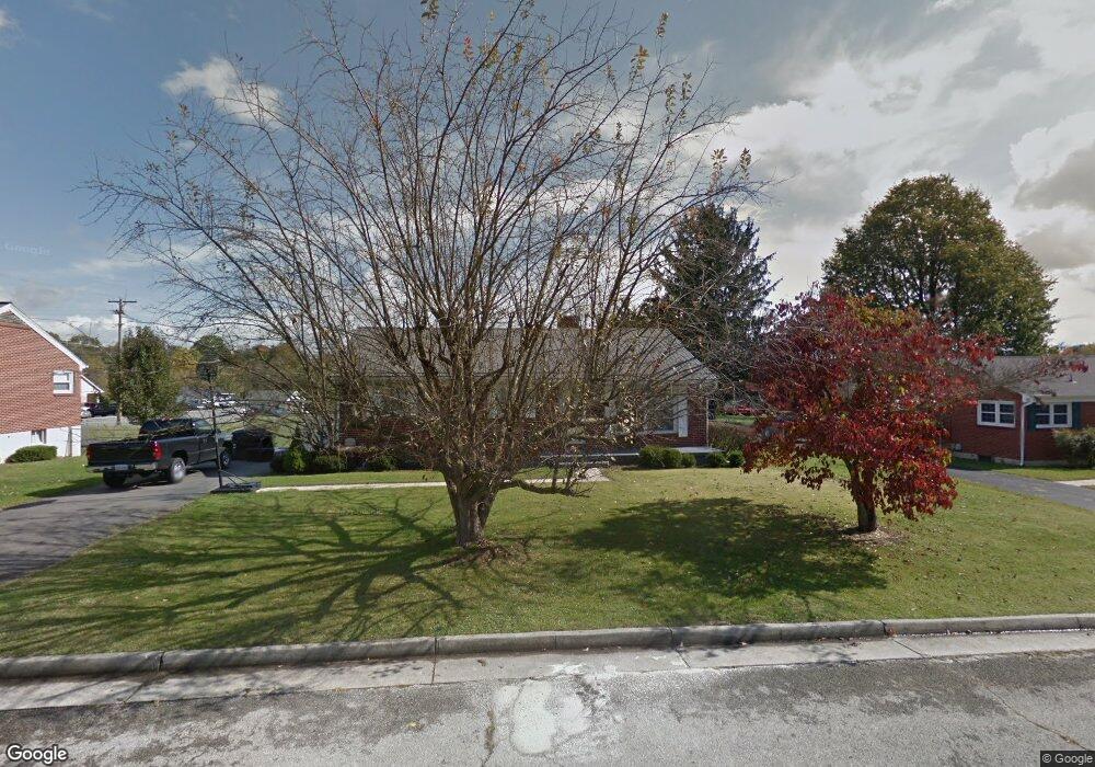
880 N 10th St Wytheville, VA 24382
Estimated Value: $242,000 - $338,000
4
Beds
2
Baths
2,200
Sq Ft
$131/Sq Ft
Est. Value
About This Home
This home is located at 880 N 10th St, Wytheville, VA 24382 and is currently estimated at $287,660, approximately $130 per square foot. 880 N 10th St is a home located in Wythe County with nearby schools including Spiller Elementary School, Scott Memorial Middle School, and George Wythe High School.
Ownership History
Date
Name
Owned For
Owner Type
Purchase Details
Closed on
Apr 29, 2021
Sold by
Schenenman Michael C and Schenenman Heather A
Bought by
Williams Patrick
Current Estimated Value
Home Financials for this Owner
Home Financials are based on the most recent Mortgage that was taken out on this home.
Original Mortgage
$223,500
Outstanding Balance
$202,230
Interest Rate
3%
Mortgage Type
Purchase Money Mortgage
Estimated Equity
$85,430
Purchase Details
Closed on
May 14, 2018
Sold by
Williams Patrick M and Williams Brittney M
Bought by
Scheneman Michael C and Scheneman Heather A
Purchase Details
Closed on
May 13, 2016
Sold by
Carter Melissa L
Bought by
Williams Patrick M and Williams Brittney M
Home Financials for this Owner
Home Financials are based on the most recent Mortgage that was taken out on this home.
Original Mortgage
$115,500
Interest Rate
3.71%
Mortgage Type
New Conventional
Create a Home Valuation Report for This Property
The Home Valuation Report is an in-depth analysis detailing your home's value as well as a comparison with similar homes in the area
Home Values in the Area
Average Home Value in this Area
Purchase History
| Date | Buyer | Sale Price | Title Company |
|---|---|---|---|
| Williams Patrick | $233,500 | New Century Title & Stlmnt | |
| Scheneman Michael C | $225,000 | Freedom Settlement Services | |
| Williams Patrick M | $154,000 | Freedom Settlement Services |
Source: Public Records
Mortgage History
| Date | Status | Borrower | Loan Amount |
|---|---|---|---|
| Open | Williams Patrick | $223,500 | |
| Previous Owner | Williams Patrick M | $115,500 |
Source: Public Records
Tax History Compared to Growth
Tax History
| Year | Tax Paid | Tax Assessment Tax Assessment Total Assessment is a certain percentage of the fair market value that is determined by local assessors to be the total taxable value of land and additions on the property. | Land | Improvement |
|---|---|---|---|---|
| 2024 | $1,002 | $196,400 | $42,000 | $154,400 |
| 2023 | $1,002 | $192,400 | $42,000 | $150,400 |
| 2022 | $1,002 | $196,400 | $42,000 | $154,400 |
| 2021 | $871 | $161,300 | $42,000 | $119,300 |
| 2020 | $871 | $161,300 | $42,000 | $119,300 |
| 2019 | $871 | $161,300 | $42,000 | $119,300 |
| 2018 | $871 | $161,300 | $42,000 | $119,300 |
| 2017 | $790 | $0 | $0 | $0 |
| 2016 | $647 | $0 | $0 | $0 |
| 2015 | -- | $132,000 | $0 | $0 |
| 2014 | -- | $0 | $0 | $0 |
| 2012 | -- | $0 | $0 | $0 |
Source: Public Records
Map
Nearby Homes
- 775 N 4th St
- 290 W Ridge St
- 615 N 4th St
- 630 W Pine St
- Allison Ln
- 430 W North St
- 920 W Spiller St
- 645 W North St
- 1045 Fisher Rd
- 1125 N 11th St
- 585 W Main St
- 200 Century Ct
- TBD Slate Springs Branch Rd
- 120 Tazewell St
- TBD Dry Gulch Rd
- 1255 W Spiller St
- tbd Century Ct
- 665 Mountain View Dr
- tbd Lot Remainder Parcel A Asbury Ln
- tbd W Main St