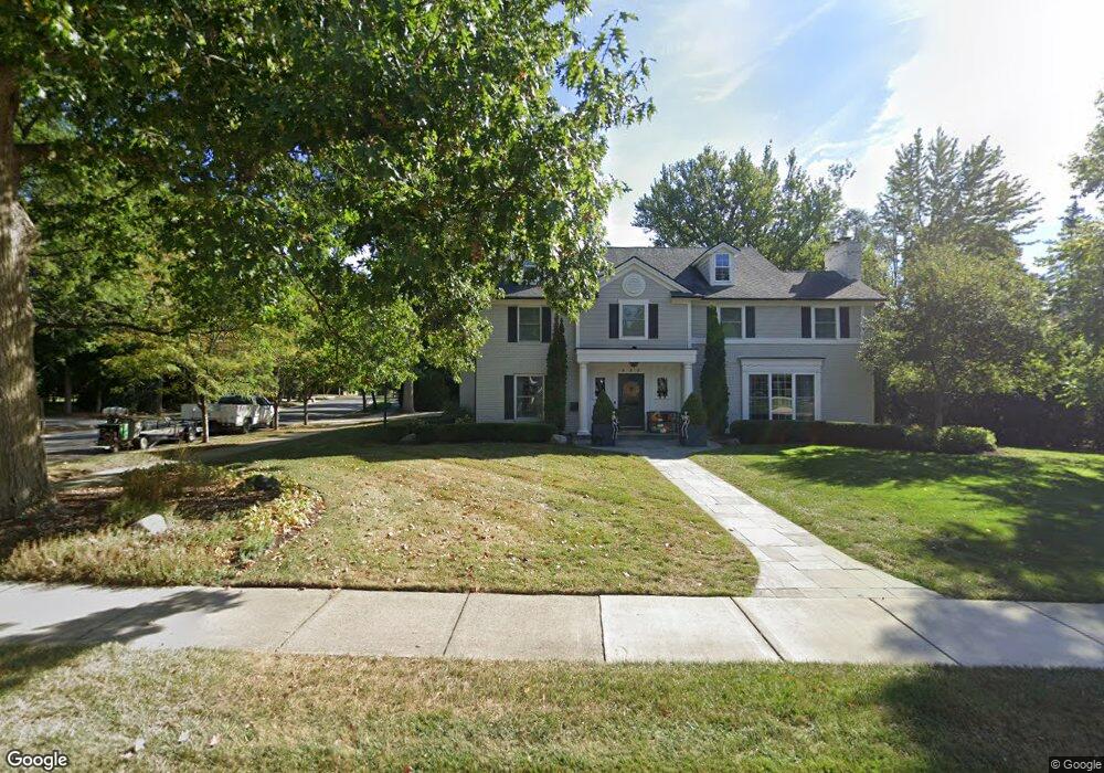
880 N Cranbrook Rd Bloomfield Hills, MI 48301
Estimated Value: $1,260,000 - $1,903,000
3
Beds
2
Baths
2,812
Sq Ft
$611/Sq Ft
Est. Value
About This Home
This home is located at 880 N Cranbrook Rd, Bloomfield Hills, MI 48301 and is currently estimated at $1,719,155, approximately $611 per square foot. 880 N Cranbrook Rd is a home located in Oakland County with nearby schools including Quarton Elementary, Derby Middle School, and Ernest W. Seaholm High School.
Ownership History
Date
Name
Owned For
Owner Type
Purchase Details
Closed on
May 20, 2011
Sold by
The Jerome E Hoffman Revocable Trust
Bought by
Lopez Peter P and Lopez Jeanne Marie
Current Estimated Value
Purchase Details
Closed on
Oct 7, 2009
Sold by
Hoffman Jerome E
Bought by
Hoffman Jerome E and The Jerome E Hoffman Revocable Trust
Create a Home Valuation Report for This Property
The Home Valuation Report is an in-depth analysis detailing your home's value as well as a comparison with similar homes in the area
Home Values in the Area
Average Home Value in this Area
Purchase History
| Date | Buyer | Sale Price | Title Company |
|---|---|---|---|
| Lopez Peter P | $360,000 | Capital Title Ins Agency | |
| Hoffman Jerome E | -- | None Available |
Source: Public Records
Tax History Compared to Growth
Tax History
| Year | Tax Paid | Tax Assessment Tax Assessment Total Assessment is a certain percentage of the fair market value that is determined by local assessors to be the total taxable value of land and additions on the property. | Land | Improvement |
|---|---|---|---|---|
| 2024 | $11,640 | $791,690 | $0 | $0 |
| 2023 | $11,170 | $700,370 | $0 | $0 |
| 2022 | $19,695 | $631,170 | $0 | $0 |
| 2021 | $19,858 | $663,140 | $0 | $0 |
| 2020 | $10,730 | $651,330 | $0 | $0 |
| 2019 | $19,798 | $639,570 | $0 | $0 |
| 2018 | $19,290 | $597,920 | $0 | $0 |
| 2017 | $19,290 | $557,770 | $0 | $0 |
| 2016 | $19,400 | $514,410 | $0 | $0 |
| 2015 | -- | $491,680 | $0 | $0 |
| 2014 | -- | $476,360 | $0 | $0 |
| 2011 | -- | $287,880 | $0 | $0 |
Source: Public Records
Map
Nearby Homes
- 1019 N Cranbrook Rd
- 956 Westwood Dr
- 2579 Amberly Rd
- 1882 Melbourne St
- 1120 Lyonhurst St
- 345 Kimberly St
- 1260 Lyonhurst St
- 1834 Fairview St
- 586 Fairfax St
- 120 Westchester Way
- 1056 Pilgrim Ave
- 394 S Glenhurst Dr
- 397 S Cranbrook Rd
- 222 Arlington St
- 100 Overhill Rd
- 375 Dunston Rd
- 421 S Williamsbury Rd
- 270 Martell Dr
- 1537 Ashford Ln
- 520 Pleasant St
- 830 N Cranbrook Rd
- 928 N Cranbrook Rd
- 873 N Cranbrook Rd
- 847 Waddington St
- 770 N Cranbrook Rd
- 770 N Cranbrook Rd
- 817 Waddington St
- 819 N Cranbrook Rd
- 875 Waddington St
- 927 N Cranbrook Rd
- 923 Waddington St Unit Bldg-Unit
- 923 Waddington St
- 733 N Cranbrook Rd
- 976 N Cranbrook Rd
- 736 N Cranbrook Rd
- 755 Waddington St
- 965 N Cranbrook Rd
- 880 Yarmouth Rd
- 852 Yarmouth Rd
- 971 Waddington St