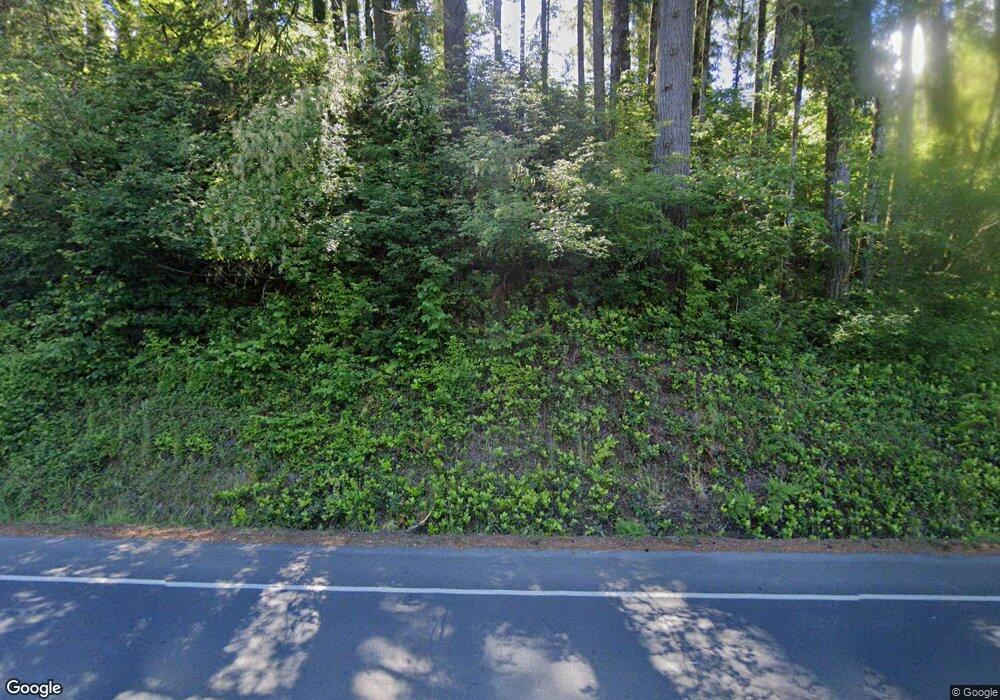
880 NE Sturdevant Rd Toledo, OR 97391
Estimated Value: $636,000 - $941,000
4
Beds
2
Baths
3,360
Sq Ft
$226/Sq Ft
Est. Value
About This Home
This home is located at 880 NE Sturdevant Rd, Toledo, OR 97391 and is currently estimated at $760,462, approximately $226 per square foot. 880 NE Sturdevant Rd is a home located in Lincoln County with nearby schools including Toledo Elementary School, Toledo Junior/Senior High School, and Abundant Life Academy.
Ownership History
Date
Name
Owned For
Owner Type
Purchase Details
Closed on
Sep 23, 2015
Sold by
Retherford Michael S and Retherford Kelley S
Bought by
Retherford Michael B and Retherford Tia M
Current Estimated Value
Home Financials for this Owner
Home Financials are based on the most recent Mortgage that was taken out on this home.
Original Mortgage
$288,750
Outstanding Balance
$111,827
Interest Rate
3.87%
Mortgage Type
Purchase Money Mortgage
Estimated Equity
$648,635
Create a Home Valuation Report for This Property
The Home Valuation Report is an in-depth analysis detailing your home's value as well as a comparison with similar homes in the area
Home Values in the Area
Average Home Value in this Area
Purchase History
| Date | Buyer | Sale Price | Title Company |
|---|---|---|---|
| Retherford Michael B | $385,000 | Western Title & Escrow |
Source: Public Records
Mortgage History
| Date | Status | Borrower | Loan Amount |
|---|---|---|---|
| Open | Retherford Michael B | $288,750 |
Source: Public Records
Tax History Compared to Growth
Tax History
| Year | Tax Paid | Tax Assessment Tax Assessment Total Assessment is a certain percentage of the fair market value that is determined by local assessors to be the total taxable value of land and additions on the property. | Land | Improvement |
|---|---|---|---|---|
| 2025 | $5,433 | $446,090 | -- | -- |
| 2024 | $5,158 | $433,100 | -- | -- |
| 2023 | $4,995 | $420,490 | $0 | $0 |
| 2022 | $4,842 | $408,250 | $0 | $0 |
| 2021 | $4,721 | $396,360 | $0 | $0 |
| 2020 | $4,630 | $384,820 | $0 | $0 |
| 2019 | $4,444 | $373,620 | $0 | $0 |
| 2018 | $4,366 | $362,740 | $0 | $0 |
| 2017 | $4,231 | $352,180 | $0 | $0 |
| 2016 | $3,760 | $341,930 | $0 | $0 |
| 2015 | $3,625 | $331,980 | $0 | $0 |
| 2014 | $3,529 | $322,320 | $0 | $0 |
| 2013 | -- | $312,940 | $0 | $0 |
Source: Public Records
Map
Nearby Homes
- 1270 NE Canyon Dr
- 935 NE Highway 20
- 1979 NE Mossy Loop
- 749 SE 2nd St
- 1572 NE Arcadia Dr
- 380 E Graham St
- 231 NE 6th St
- 490 SE Olson Rd
- 2303 NE Arcadia Dr Unit 2303
- 254 NE 3rd St
- 2075 NE Mossy Loop
- 810 SE Beaver St
- 163 NE 6th St
- 146 NE 6th St
- 492 SE 3rd St
- T/L 2303 NE Arcadia Dr Unit T/L 2300 NE ARCADIA
- 811 SE 7th Place
- 631 SE Elder St
- 177 NW 6th St Unit 4 Units, 1 ADU
- 1262 NW Meadow Ln
- 2000 NE Sturdevant Rd
- 828 NE Sturdevant Rd
- 824 NE Sturdevant Rd
- 750 NE Sturdevant Rd
- 755 NE Sturdevant Rd
- 830 NE Sturdevant Rd
- 650 NE Sturdevant Rd
- 550 NE Sturdevant Rd
- 1266 NE Sturdevant Rd
- 820 NE Meadow Hill Dr
- 810 NE Meadow Hill Dr
- 420 NE Sturdevant Rd
- 600 NE East Slope Rd
- 1103 NE Canyon Dr
- 800 NE Ridge Dr
- 350 NE Sturdevant Rd
- 1105 NE Canyon Dr
- 1106 NE Canyon Dr
- 811 NE Meadow Hill Dr
- 1110 NE Canyon Dr
