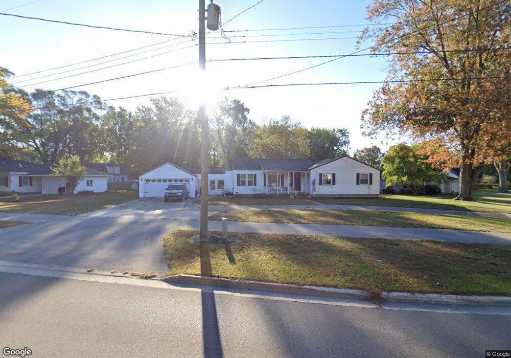
880 Paw Paw Dr Holland, MI 49423
Holland Heights NeighborhoodEstimated Value: $317,532 - $333,000
4
Beds
3
Baths
1,394
Sq Ft
$233/Sq Ft
Est. Value
About This Home
This home is located at 880 Paw Paw Dr, Holland, MI 49423 and is currently estimated at $325,383, approximately $233 per square foot. 880 Paw Paw Dr is a home located in Ottawa County with nearby schools including Holland Heights Elementary, Maplewood, and Holland High School.
Ownership History
Date
Name
Owned For
Owner Type
Purchase Details
Closed on
Aug 19, 2024
Sold by
Brink Brittany Lorraine
Bought by
Brink Caleb Donald
Current Estimated Value
Purchase Details
Closed on
Mar 4, 2016
Sold by
Vander Zwaag Rentals Llc
Bought by
Brink Caleb
Home Financials for this Owner
Home Financials are based on the most recent Mortgage that was taken out on this home.
Original Mortgage
$128,113
Interest Rate
3.81%
Mortgage Type
FHA
Purchase Details
Closed on
Oct 16, 2015
Sold by
Leal Julian and Leal Ana R
Bought by
Vander Zwaag Rentals Llc
Purchase Details
Closed on
Jan 5, 2014
Sold by
Leal Julian and Leal Ana R
Bought by
Leal Julian and Leal Ana R
Home Financials for this Owner
Home Financials are based on the most recent Mortgage that was taken out on this home.
Original Mortgage
$92,896
Interest Rate
4.31%
Mortgage Type
FHA
Purchase Details
Closed on
Aug 4, 2000
Sold by
Cleghorn Hershell Roy
Bought by
Leal Julian J
Purchase Details
Closed on
Feb 15, 1978
Sold by
Cleghorn Hershell Ro
Create a Home Valuation Report for This Property
The Home Valuation Report is an in-depth analysis detailing your home's value as well as a comparison with similar homes in the area
Home Values in the Area
Average Home Value in this Area
Purchase History
| Date | Buyer | Sale Price | Title Company |
|---|---|---|---|
| Brink Caleb Donald | -- | None Listed On Document | |
| Brink Caleb | $139,900 | None Available | |
| Vander Zwaag Rentals Llc | -- | Attorney | |
| Leal Julian | -- | Title Source Inc | |
| Leal Julian J | $113,000 | -- | |
| -- | $33,800 | -- |
Source: Public Records
Mortgage History
| Date | Status | Borrower | Loan Amount |
|---|---|---|---|
| Previous Owner | Brink Caleb | $128,113 | |
| Previous Owner | Leal Julian | $92,896 |
Source: Public Records
Tax History Compared to Growth
Tax History
| Year | Tax Paid | Tax Assessment Tax Assessment Total Assessment is a certain percentage of the fair market value that is determined by local assessors to be the total taxable value of land and additions on the property. | Land | Improvement |
|---|---|---|---|---|
| 2025 | $3,370 | $138,400 | $0 | $0 |
| 2024 | $3,251 | $129,300 | $0 | $0 |
| 2023 | $3,134 | $106,100 | $0 | $0 |
| 2022 | $2,993 | $103,600 | $0 | $0 |
| 2021 | $2,858 | $99,900 | $0 | $0 |
| 2020 | $2,853 | $89,300 | $0 | $0 |
| 2019 | $2,876 | $73,500 | $0 | $0 |
| 2018 | $2,707 | $63,400 | $0 | $0 |
| 2017 | $2,627 | $63,400 | $0 | $0 |
| 2016 | $2,627 | $62,900 | $0 | $0 |
| 2015 | $2,106 | $57,700 | $0 | $0 |
| 2014 | $2,106 | $54,700 | $0 | $0 |
Source: Public Records
Map
Nearby Homes
- 1078 Lynden Rd
- 239 S Waverly Rd
- 1101 Lynden Rd
- VL-0 120th Ave
- 403 Stratford Way
- VL 120th Ave
- 1214 Euna Vista Dr
- 160 Sorrento Dr
- 499 E 8th St
- 1391 Quarterline Commons
- 866 E 24th St Unit Parcel A
- 551 Century Ln
- 541 Century Ln
- 561 Century Ln
- 442 120th Ave
- 271 E 16th St
- 955 Kenwood Dr
- 0 N V L 120th
- 12274 James St
- 333 E Lakewood Blvd Unit 209
- 880 Paw Dr
- 890 Paw Dr
- 890 Paw Paw Dr
- 118 Cambridge Ave
- 112 Cambridge Ave
- 122 Cambridge Ave
- 883 Paw Paw Dr
- 898 Paw Paw Dr
- 867 Paw Paw Dr
- 867 Paw Paw Dr
- 126 Cambridge Ave
- 862 Paw Paw Dr
- 139 Dartmouth Ave
- 862 Paw Dr
- 130 Cambridge Ave
- 130 Dartmouth Ave
- 136 Cambridge Ave
- 143 Dartmouth Ave
- 860 Paw Dr
- 860 Paw Paw Dr