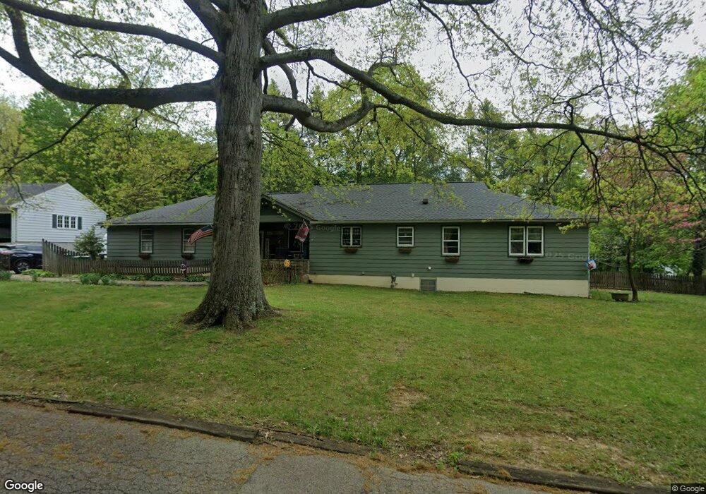
880 Sheridan Rd Coshocton, OH 43812
Estimated Value: $113,000 - $700,000
3
Beds
3
Baths
--
Sq Ft
0.59
Acres
About This Home
This home is located at 880 Sheridan Rd, Coshocton, OH 43812 and is currently estimated at $310,667. 880 Sheridan Rd is a home located in Coshocton County with nearby schools including Coshocton High School, Coshocton Opportunity School, and Sacred Heart School.
Ownership History
Date
Name
Owned For
Owner Type
Purchase Details
Closed on
May 25, 2023
Sold by
Clark Mark H
Bought by
Clark Mark H and Clark Lisa R
Current Estimated Value
Home Financials for this Owner
Home Financials are based on the most recent Mortgage that was taken out on this home.
Original Mortgage
$101,000
Outstanding Balance
$90,366
Interest Rate
5.71%
Mortgage Type
New Conventional
Estimated Equity
$220,301
Purchase Details
Closed on
Apr 19, 1999
Sold by
Paulus Werner K
Bought by
Clark Mark H
Create a Home Valuation Report for This Property
The Home Valuation Report is an in-depth analysis detailing your home's value as well as a comparison with similar homes in the area
Home Values in the Area
Average Home Value in this Area
Purchase History
| Date | Buyer | Sale Price | Title Company |
|---|---|---|---|
| Clark Mark H | -- | Title 365 | |
| Clark Mark H | -- | Title 365 | |
| Clark Mark H | $110,000 | -- |
Source: Public Records
Mortgage History
| Date | Status | Borrower | Loan Amount |
|---|---|---|---|
| Open | Clark Mark H | $101,000 | |
| Closed | Clark Mark H | $101,000 |
Source: Public Records
Tax History Compared to Growth
Tax History
| Year | Tax Paid | Tax Assessment Tax Assessment Total Assessment is a certain percentage of the fair market value that is determined by local assessors to be the total taxable value of land and additions on the property. | Land | Improvement |
|---|---|---|---|---|
| 2024 | $173 | $4,040 | $4,040 | $0 |
| 2023 | $173 | $3,105 | $3,105 | $0 |
| 2022 | $151 | $3,105 | $3,105 | $0 |
| 2021 | $151 | $3,105 | $3,105 | $0 |
| 2020 | $158 | $3,140 | $3,140 | $0 |
| 2019 | $160 | $3,140 | $3,140 | $0 |
| 2018 | $151 | $3,140 | $3,140 | $0 |
| 2017 | $147 | $2,797 | $2,797 | $0 |
| 2016 | $141 | $2,797 | $2,797 | $0 |
| 2015 | $71 | $2,797 | $2,797 | $0 |
| 2014 | $130 | $2,797 | $2,797 | $0 |
Source: Public Records
Map
Nearby Homes
- 0 Ohio 541
- Lot 2 Country Club Dr
- Lot 1 Country Club Dr
- Lot 5 Country Club Dr
- Lot 4 Country Club Dr
- Lot 3 Country Club Dr
- Lot 6 Country Club Dr
- 1720 Buena Vista Dr
- Lot 7 Country Club Dr
- 1759 Buena Vista Dr
- 1333 Kenilworth Ave
- Lot 8 Country Club Dr
- 1681 Knob Hill Dr
- 1660 Knob Hill Dr
- 1673 Flint Ln
- 1680 Bow Ln
- 2196 Fulton Dr
- 1693 Bayberry Ln
- 1521 Elm St
- Lot# 7, S 12th St
- 870 Sheridan Rd
- 850 Sheridan Rd
- 905 Kensington Rd
- 895 Kensington Rd
- 885 Sheridan Rd
- 875 Kensington Rd
- 845 Kensington Rd
- 910 Sheridan Rd
- 925 Kensington Rd
- 855 Sheridan Rd
- 935 Kensington Rd
- 906 Kensington Rd
- 880 Kensington Rd
- 945 Kensington Rd
- 925 Sheridan Rd
- 815 Sheridan Rd
- 955 Kensington Rd
- 870 Concord Place
- 920 Kensington Rd
- 840 Concord Place