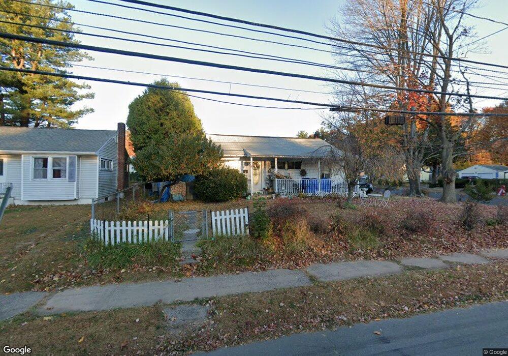
880 Slater Rd New Britain, CT 06053
Estimated Value: $280,653 - $313,000
3
Beds
2
Baths
1,139
Sq Ft
$260/Sq Ft
Est. Value
About This Home
This home is located at 880 Slater Rd, New Britain, CT 06053 and is currently estimated at $296,163, approximately $260 per square foot. 880 Slater Rd is a home located in Hartford County with nearby schools including Gaffney School, Pulaski Middle School, and St. Francis of Assisi Middle School.
Ownership History
Date
Name
Owned For
Owner Type
Purchase Details
Closed on
Jun 28, 2013
Sold by
Torres Isreal
Bought by
Torres Maria A
Current Estimated Value
Purchase Details
Closed on
Jun 28, 2000
Sold by
Bukowski Stanislaw and Bukowski Bogumila
Bought by
Torres Israel and Torres Maria
Create a Home Valuation Report for This Property
The Home Valuation Report is an in-depth analysis detailing your home's value as well as a comparison with similar homes in the area
Home Values in the Area
Average Home Value in this Area
Purchase History
| Date | Buyer | Sale Price | Title Company |
|---|---|---|---|
| Torres Maria A | -- | -- | |
| Torres Israel | $95,000 | -- |
Source: Public Records
Mortgage History
| Date | Status | Borrower | Loan Amount |
|---|---|---|---|
| Previous Owner | Torres Israel | $157,500 | |
| Previous Owner | Torres Israel | $25,000 | |
| Previous Owner | Torres Israel | $124,900 | |
| Previous Owner | Torres Israel | $97,800 |
Source: Public Records
Tax History Compared to Growth
Tax History
| Year | Tax Paid | Tax Assessment Tax Assessment Total Assessment is a certain percentage of the fair market value that is determined by local assessors to be the total taxable value of land and additions on the property. | Land | Improvement |
|---|---|---|---|---|
| 2025 | $4,923 | $125,650 | $41,720 | $83,930 |
| 2024 | $4,974 | $125,650 | $41,720 | $83,930 |
| 2023 | $4,810 | $125,650 | $41,720 | $83,930 |
| 2022 | $4,307 | $87,010 | $17,570 | $69,440 |
| 2021 | $4,307 | $87,010 | $17,570 | $69,440 |
| 2020 | $4,394 | $87,010 | $17,570 | $69,440 |
| 2019 | $4,394 | $87,010 | $17,570 | $69,440 |
| 2018 | $4,394 | $87,010 | $17,570 | $69,440 |
| 2017 | $4,412 | $87,360 | $17,570 | $69,790 |
| 2016 | $4,412 | $87,360 | $17,570 | $69,790 |
| 2015 | $4,281 | $87,360 | $17,570 | $69,790 |
| 2014 | $4,281 | $87,360 | $17,570 | $69,790 |
Source: Public Records
Map
Nearby Homes
- 55 Horseplain Rd
- 95 Pierremount Ave
- 59 Heather Ln
- 148 Governor St
- 234 Pierremount Ave
- 67 Eastwick Rd
- 101 Maplehurst Ave
- 251 Pershing Ave
- 410 Farmington Ave Unit O6
- 410 Farmington Ave Unit H1
- 34 Hutchinson St
- 87 Pinehurst Ave
- 230 Hillhurst Ave
- 151 Sterling St
- 394 Mcclintock St
- 38 Brown St
- 19 Hayes St
- 140 Lewis Rd
- 42 Fairlane Dr
- 8 Albany Ave