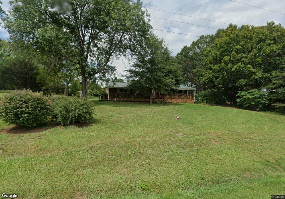
880 Sloan Rd Mount Ulla, NC 28125
Estimated Value: $327,000 - $1,157,000
--
Bed
1
Bath
1,705
Sq Ft
$360/Sq Ft
Est. Value
About This Home
This home is located at 880 Sloan Rd, Mount Ulla, NC 28125 and is currently estimated at $614,141, approximately $360 per square foot. 880 Sloan Rd is a home located in Rowan County with nearby schools including Mount Ulla Elementary School, West Rowan Middle School, and West Rowan High School.
Ownership History
Date
Name
Owned For
Owner Type
Purchase Details
Closed on
Jan 6, 2009
Sold by
Caldwell Mary Havner
Bought by
Havner Glenn Steven and Havner Janice B
Current Estimated Value
Home Financials for this Owner
Home Financials are based on the most recent Mortgage that was taken out on this home.
Original Mortgage
$112,000
Interest Rate
5.14%
Mortgage Type
Seller Take Back
Create a Home Valuation Report for This Property
The Home Valuation Report is an in-depth analysis detailing your home's value as well as a comparison with similar homes in the area
Home Values in the Area
Average Home Value in this Area
Purchase History
| Date | Buyer | Sale Price | Title Company |
|---|---|---|---|
| Havner Glenn Steven | -- | None Available |
Source: Public Records
Mortgage History
| Date | Status | Borrower | Loan Amount |
|---|---|---|---|
| Closed | Havner Glenn Steven | $112,000 |
Source: Public Records
Tax History Compared to Growth
Tax History
| Year | Tax Paid | Tax Assessment Tax Assessment Total Assessment is a certain percentage of the fair market value that is determined by local assessors to be the total taxable value of land and additions on the property. | Land | Improvement |
|---|---|---|---|---|
| 2025 | $1,494 | $220,494 | $52,800 | $167,694 |
| 2024 | $1,494 | $220,494 | $52,800 | $167,694 |
| 2023 | $1,494 | $220,494 | $52,800 | $167,694 |
| 2022 | $1,141 | $151,128 | $43,460 | $107,668 |
| 2021 | $1,130 | $151,128 | $43,460 | $107,668 |
| 2020 | $1,130 | $151,128 | $43,460 | $107,668 |
| 2019 | $1,130 | $151,128 | $43,460 | $107,668 |
| 2018 | $1,004 | $343,559 | $251,508 | $92,051 |
| 2017 | $1,004 | $343,559 | $251,508 | $92,051 |
| 2016 | $1,004 | $343,559 | $251,508 | $92,051 |
| 2015 | $1,016 | $343,559 | $251,508 | $92,051 |
| 2014 | $1,000 | $347,923 | $251,508 | $96,415 |
Source: Public Records
Map
Nearby Homes
- 3D Sloan Rd
- 1045 Castle Mill Ln Unit 38
- 210 Goldenrod Cir
- 611 Davis Farm Dr
- 1110 Coppergate Dr
- 1120 Coppergate Dr
- 7245 Mooresville Rd
- 1160 Coppergate Dr
- 1030 Stonegate Dr
- 1150 Coppergate Dr
- 203 Trinity Ct
- 1033 Stonegate Dr
- 1240 Coppergate Dr
- 720 Cricket Ln
- Azalea II Plan at Yorkshire Farms
- Daffodil Plan at Yorkshire Farms
- 1280 Coppergate Dr
- 1213 Stonegate Dr
- 4860 Patterson Rd
- 1335 Coppergate Dr
- 969 Sloan Rd
- 975 Sloan Rd
- 691 Sloan Rd
- 1005 Sloan Rd
- 3 B&C Sloan Rd
- 9950 Mooresville Rd
- 418 Kerr Mill Rd
- 0 Mooresville Hwy Unit 737604
- 9815 Mooresville Rd
- 9445 Mooresville Rd
- 300 Sloan Rd
- 260 Sloan Rd
- 145 Round Tuit Ln
- 130 Round Tuit Ln
- 135 Round Tuit Ln
- 135 Round Tuit Ln Unit 7
- 0 Round Tuit Ln
- 9311 Mooresville Rd
- 9845 Mooresville Rd
- 1320 Sloan Rd