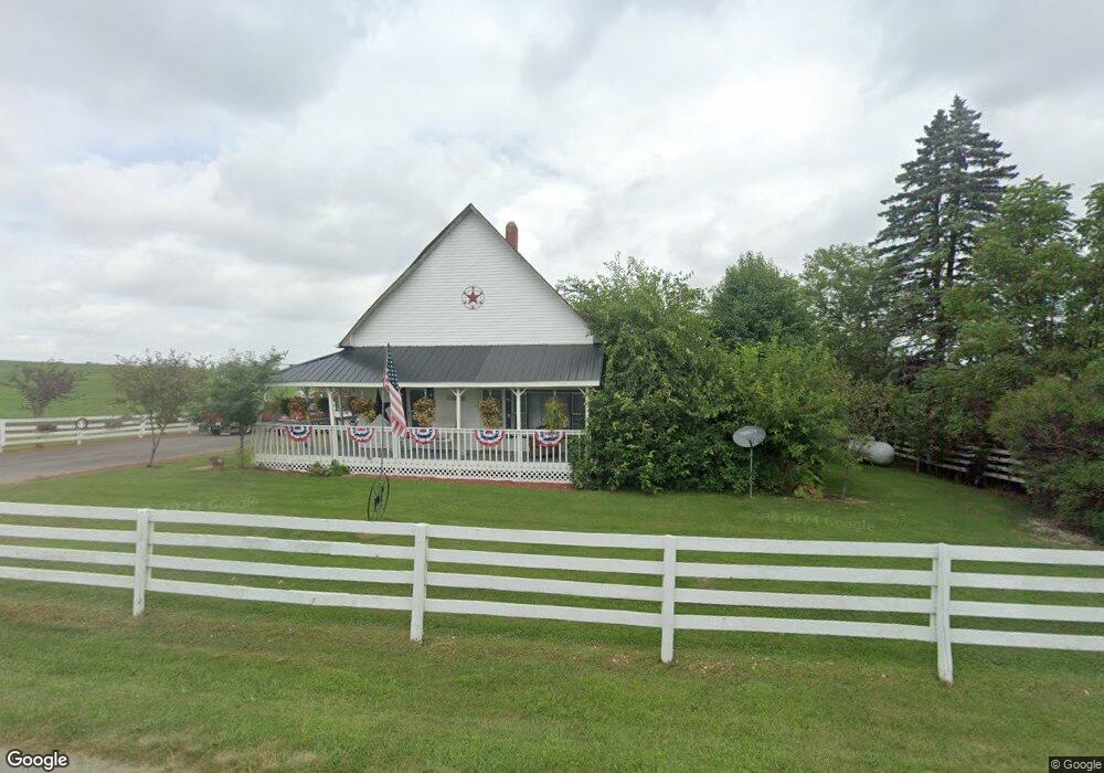
8800 Austin Rd Montgomery, MI 49255
Estimated Value: $91,354 - $310,000
--
Bed
--
Bath
1,100
Sq Ft
$171/Sq Ft
Est. Value
About This Home
This home is located at 8800 Austin Rd, Montgomery, MI 49255 and is currently estimated at $188,089, approximately $170 per square foot. 8800 Austin Rd is a home with nearby schools including Camden-Frontier K-8 School and Camden-Frontier High School.
Ownership History
Date
Name
Owned For
Owner Type
Purchase Details
Closed on
Jun 12, 2019
Sold by
Wendorf Sherry L E
Bought by
Hughes Keith Eugene
Current Estimated Value
Purchase Details
Closed on
Feb 16, 2016
Sold by
Kuster Terry L
Bought by
Wendorf Sherry Lee
Purchase Details
Closed on
Sep 7, 2005
Sold by
Vanaken Larry L
Bought by
Kuster Terry L
Home Financials for this Owner
Home Financials are based on the most recent Mortgage that was taken out on this home.
Original Mortgage
$100,000
Interest Rate
5.89%
Mortgage Type
Unknown
Create a Home Valuation Report for This Property
The Home Valuation Report is an in-depth analysis detailing your home's value as well as a comparison with similar homes in the area
Home Values in the Area
Average Home Value in this Area
Purchase History
| Date | Buyer | Sale Price | Title Company |
|---|---|---|---|
| Hughes Keith Eugene | -- | None Available | |
| Wendorf Sherry Lee | $20,100 | Attorney | |
| Kuster Terry L | $122,000 | Public Title Agency |
Source: Public Records
Mortgage History
| Date | Status | Borrower | Loan Amount |
|---|---|---|---|
| Previous Owner | Kuster Terry L | $100,000 | |
| Closed | Wendorf Sherry Lee | $0 |
Source: Public Records
Tax History Compared to Growth
Tax History
| Year | Tax Paid | Tax Assessment Tax Assessment Total Assessment is a certain percentage of the fair market value that is determined by local assessors to be the total taxable value of land and additions on the property. | Land | Improvement |
|---|---|---|---|---|
| 2025 | $714 | $35,100 | $0 | $0 |
| 2024 | $184 | $37,600 | $0 | $0 |
| 2023 | $175 | $33,200 | $0 | $0 |
| 2022 | $644 | $27,600 | $0 | $0 |
| 2021 | $628 | $23,200 | $0 | $0 |
| 2020 | $633 | $21,500 | $0 | $0 |
| 2019 | $608 | $19,100 | $0 | $0 |
| 2018 | $590 | $13,900 | $0 | $0 |
| 2017 | $628 | $14,850 | $0 | $0 |
| 2016 | $574 | $14,040 | $0 | $0 |
| 2015 | $154 | $14,040 | $0 | $0 |
| 2013 | $150 | $13,990 | $0 | $0 |
| 2012 | $147 | $13,390 | $0 | $0 |
Source: Public Records
Map
Nearby Homes
- 9874 Highland Dr
- 9911 Lake Dr
- 9677 W Camden Rd
- 12208 Maple St
- 202 W Bell St
- 423 Fairview Ave
- 214 Miller St
- 8833 W Territorial Rd
- 116 Chapel Avenue Clear Lake
- 115 N Michigan St
- 35 John Ct
- 120 Sunset Bay Ct
- 18405 County Road 2-50
- 7950 E 400 N
- 5050 N 725 E
- 8800 W Territorial Rd
- 0 W Territorial Rd Unit 25043960
- 15791 Rice Rd
- 17930 County Road 1 50
- 6780 E 500 N