8800 Interstate 20 Millsap, TX 76066
Estimated Value: $540,000
--
Bed
--
Bath
--
Sq Ft
10
Acres
About This Home
This home is located at 8800 Interstate 20, Millsap, TX 76066 and is currently estimated at $540,000. 8800 Interstate 20 is a home located in Parker County with nearby schools including Millsap Elementary School, Millsap Middle School, and Millsap High School.
Ownership History
Date
Name
Owned For
Owner Type
Purchase Details
Closed on
Feb 28, 2014
Sold by
Cross Tom L and Cross Sylvia I
Bought by
Cole Family Trust
Current Estimated Value
Purchase Details
Closed on
May 28, 2010
Sold by
Sharp Jerry L and Sharp Jean H
Bought by
Cross Tom L and Cross Sylvia I
Home Financials for this Owner
Home Financials are based on the most recent Mortgage that was taken out on this home.
Original Mortgage
$47,000
Interest Rate
5%
Mortgage Type
Future Advance Clause Open End Mortgage
Purchase Details
Closed on
Aug 10, 1993
Bought by
Cole Family Trust
Purchase Details
Closed on
Jun 30, 1982
Bought by
Cole Family Trust
Create a Home Valuation Report for This Property
The Home Valuation Report is an in-depth analysis detailing your home's value as well as a comparison with similar homes in the area
Home Values in the Area
Average Home Value in this Area
Purchase History
| Date | Buyer | Sale Price | Title Company |
|---|---|---|---|
| Cole Family Trust | -- | -- | |
| Cole Edwin L | -- | Providence Title Company | |
| Cross Tom L | -- | Stnt | |
| Cole Family Trust | -- | -- | |
| Cole Family Trust | -- | -- |
Source: Public Records
Mortgage History
| Date | Status | Borrower | Loan Amount |
|---|---|---|---|
| Previous Owner | Cross Tom L | $47,000 |
Source: Public Records
Tax History Compared to Growth
Tax History
| Year | Tax Paid | Tax Assessment Tax Assessment Total Assessment is a certain percentage of the fair market value that is determined by local assessors to be the total taxable value of land and additions on the property. | Land | Improvement |
|---|---|---|---|---|
| 2025 | $10 | $720 | $720 | -- |
| 2024 | $10 | $610 | $610 | -- |
| 2023 | $10 | $650 | $650 | $0 |
| 2022 | $13 | $105,000 | $0 | $0 |
| 2021 | $14 | $105,000 | $0 | $0 |
| 2020 | $16 | $78,000 | $0 | $0 |
| 2019 | $17 | $78,000 | $0 | $0 |
| 2018 | $18 | $50,000 | $0 | $0 |
| 2017 | $18 | $50,000 | $0 | $0 |
| 2016 | $18 | $42,000 | $0 | $0 |
| 2015 | $17 | $42,000 | $0 | $0 |
| 2014 | $1,631 | $68,120 | $68,000 | $120 |
Source: Public Records
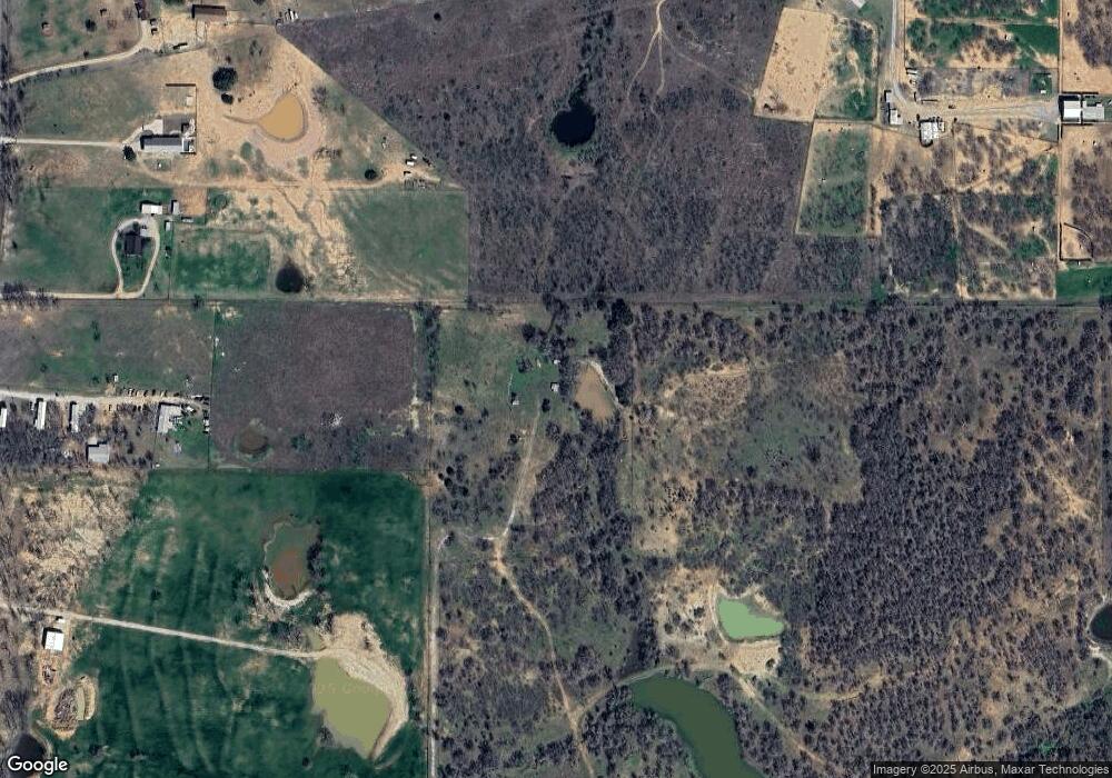
Map
Nearby Homes
- 6427 S Fm Rd 113
- 5288 Bennett Rd
- 4962 S Fm 113
- 1350 Stephens Rd
- 251 Tumbleweed Ct
- TBD Consolation
- 711 Brannon Bridge Cir
- TBD Wolf Hollow
- 2350 Grindstone Rd
- 555 Sunset Trail
- 101 Consolation Dr
- Farm To Market 113
- 3499 S Fm 113
- 940 Brazos Rock Rd
- 7530 W Interstate 20
- XXXX Wolf Hollow
- 3810 Fairview Rd
- 430 Rio Rd
- 401 Brock Spur
- TBD B Consolation Dr