8800 Spore St St Update, MI 49096
Estimated Value: $120,417 - $196,000
2
Beds
1
Bath
780
Sq Ft
$198/Sq Ft
Est. Value
About This Home
This home is located at 8800 Spore St St, Update, MI 49096 and is currently estimated at $154,604, approximately $198 per square foot. 8800 Spore St St is a home located in Eaton County with nearby schools including Bellevue Elementary School and Bellevue Junior/Senior High School.
Ownership History
Date
Name
Owned For
Owner Type
Purchase Details
Closed on
Aug 2, 2018
Sold by
Mae Danne and Federal Natinal Mortgage Assoc
Bought by
Meade Tesla
Current Estimated Value
Purchase Details
Closed on
Jul 20, 2017
Sold by
Forest Randy and Forest Marie L
Bought by
Federal National Mortgage Association
Purchase Details
Closed on
Jul 7, 2005
Sold by
Wyble Thomas J and Wyble Kristine K
Bought by
Forest Randall A and Forest Marie L
Home Financials for this Owner
Home Financials are based on the most recent Mortgage that was taken out on this home.
Original Mortgage
$87,000
Interest Rate
8.25%
Mortgage Type
Stand Alone First
Purchase Details
Closed on
Mar 10, 2005
Sold by
Wyble Thomas J and Wyble Kristine K
Bought by
Wyble Thomas J and Wyble Kristine K
Create a Home Valuation Report for This Property
The Home Valuation Report is an in-depth analysis detailing your home's value as well as a comparison with similar homes in the area
Home Values in the Area
Average Home Value in this Area
Purchase History
| Date | Buyer | Sale Price | Title Company |
|---|---|---|---|
| Meade Tesla | -- | None Available | |
| Federal National Mortgage Association | -- | Attorney | |
| Forest Randall A | $87,000 | Midstate Title | |
| Wyble Thomas J | -- | Midstate |
Source: Public Records
Mortgage History
| Date | Status | Borrower | Loan Amount |
|---|---|---|---|
| Previous Owner | Forest Randall A | $87,000 |
Source: Public Records
Tax History Compared to Growth
Tax History
| Year | Tax Paid | Tax Assessment Tax Assessment Total Assessment is a certain percentage of the fair market value that is determined by local assessors to be the total taxable value of land and additions on the property. | Land | Improvement |
|---|---|---|---|---|
| 2025 | $1,283 | $49,900 | $0 | $0 |
| 2024 | $455 | $43,900 | $0 | $0 |
| 2023 | $433 | $48,300 | $0 | $0 |
| 2022 | $1,179 | $40,600 | $0 | $0 |
| 2021 | $1,136 | $38,900 | $0 | $0 |
| 2020 | $1,097 | $37,200 | $0 | $0 |
| 2019 | $1,698 | $34,500 | $0 | $0 |
| 2018 | $1,028 | $35,200 | $0 | $0 |
| 2017 | $1,007 | $34,800 | $0 | $0 |
| 2016 | -- | $34,100 | $0 | $0 |
| 2015 | -- | $33,200 | $0 | $0 |
| 2014 | -- | $31,080 | $0 | $0 |
| 2013 | -- | $30,600 | $0 | $0 |
Source: Public Records
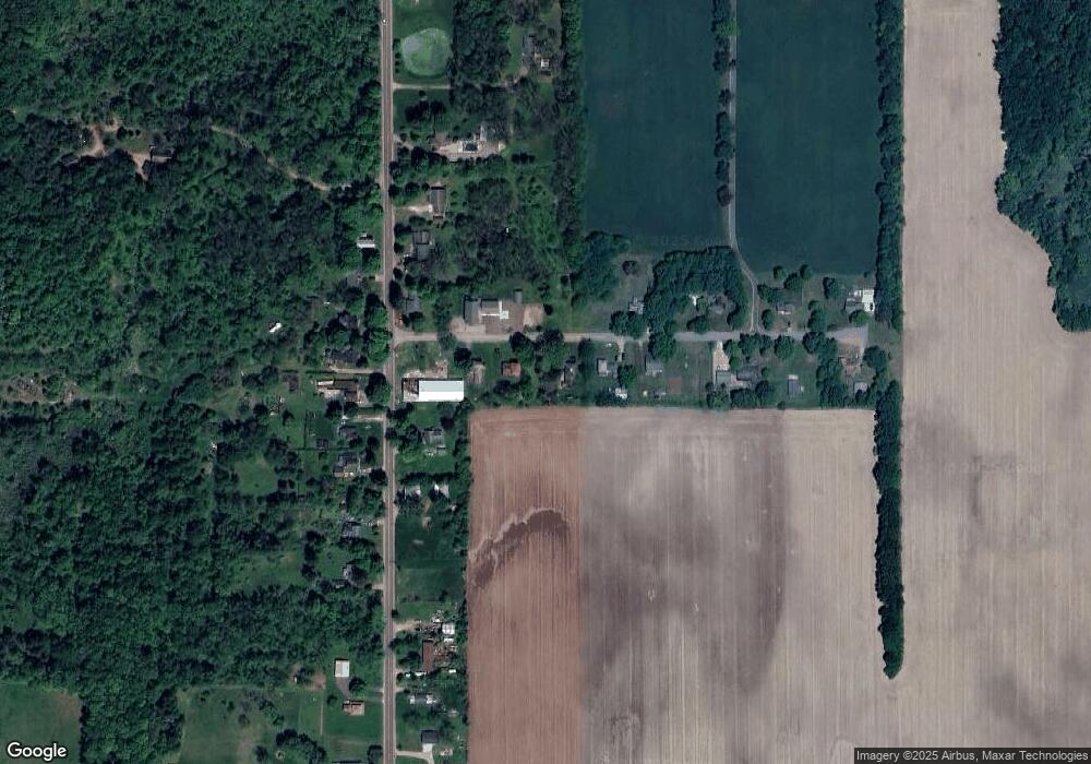
Map
Nearby Homes
- 0 Wildt Hwy Unit 25051557
- 0 Wildt Hwy Unit 25051551
- 0 Wildt Hwy Unit 25051556
- 0 Wildt Hwy Unit 25051552
- 7805 Wildt Hwy
- 0 Mason Rd S Unit 24058359
- 3651 Section Rd
- 1135 Jack Henry Dr
- 8100 Valley Hwy
- 3907 S Lacey Lake Rd
- 854 S Ainger Rd
- 4755 Carlisle Hwy
- 2160 N Shaytown Rd
- 0 Montels Parcel H Way
- Vl Montels Parcel D Way
- 0 W Kalamo Hwy
- 875 Linden St
- 220 N Chester Rd
- 398 S Main St
- 506 Sherman