Estimated Value: $529,223 - $764,000
Studio
--
Bath
1,974
Sq Ft
$314/Sq Ft
Est. Value
About This Home
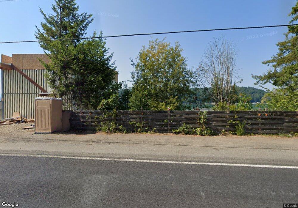
This home is located at 8801 E State Route 106, Union, WA 98592 and is currently estimated at $620,556, approximately $314 per square foot. 8801 E State Route 106 is a home with nearby schools including Hood Canal Elementary/Junior High School.
Ownership History
Date
Name
Owned For
Owner Type
Purchase Details
Closed on
Jan 22, 2020
Sold by
Big D S Beach Cabin Llc
Bought by
Bayley Joan V
Current Estimated Value
Purchase Details
Closed on
Dec 13, 2019
Sold by
Bayley Joan V
Bought by
Bayley Philip N and Frihet Trust
Purchase Details
Closed on
Jun 7, 2017
Sold by
Hudson Darrin L and Hudson Carolyn Ann
Bought by
Big D'S Beach Cabin Llc
Purchase Details
Closed on
Oct 26, 2011
Sold by
1995 Bayley Family Lp and Bayley David C
Bought by
Hudson Darri L and Hudson Carolyn Ann
Purchase Details
Closed on
Sep 30, 2011
Sold by
Hudson Darrin L and Hudson Carolyn Ann
Bought by
1995 Vayley Falimy Lp
Create a Home Valuation Report for This Property
The Home Valuation Report is an in-depth analysis detailing your home's value as well as a comparison with similar homes in the area
Purchase History
| Date | Buyer | Sale Price | Title Company |
|---|---|---|---|
| Bayley Joan V | -- | None Available | |
| Bayley Philip N | -- | None Available | |
| Big D'S Beach Cabin Llc | $90,000 | Olympic Title Company | |
| Hudson Darri L | -- | Mason County Title Ins Co | |
| 1995 Vayley Falimy Lp | -- | Masaon County Title Ins Co |
Source: Public Records
Tax History
| Year | Tax Paid | Tax Assessment Tax Assessment Total Assessment is a certain percentage of the fair market value that is determined by local assessors to be the total taxable value of land and additions on the property. | Land | Improvement |
|---|---|---|---|---|
| 2025 | $3,023 | $366,110 | $191,885 | $174,225 |
| 2024 | $3,023 | $475,990 | $99,900 | $376,090 |
| 2023 | $1,398 | $194,395 | $178,395 | $16,000 |
| 2022 | $1,738 | $189,420 | $189,420 | $0 |
| 2021 | $1,935 | $189,420 | $189,420 | $0 |
| 2020 | $1,084 | $188,785 | $188,785 | $0 |
| 2018 | $2,266 | $215,635 | $215,635 | $0 |
| 2017 | $1,959 | $215,580 | $215,580 | $0 |
| 2016 | $1,970 | $195,435 | $195,435 | $0 |
| 2015 | $1,995 | $201,475 | $201,475 | $0 |
| 2014 | -- | $201,475 | $201,475 | $0 |
| 2013 | -- | $135,000 | $135,000 | $0 |
Source: Public Records
Map
Nearby Homes
- 1123 E Timber Tides Dr
- 1121 E Timber Tides Dr
- 1133 E Timber Tides Dr
- 0 E Windstar Rd Unit NWM2436680
- 341 E Olympic Vista Dr
- 11 E Betty jo Ct
- 40 E Susan Ct
- 80 NE Brook Place
- 31 E Westwood Ln E
- 50 E Blackberry Ln
- 19560 NE North Shore Rd
- 230 E Blackberry Ln
- 361 Southridge Dr
- 140 E Westwood Ln E
- 231 E Blackberry Ln
- 33 E Michelle Ct
- 21 E Eastwood Ln
- 0 E Mason Ave
- 50 E Eastwood Ln
- 1190 E Manzanita Dr
- 8821 E State Route 106
- 8791 E State Route 106
- 9130 E Hwy 106
- 9130 Highway 106
- 9130 E State Route 106
- 8820 Washington 106
- 8831 E State Route 106
- 8851 E State Route 106
- 8850 E State Route 106
- 8910 E State Route 106
- 8870 E State Route 106
- 8931 E State Route 106
- 8960 E State Route 106
- 8980 E State Route 106
- 9000 E State Route 106
- 9021 E State Route 106
- 9000 Washington 106
- 9030 E State Route 106
- 8534 E State Route 106
- 0 E State Route 106 Unit 1221639
Your Personal Tour Guide
Ask me questions while you tour the home.