8801 White Fir Ct Reno, NV 89523
West 4th Street NeighborhoodEstimated Value: $727,060 - $771,000
4
Beds
3
Baths
2,030
Sq Ft
$372/Sq Ft
Est. Value
About This Home
This home is located at 8801 White Fir Ct, Reno, NV 89523 and is currently estimated at $756,015, approximately $372 per square foot. 8801 White Fir Ct is a home located in Washoe County with nearby schools including Verdi Elementary School, B D Billinghurst Middle School, and Robert McQueen High School.
Ownership History
Date
Name
Owned For
Owner Type
Purchase Details
Closed on
Dec 26, 1995
Sold by
River Park Partners Ltd
Bought by
Hewen Paul P and Powers Robyn
Current Estimated Value
Home Financials for this Owner
Home Financials are based on the most recent Mortgage that was taken out on this home.
Original Mortgage
$174,400
Outstanding Balance
$4,743
Interest Rate
7.37%
Estimated Equity
$751,272
Create a Home Valuation Report for This Property
The Home Valuation Report is an in-depth analysis detailing your home's value as well as a comparison with similar homes in the area
Home Values in the Area
Average Home Value in this Area
Purchase History
| Date | Buyer | Sale Price | Title Company |
|---|---|---|---|
| Hewen Paul P | $223,000 | Stewart Title |
Source: Public Records
Mortgage History
| Date | Status | Borrower | Loan Amount |
|---|---|---|---|
| Open | Hewen Paul P | $174,400 |
Source: Public Records
Tax History Compared to Growth
Tax History
| Year | Tax Paid | Tax Assessment Tax Assessment Total Assessment is a certain percentage of the fair market value that is determined by local assessors to be the total taxable value of land and additions on the property. | Land | Improvement |
|---|---|---|---|---|
| 2025 | $3,249 | $139,424 | $50,540 | $88,884 |
| 2024 | $3,249 | $131,891 | $44,590 | $87,301 |
| 2023 | $3,095 | $125,954 | $42,945 | $83,009 |
| 2022 | $3,007 | $108,054 | $38,570 | $69,484 |
| 2021 | $2,919 | $98,623 | $29,295 | $69,328 |
| 2020 | $2,832 | $99,531 | $29,820 | $69,711 |
| 2019 | $2,750 | $99,257 | $31,885 | $67,372 |
| 2018 | $2,669 | $87,066 | $21,000 | $66,066 |
| 2017 | $2,591 | $87,350 | $21,000 | $66,350 |
| 2016 | $2,525 | $86,429 | $18,970 | $67,459 |
| 2015 | $2,522 | $83,292 | $15,925 | $67,367 |
| 2014 | $2,449 | $78,192 | $12,810 | $65,382 |
| 2013 | -- | $64,773 | $10,360 | $54,413 |
Source: Public Records
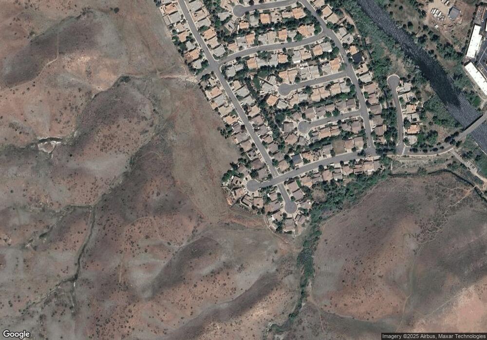
Map
Nearby Homes
- 8765 Steelhead Ct
- 159 River Flow Dr
- 6850 Sharlands Ave Unit V2128
- 6850 Sharlands Ave Unit T 2113
- 6850 Sharlands Ave Unit Q1095
- 6850 Sharlands Ave Unit 1111
- 6850 Sharlands Ave Unit F2030
- 6850 Sharlands Ave Unit a2003
- 4485 Mountaingate Dr
- 7440 W 4th St Unit 7
- 7440 W 4th St Unit 46
- 7440 W 4th St Unit 35
- 4595 Woodchuck Cir
- 4760 Woodchuck Cir Unit 1
- 4820 Woodchuck Cir Unit 2
- 4400 Mountaingate Dr
- 4890 Woodchuck Cir Unit 3
- 4305 Mountaingate Dr
- 4825 Woodchuck Cir Unit 17
- 10000 Watercress Cir
- 8811 White Fir Ct
- 391 River Flow Dr Unit 1
- 383 River Flow Dr
- 399 River Flow Dr
- 375 River Flow Dr
- 8821 White Fir Ct
- 367 River Flow Dr
- 8810 White Fir Ct
- 401 River Flow Ct
- 8800 White Fir Ct
- 382 River Flow Dr
- 390 River Flow Dr
- 374 River Flow Dr Unit NV
- 359 River Flow Dr
- 366 River Flow Dr
- 409 River Flow Ct
- 402 River Flow Ct
- 358 River Flow Dr
- 351 River Flow Dr