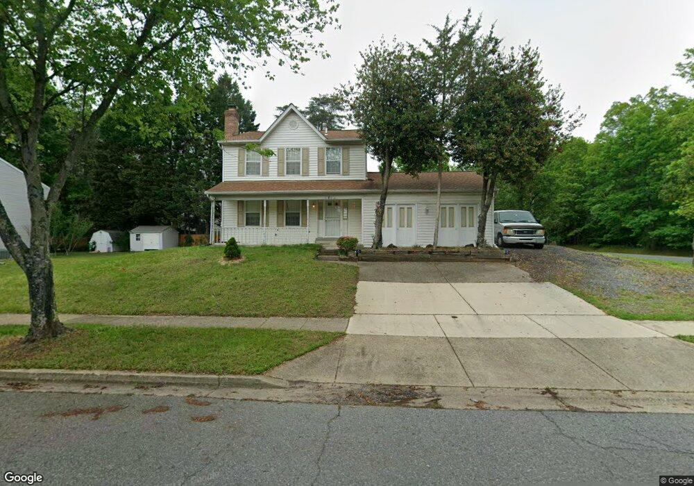
8802 Delphi Dr Clinton, MD 20735
Estimated Value: $446,052 - $510,000
Studio
3
Baths
1,868
Sq Ft
$254/Sq Ft
Est. Value
About This Home
This home is located at 8802 Delphi Dr, Clinton, MD 20735 and is currently estimated at $474,017, approximately $253 per square foot. 8802 Delphi Dr is a home located in Prince George's County with nearby schools including Melwood Elementary School, James Madison Middle School, and Frederick Douglass High School.
Ownership History
Date
Name
Owned For
Owner Type
Purchase Details
Closed on
Sep 18, 1995
Sold by
Veterans Admn
Bought by
Reid P L
Current Estimated Value
Home Financials for this Owner
Home Financials are based on the most recent Mortgage that was taken out on this home.
Original Mortgage
$130,000
Interest Rate
7.81%
Purchase Details
Closed on
Aug 31, 1994
Sold by
Offutt James
Bought by
Secretary Veterans Affair
Purchase Details
Closed on
Dec 11, 1990
Sold by
Armhold Jane F
Bought by
Offutt James and Offutt Hazel L
Create a Home Valuation Report for This Property
The Home Valuation Report is an in-depth analysis detailing your home's value as well as a comparison with similar homes in the area
Home Values in the Area
Average Home Value in this Area
Purchase History
| Date | Buyer | Sale Price | Title Company |
|---|---|---|---|
| Reid P L | $147,000 | -- | |
| Secretary Veterans Affair | $133,215 | -- | |
| Offutt James | $168,200 | -- |
Source: Public Records
Mortgage History
| Date | Status | Borrower | Loan Amount |
|---|---|---|---|
| Closed | Secretary Veterans Affair | $130,000 |
Source: Public Records
Tax History
| Year | Tax Paid | Tax Assessment Tax Assessment Total Assessment is a certain percentage of the fair market value that is determined by local assessors to be the total taxable value of land and additions on the property. | Land | Improvement |
|---|---|---|---|---|
| 2025 | $399 | $412,600 | $101,600 | $311,000 |
| 2024 | $399 | $396,533 | -- | -- |
| 2023 | $398 | $380,467 | $0 | $0 |
| 2022 | $398 | $364,400 | $101,600 | $262,800 |
| 2021 | $398 | $348,867 | $0 | $0 |
| 2020 | $398 | $333,333 | $0 | $0 |
| 2019 | $398 | $317,800 | $100,800 | $217,000 |
| 2018 | $398 | $295,767 | $0 | $0 |
| 2017 | $398 | $273,733 | $0 | $0 |
| 2016 | -- | $251,700 | $0 | $0 |
| 2015 | $347 | $249,733 | $0 | $0 |
| 2014 | $347 | $247,767 | $0 | $0 |
Source: Public Records
Map
Nearby Homes
- 9009 Eldon Dr
- 8518 Cedar Chase Dr
- 9104 Rama Ct
- 8826 Creekway Dr
- 9106 Helmsley Dr
- 9401 Cheltenham Ave
- 10104 Dangerfield Rd
- 9015 Helmsley Dr
- 8305 Deborah St
- 9702 Green Apple Turn
- 0 Dangerfield Rd
- 8719 Brazke Ct
- 9073 Ballotade St Unit 7WA095
- 9071 Ballotade St Unit 7WA096
- 7804 New Ascot Ln
- 8401 Cahill Ct
- 10112 Dressage Dr
- 9932 Pesade Way
- 7808 Sarakal Rd
- 7705 Old Alexandria Ferry Rd
- 8800 Delphi Dr
- 8803 Dangerfield Ct
- 8801 Dangerfield Ct
- 8708 Dangerfield Place
- 8712 Delphi Dr
- 8801 Delphi Dr
- 8800 Dangerfield Ct
- 8710 Delphi Dr
- 8706 Dangerfield Place
- 8813 Francesca Dr
- 8804 Dangerfield Ct
- 8802 Dangerfield Ct
- 8711 Delphi Dr
- 8708 Delphi Dr
- 8633 Dangerfield Place
- 8704 Dangerfield Place
- 8811 Francesca Dr
- 8904 Dangerfield Place
- 8637 Dangerfield Place
- 8709 Delphi Dr
Your Personal Tour Guide
Ask me questions while you tour the home.