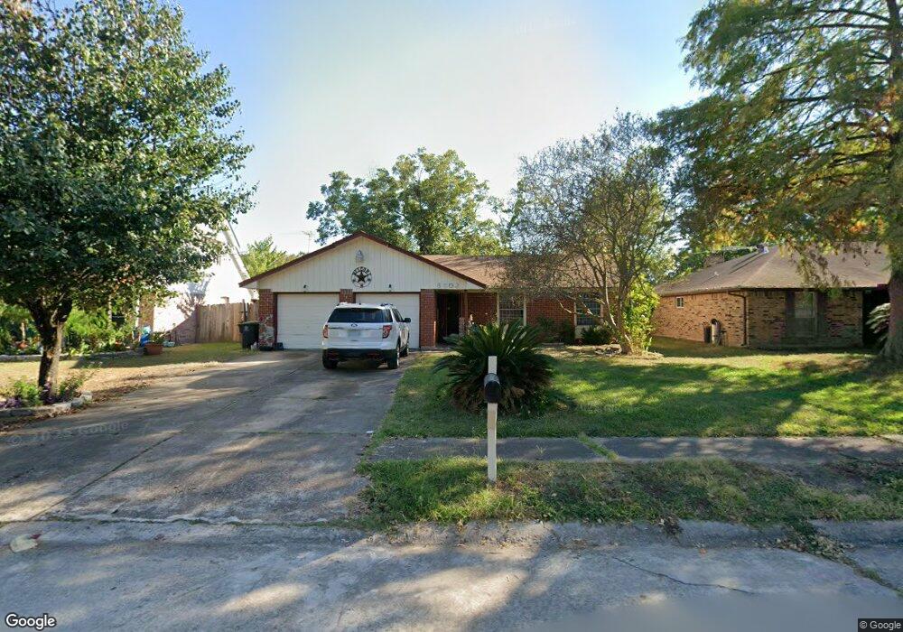
8802 Landwood Dr Houston, TX 77040
Greater Inwood NeighborhoodEstimated Value: $199,000 - $240,000
3
Beds
2
Baths
1,631
Sq Ft
$139/Sq Ft
Est. Value
About This Home
This home is located at 8802 Landwood Dr, Houston, TX 77040 and is currently estimated at $226,176, approximately $138 per square foot. 8802 Landwood Dr is a home located in Harris County with nearby schools including Holbrook Elementary School, Dean Middle School, and Jersey Village High School.
Ownership History
Date
Name
Owned For
Owner Type
Purchase Details
Closed on
Mar 3, 2009
Sold by
Scott Mark E and Scott Matthew W
Bought by
Castro Raul H
Current Estimated Value
Home Financials for this Owner
Home Financials are based on the most recent Mortgage that was taken out on this home.
Original Mortgage
$86,406
Outstanding Balance
$54,942
Interest Rate
5.13%
Mortgage Type
FHA
Estimated Equity
$171,234
Create a Home Valuation Report for This Property
The Home Valuation Report is an in-depth analysis detailing your home's value as well as a comparison with similar homes in the area
Home Values in the Area
Average Home Value in this Area
Purchase History
| Date | Buyer | Sale Price | Title Company |
|---|---|---|---|
| Castro Raul H | -- | Texas American Title Company |
Source: Public Records
Mortgage History
| Date | Status | Borrower | Loan Amount |
|---|---|---|---|
| Open | Castro Raul H | $86,406 |
Source: Public Records
Tax History Compared to Growth
Tax History
| Year | Tax Paid | Tax Assessment Tax Assessment Total Assessment is a certain percentage of the fair market value that is determined by local assessors to be the total taxable value of land and additions on the property. | Land | Improvement |
|---|---|---|---|---|
| 2025 | $2,826 | $204,577 | $60,865 | $143,712 |
| 2024 | $2,826 | $214,807 | $60,865 | $153,942 |
| 2023 | $2,826 | $212,959 | $60,865 | $152,094 |
| 2022 | $4,273 | $190,991 | $50,829 | $140,162 |
| 2021 | $4,061 | $157,161 | $50,829 | $106,332 |
| 2020 | $4,011 | $160,366 | $35,750 | $124,616 |
| 2019 | $3,796 | $141,040 | $21,450 | $119,590 |
| 2018 | $1,074 | $124,515 | $21,450 | $103,065 |
| 2017 | $3,448 | $124,515 | $21,450 | $103,065 |
| 2016 | $3,357 | $124,515 | $21,450 | $103,065 |
| 2015 | $2,057 | $117,653 | $17,875 | $99,778 |
| 2014 | $2,057 | $100,185 | $17,875 | $82,310 |
Source: Public Records
Map
Nearby Homes
- 7218 Stonegate Dr
- 7259 Shady Arbor Ln
- 7318 Shady Grove Ln
- 8615 Black Tern Ln
- 6902 Anson Point Ln
- 8610 Twillingate Ln
- 9350 Guywood St
- 9331 Deanwood St
- 6407 Deirdre Anne Dr
- 7718 Breezeway St
- 9523 Vanwood St
- 6310 Silver Chalice Dr
- 9207 Loren Ln
- 7051 Majestic Oaks Dr
- 6338 Maple Hill Dr
- 9214 Woodland Oaks Dr
- 6430 Pirtlewood Cir
- 8007 E Oakwood Ct
- 7218 Jadewood Dr Unit 770
- 7731 Deadwood Dr
- 8806 Landwood Dr
- 8726 Landwood Dr
- 7222 Stonegate Dr
- 7226 Stonegate Dr
- 8722 Landwood Dr
- 8810 Landwood Dr
- 7230 Stonegate Dr
- 7214 Stonegate Dr
- 8727 Landwood Dr
- 8803 Landwood Dr
- 8814 Landwood Dr
- 8723 Landwood Dr
- 8718 Landwood Dr
- 7234 Stonegate Dr
- 7210 Stonegate Dr
- 8807 Landwood Dr
- 8719 Landwood Dr
- 8714 Landwood Dr
- 7238 Stonegate Dr
- 7206 Stonegate Dr