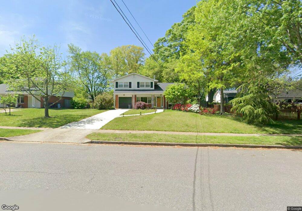
8804 Battery Rd Alexandria, VA 22308
Fort Hunt NeighborhoodEstimated Value: $788,000 - $816,827
4
Beds
2
Baths
1,258
Sq Ft
$635/Sq Ft
Est. Value
About This Home
This home is located at 8804 Battery Rd, Alexandria, VA 22308 and is currently estimated at $798,957, approximately $635 per square foot. 8804 Battery Rd is a home located in Fairfax County with nearby schools including Fort Hunt Elementary School, Sandburg Middle, and West Potomac High School.
Ownership History
Date
Name
Owned For
Owner Type
Purchase Details
Closed on
Aug 1, 2000
Sold by
Est Shirley P Miller
Bought by
Muchoney Douglas M
Current Estimated Value
Home Financials for this Owner
Home Financials are based on the most recent Mortgage that was taken out on this home.
Original Mortgage
$200,000
Outstanding Balance
$71,903
Interest Rate
8.1%
Estimated Equity
$727,054
Create a Home Valuation Report for This Property
The Home Valuation Report is an in-depth analysis detailing your home's value as well as a comparison with similar homes in the area
Home Values in the Area
Average Home Value in this Area
Purchase History
| Date | Buyer | Sale Price | Title Company |
|---|---|---|---|
| Muchoney Douglas M | $250,000 | -- |
Source: Public Records
Mortgage History
| Date | Status | Borrower | Loan Amount |
|---|---|---|---|
| Open | Muchoney Douglas M | $200,000 |
Source: Public Records
Tax History Compared to Growth
Tax History
| Year | Tax Paid | Tax Assessment Tax Assessment Total Assessment is a certain percentage of the fair market value that is determined by local assessors to be the total taxable value of land and additions on the property. | Land | Improvement |
|---|---|---|---|---|
| 2025 | $8,687 | $757,190 | $351,000 | $406,190 |
| 2024 | $8,687 | $701,920 | $318,000 | $383,920 |
| 2023 | $8,109 | $675,150 | $306,000 | $369,150 |
| 2022 | $7,839 | $644,030 | $290,000 | $354,030 |
| 2021 | $7,359 | $593,020 | $276,000 | $317,020 |
| 2020 | $7,024 | $562,250 | $256,000 | $306,250 |
| 2019 | $7,123 | $569,310 | $256,000 | $313,310 |
| 2018 | $6,289 | $546,880 | $256,000 | $290,880 |
| 2017 | $6,570 | $536,180 | $251,000 | $285,180 |
| 2016 | $6,682 | $547,000 | $256,000 | $291,000 |
| 2015 | $5,997 | $506,440 | $237,000 | $269,440 |
| 2014 | $6,343 | $538,640 | $252,000 | $286,640 |
Source: Public Records
Map
Nearby Homes
- 8628 Plymouth Rd
- 8917 Linton Ln
- 8601 Buckboard Dr
- 8602 Cushman Place
- 2308 Creek Dr
- 8518 Riverside Rd
- 2410 Ryegate Ln
- 8305 Fort Hunt Rd
- 8705 Stockton Pkwy
- Hampton II Plan at Collingwood Chase
- 8260 Colling Manor Ct
- 8413 W Boulevard Dr
- 8281 Colling Manor Ct
- 8280 Colling Manor Ct
- 8276 Colling Manor Ct
- 8264 Colling Manor Ct
- 1700 Collingwood Rd
- 8127 Stacey Rd
- 8123 Stacey Rd
- 8119 Stacey Rd
- 8806 Battery Rd
- 8824 Fort Hunt Rd
- 8812 Camfield Dr
- 8822 Fort Hunt Rd
- 8814 Camfield Dr
- 8801 Battery Rd
- 8805 Battery Rd
- 8820 Fort Hunt Rd
- 8807 Battery Rd
- 8812 Battery Rd
- 8816 Camfield Dr
- 8809 Battery Rd
- 8832 Fort Hunt Rd
- 8813 Camfield Dr
- 8818 Fort Hunt Rd
- 8841 Fort Hunt Rd
- 8811 Battery Rd
- 8815 Camfield Dr
- 8818 Camfield Dr
- 8845 Fort Hunt Rd