8807 Otso Point Rd Anderson Island, WA 98303
Estimated Value: $668,000 - $986,000
6
Beds
5
Baths
3,867
Sq Ft
$213/Sq Ft
Est. Value
About This Home
This home is located at 8807 Otso Point Rd, Anderson Island, WA 98303 and is currently estimated at $822,090, approximately $212 per square foot. 8807 Otso Point Rd is a home located in Pierce County with nearby schools including Anderson Island Elementary School, Pioneer Middle School, and Steilacoom High School.
Ownership History
Date
Name
Owned For
Owner Type
Purchase Details
Closed on
Oct 12, 2020
Sold by
Oppenheim Paul and Oppenheim Valerie
Bought by
Wells David and Wells Margo
Current Estimated Value
Purchase Details
Closed on
Dec 11, 2019
Sold by
Wells David C
Bought by
Wells David C and Wells Margo L
Purchase Details
Closed on
Oct 20, 2017
Sold by
Buchert David J and Buchert Rebecca L
Bought by
Wells David C
Purchase Details
Closed on
Jul 12, 2004
Sold by
Luce Buchanan Rosalie M
Bought by
Buchert David J and Buchert Rebecca L
Create a Home Valuation Report for This Property
The Home Valuation Report is an in-depth analysis detailing your home's value as well as a comparison with similar homes in the area
Home Values in the Area
Average Home Value in this Area
Purchase History
| Date | Buyer | Sale Price | Title Company |
|---|---|---|---|
| Wells David | -- | None Available | |
| Wells David C | -- | None Available | |
| Wells David C | $584,719 | F A T C O | |
| Buchert David J | $47,500 | Puget Sound Title Company |
Source: Public Records
Tax History Compared to Growth
Tax History
| Year | Tax Paid | Tax Assessment Tax Assessment Total Assessment is a certain percentage of the fair market value that is determined by local assessors to be the total taxable value of land and additions on the property. | Land | Improvement |
|---|---|---|---|---|
| 2025 | $8,523 | $846,300 | $153,500 | $692,800 |
| 2024 | $8,523 | $859,800 | $150,100 | $709,700 |
| 2023 | $8,523 | $778,800 | $154,800 | $624,000 |
| 2022 | $6,427 | $688,900 | $154,800 | $534,100 |
| 2021 | $6,627 | $513,800 | $105,700 | $408,100 |
| 2019 | $6,839 | $488,600 | $96,800 | $391,800 |
| 2018 | $6,481 | $518,300 | $87,300 | $431,000 |
| 2017 | $5,772 | $434,500 | $75,000 | $359,500 |
| 2016 | $6,038 | $411,900 | $65,500 | $346,400 |
| 2014 | $6,230 | $406,900 | $65,500 | $341,400 |
| 2013 | $6,230 | $390,700 | $65,600 | $325,100 |
Source: Public Records
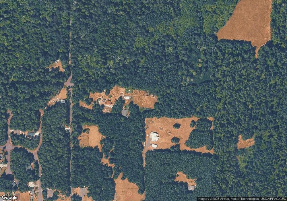
Map
Nearby Homes
- 8912 126th Avenue Ct
- 8811 127th Avenue Ct
- 12606 Silver Dr
- 12611 Silver Dr
- 12408 93rd St
- 9310 123rd Ave
- 12123 Sunset Place
- 9118 130th Avenue Ct
- 8615 Eckenstam Johnson Rd
- 12727 96th Street Ct
- 12726 96th Street Ct
- 9223 Kootenai Dr
- 11316 Breaker Way
- 8510 112th Ave
- 9705 117th Ave
- 8406 112th Ave
- 10115 Edgewood Dr
- 10213 Edgewood Dr
- 10412 Edgewood Dr
- 10611 Vantage Dr
- 8807 Otso Point Rd Unit AI
- 0 Otso Point Rd Unit 895812
- 0 Otso Point Rd Unit 749211
- 0 Otso Point Rd Unit 1609342
- 12606 Lovass Rd
- 8804 Otso Point Rd
- 8906 Otso Point Rd
- 8910 Otso Point Rd
- 8813 126th Ave
- 12401 Yoman Rd
- 8914 Otso Point Rd
- 8903 126th Avenue Ct
- 8907 126th Avenue Ct
- 8805 126th Ave
- 8904 126th Av Ct
- 12618 Lovass Rd
- 12708 Lovass Rd
- 8904 126th Avenue Ct
- 8911 126th Avenue Ct
- 8915 126th Avenue Ct