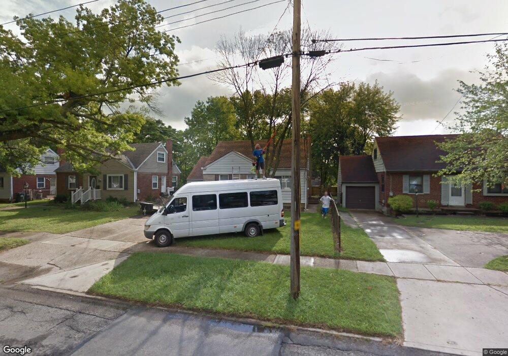
8808 Daly Rd Cincinnati, OH 45231
Finneytown NeighborhoodEstimated Value: $143,314 - $204,000
3
Beds
1
Bath
1,020
Sq Ft
$167/Sq Ft
Est. Value
About This Home
This home is located at 8808 Daly Rd, Cincinnati, OH 45231 and is currently estimated at $170,329, approximately $166 per square foot. 8808 Daly Rd is a home located in Hamilton County with nearby schools including Finneytown Elementary School, Finneytown Secondary Campus, and St. Vivian School.
Ownership History
Date
Name
Owned For
Owner Type
Purchase Details
Closed on
Aug 20, 2007
Sold by
Keybank Na
Bought by
Staudt John
Current Estimated Value
Purchase Details
Closed on
Jan 8, 2007
Sold by
Cable Alan P and Cable Tonda L
Bought by
Key Bank Na
Create a Home Valuation Report for This Property
The Home Valuation Report is an in-depth analysis detailing your home's value as well as a comparison with similar homes in the area
Home Values in the Area
Average Home Value in this Area
Purchase History
We collect this data history from publicly available records. To have your information removed, we recommend requesting removal directly through your county’s website.
| Date | Buyer | Sale Price | Title Company |
|---|---|---|---|
| Staudt John | $40,000 | Attorney | |
| Key Bank Na | $43,701 | None Available |
Source: Public Records
Tax History
| Year | Tax Paid | Tax Assessment Tax Assessment Total Assessment is a certain percentage of the fair market value that is determined by local assessors to be the total taxable value of land and additions on the property. | Land | Improvement |
|---|---|---|---|---|
| 2025 | $2,367 | $33,009 | $5,803 | $27,206 |
| 2023 | $2,296 | $33,009 | $5,803 | $27,206 |
| 2022 | $2,294 | $23,969 | $5,723 | $18,246 |
| 2021 | $2,297 | $23,969 | $5,723 | $18,246 |
| 2020 | $2,275 | $23,969 | $5,723 | $18,246 |
| 2019 | $2,104 | $20,314 | $4,851 | $15,463 |
| 2018 | $1,947 | $20,314 | $4,851 | $15,463 |
| 2017 | $1,884 | $20,314 | $4,851 | $15,463 |
| 2016 | $2,110 | $22,100 | $5,268 | $16,832 |
| 2015 | $2,090 | $22,100 | $5,268 | $16,832 |
| 2014 | $2,087 | $22,100 | $5,268 | $16,832 |
| 2013 | $2,125 | $23,261 | $5,544 | $17,717 |
Source: Public Records
Map
Nearby Homes
- 8779 Daly Rd
- 8796 Balboa Dr
- 8754 Monsanto Dr
- 8793 Balboa Dr
- 1175 Madeleine Cir
- 8877 Balboa Dr
- 1176 Madeleine Cir
- 1149 Madeleine Cir
- 8819 Grenada Dr
- 8634 Daly Rd
- 1275 Frost Ct
- 8997 Monsanto Dr
- 1101 Meadowind Ct
- 1290 Aldrich Ave
- 1304 Aldrich Ave
- 8616 Balboa Dr
- 8844 Ebro Ct
- 8845 Ebro Ct
- 1316 Landis Ln
- 1313 Landis Ln
Your Personal Tour Guide
Ask me questions while you tour the home.