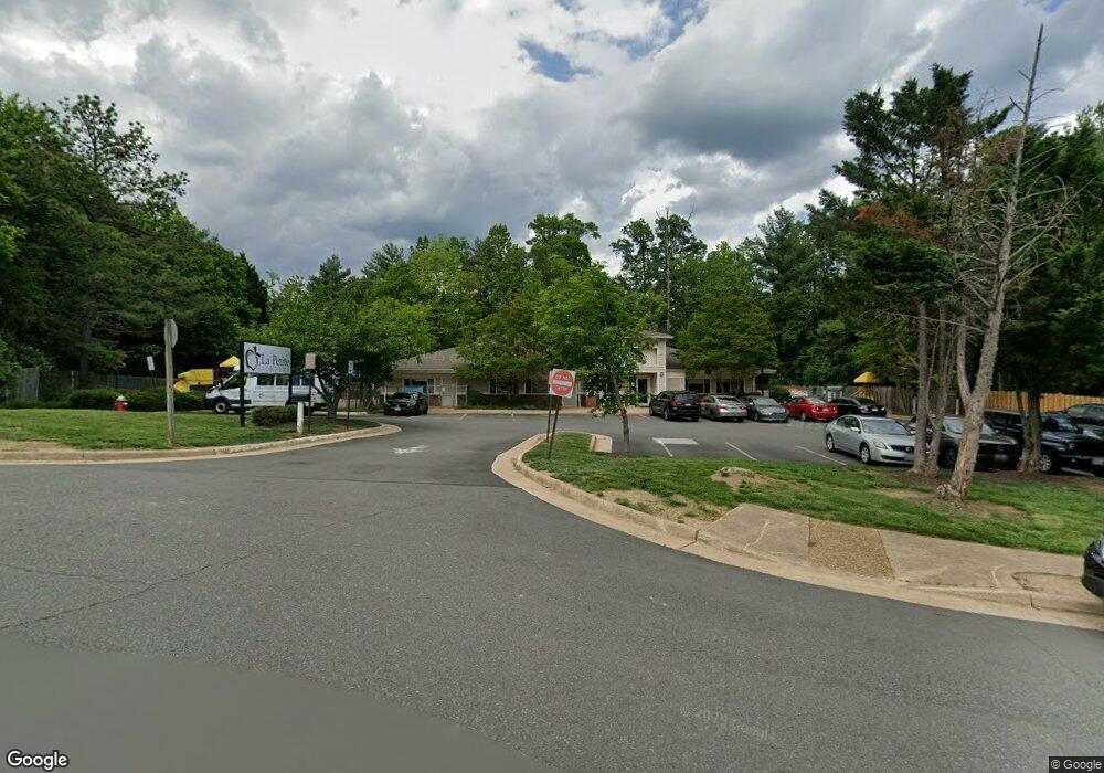
8808 Redman St Springfield, VA 22153
Estimated Value: $2,666,431
Studio
--
Bath
5,400
Sq Ft
$494/Sq Ft
Est. Value
About This Home
This home is located at 8808 Redman St, Springfield, VA 22153 and is currently estimated at $2,666,431, approximately $493 per square foot. 8808 Redman St is a home located in Fairfax County with nearby schools including Newington Forest Elementary School, South County Middle School, and South County High School.
Ownership History
Date
Name
Owned For
Owner Type
Purchase Details
Closed on
Jun 29, 2006
Sold by
Clb Equities L P
Bought by
Jerry Property Llc
Current Estimated Value
Home Financials for this Owner
Home Financials are based on the most recent Mortgage that was taken out on this home.
Original Mortgage
$1,398,750
Outstanding Balance
$828,109
Interest Rate
6.6%
Mortgage Type
New Conventional
Estimated Equity
$1,852,582
Purchase Details
Closed on
Nov 4, 1994
Sold by
La Petite Academy Nc
Bought by
Groves Don E
Home Financials for this Owner
Home Financials are based on the most recent Mortgage that was taken out on this home.
Original Mortgage
$2,652,000
Interest Rate
8.71%
Mortgage Type
Commercial
Create a Home Valuation Report for This Property
The Home Valuation Report is an in-depth analysis detailing your home's value as well as a comparison with similar homes in the area
Home Values in the Area
Average Home Value in this Area
Purchase History
| Date | Buyer | Sale Price | Title Company |
|---|---|---|---|
| Jerry Property Llc | $1,871,736 | -- | |
| Groves Don E | $1,119,000 | -- |
Source: Public Records
Mortgage History
| Date | Status | Borrower | Loan Amount |
|---|---|---|---|
| Open | Jerry Property Llc | $1,398,750 | |
| Previous Owner | Groves Don E | $2,652,000 |
Source: Public Records
Tax History
| Year | Tax Paid | Tax Assessment Tax Assessment Total Assessment is a certain percentage of the fair market value that is determined by local assessors to be the total taxable value of land and additions on the property. | Land | Improvement |
|---|---|---|---|---|
| 2025 | $20,178 | $1,585,950 | $852,500 | $733,450 |
| 2024 | $20,178 | $1,572,140 | $852,500 | $719,640 |
| 2023 | $19,363 | $1,544,690 | $852,500 | $692,190 |
| 2022 | $19,141 | $1,508,970 | $852,500 | $656,470 |
| 2021 | $19,201 | $1,478,730 | $852,500 | $626,230 |
| 2020 | $19,990 | $1,527,710 | $880,000 | $647,710 |
| 2019 | $20,094 | $1,535,660 | $880,000 | $655,660 |
| 2018 | $17,595 | $1,530,010 | $880,000 | $650,010 |
| 2017 | $20,003 | $1,555,420 | $880,000 | $675,420 |
| 2016 | $20,202 | $1,573,980 | $880,000 | $693,980 |
Source: Public Records
Map
Nearby Homes
- 8019 Galla Knoll Cir
- 8108 Steeple Chase Ct
- 8836 Shadowlake Way
- 9104 Scott St
- 7604 Bertito Ln
- 7702 Newington Forest Ave
- 7508 Irene Ct
- 9115 Northedge Dr
- 8217 Bayberry Ridge Rd
- 8735 Stone Hill Place
- 8309 Linden Oaks Ct
- 7752 Gamid Dr
- 8757 Southern Oaks Place
- 8753 Southern Oaks Place
- 8761 Southern Oaks Place
- 8301 Kings Ridge Ct
- 7217 Galgate Dr
- 8739 Arley Dr
- 8621 Kenosha Ct
- 9315 Hallston Ct
Your Personal Tour Guide
Ask me questions while you tour the home.