881 Leach Rd Salisbury, NC 28146
Estimated Value: $263,000 - $326,000
Studio
2
Baths
2,128
Sq Ft
$134/Sq Ft
Est. Value
About This Home
This home is located at 881 Leach Rd, Salisbury, NC 28146 and is currently estimated at $285,333, approximately $134 per square foot. 881 Leach Rd is a home located in Rowan County with nearby schools including China Grove Elementary School, Southeast Middle School, and Jesse C Carson High School.
Ownership History
Date
Name
Owned For
Owner Type
Purchase Details
Closed on
Jul 7, 2005
Sold by
Shoemaker Lynn Conner and Shoemaker Charles R
Bought by
Shoemaker Matthew B
Current Estimated Value
Home Financials for this Owner
Home Financials are based on the most recent Mortgage that was taken out on this home.
Original Mortgage
$136,850
Interest Rate
5.57%
Mortgage Type
Unknown
Create a Home Valuation Report for This Property
The Home Valuation Report is an in-depth analysis detailing your home's value as well as a comparison with similar homes in the area
Purchase History
| Date | Buyer | Sale Price | Title Company |
|---|---|---|---|
| Shoemaker Matthew B | -- | -- |
Source: Public Records
Mortgage History
| Date | Status | Borrower | Loan Amount |
|---|---|---|---|
| Closed | Shoemaker Matthew B | $136,850 |
Source: Public Records
Tax History
| Year | Tax Paid | Tax Assessment Tax Assessment Total Assessment is a certain percentage of the fair market value that is determined by local assessors to be the total taxable value of land and additions on the property. | Land | Improvement |
|---|---|---|---|---|
| 2025 | $1,532 | $228,659 | $45,000 | $183,659 |
| 2024 | $1,532 | $228,659 | $45,000 | $183,659 |
| 2023 | $1,532 | $228,659 | $45,000 | $183,659 |
| 2022 | $1,189 | $159,066 | $45,000 | $114,066 |
| 2021 | $1,180 | $159,066 | $45,000 | $114,066 |
| 2020 | $1,180 | $159,066 | $45,000 | $114,066 |
| 2019 | $1,180 | $159,066 | $45,000 | $114,066 |
| 2018 | $1,049 | $142,535 | $45,000 | $97,535 |
| 2017 | $1,049 | $142,535 | $45,000 | $97,535 |
| 2016 | $1,049 | $142,535 | $45,000 | $97,535 |
| 2015 | $1,065 | $142,535 | $45,000 | $97,535 |
| 2014 | $933 | $131,051 | $29,812 | $101,239 |
Source: Public Records
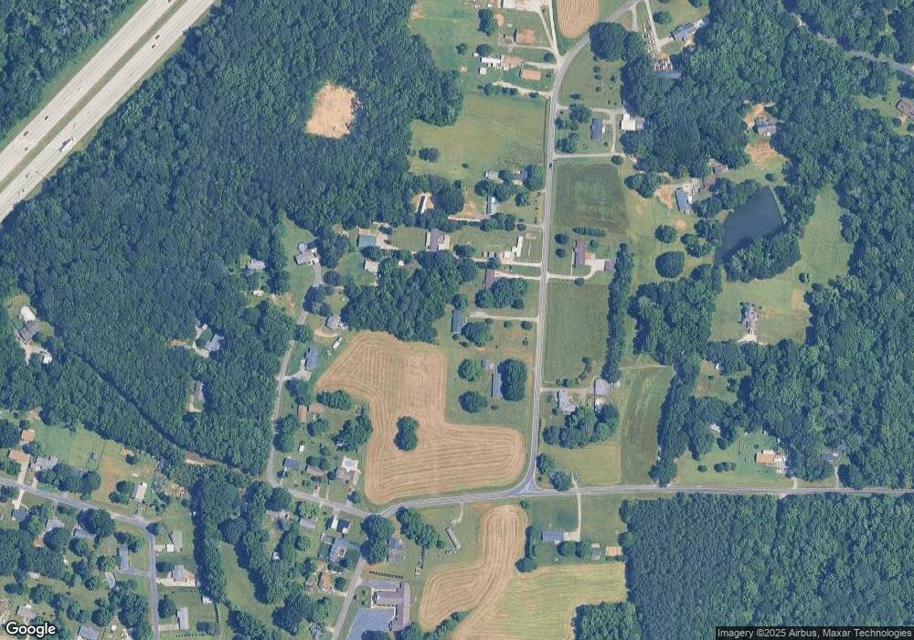
Map
Nearby Homes
- 620 Mount Hope Church Rd
- 1352 Eva Ln
- 0 Brookfield Cir Unit CAR4292885
- 1080 Beckham Rd
- 1060 Beckham Rd
- 5650 Bertie Ave
- 1395 Safrit Rd
- 6255 Meadow Ln
- 355 Swink Ave
- 1675 N Main St
- 425 Acorn Oaks Dr
- 179 Spring Oak Dr
- 410 Black Bear St Unit 153p
- 450 Black Bear St Unit 149p
- 460 Black Bear St Unit 148p
- 465 Black Bear St Unit 156p
- 491 White Hare Ln Unit 75
- 555 White Hare Ln Unit 80p
- 220 Yost Town Rd
- 0 Highway 152 E Unit 1200411
Your Personal Tour Guide
Ask me questions while you tour the home.