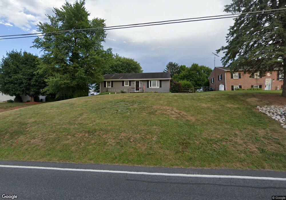
881 Littlestown Rd Littlestown, PA 17340
Estimated Value: $252,242 - $313,000
3
Beds
1
Bath
1,260
Sq Ft
$219/Sq Ft
Est. Value
About This Home
This home is located at 881 Littlestown Rd, Littlestown, PA 17340 and is currently estimated at $276,561, approximately $219 per square foot. 881 Littlestown Rd is a home located in Adams County with nearby schools including Rolling Acres El School, Maple Avenue Middle School, and Littlestown Senior High School.
Ownership History
Date
Name
Owned For
Owner Type
Purchase Details
Closed on
Jul 11, 2011
Sold by
Davis Mallory K and Aziz Andrew J
Bought by
Aziz Andrew J
Current Estimated Value
Home Financials for this Owner
Home Financials are based on the most recent Mortgage that was taken out on this home.
Original Mortgage
$196,546
Outstanding Balance
$136,739
Interest Rate
4.75%
Mortgage Type
FHA
Estimated Equity
$139,822
Create a Home Valuation Report for This Property
The Home Valuation Report is an in-depth analysis detailing your home's value as well as a comparison with similar homes in the area
Home Values in the Area
Average Home Value in this Area
Purchase History
| Date | Buyer | Sale Price | Title Company |
|---|---|---|---|
| Aziz Andrew J | $155,000 | -- |
Source: Public Records
Mortgage History
| Date | Status | Borrower | Loan Amount |
|---|---|---|---|
| Open | Aziz Andrew J | $196,546 |
Source: Public Records
Tax History Compared to Growth
Tax History
| Year | Tax Paid | Tax Assessment Tax Assessment Total Assessment is a certain percentage of the fair market value that is determined by local assessors to be the total taxable value of land and additions on the property. | Land | Improvement |
|---|---|---|---|---|
| 2025 | $2,943 | $155,500 | $36,500 | $119,000 |
| 2024 | $2,814 | $155,500 | $36,500 | $119,000 |
| 2023 | $2,758 | $155,500 | $36,500 | $119,000 |
| 2022 | $2,756 | $155,500 | $36,500 | $119,000 |
| 2021 | $2,659 | $155,500 | $36,500 | $119,000 |
| 2020 | $2,621 | $155,500 | $36,500 | $119,000 |
| 2019 | $2,565 | $155,500 | $36,500 | $119,000 |
| 2018 | $2,509 | $155,500 | $36,500 | $119,000 |
| 2017 | $2,423 | $155,500 | $36,500 | $119,000 |
| 2016 | -- | $155,500 | $36,500 | $119,000 |
| 2015 | -- | $155,500 | $36,500 | $119,000 |
| 2014 | -- | $155,500 | $36,500 | $119,000 |
Source: Public Records
Map
Nearby Homes
- 0 Littlestown Rd
- 70 Sells Station Rd
- 80 Sells Station Rd
- 4900 Hanover Rd
- 780 White Hall Rd
- 345 Smoketown Rd
- 1 Hickory Ln
- 464 Locust Ln
- 152 St Michaels Way Unit 18
- 43 Ashfield Dr Unit 14
- 2779 Centennial Rd
- 0 Locust Dr Unit PAAD2015910
- 162 Newark St
- 20c Locust Dr
- 41 Smith Cir
- 3211 Centennial Rd
- 58 Windsor Ct
- 111 Eagle Ln Unit 7
- 440 N Queen St
- 567 Lumber St
- 871 Littlestown Rd Unit 6
- 891 Littlestown Rd
- 861 Littlestown Rd
- 901 Littlestown Rd
- 841 Littlestown Rd Unit 3
- 925 Littlestown Rd
- 831 Littlestown Rd
- 819 Littlestown Rd
- 820 Littlestown Rd
- 791 Littlestown Rd
- 775 Littlestown Rd
- 765 Littlestown Rd Unit 16
- 745 Littlestown Rd
- 735 Littlestown Rd Unit 14
- 1000 Littlestown Rd
- 1005 Littlestown Rd
- 851 Littlestown Rd
- 725 Littlestown Rd
- 701 Littlestown Rd
- 1030 Littlestown Rd Unit 2