881 Neville Rd Rabun Gap, GA 30568
Estimated Value: $363,893 - $586,000
3
Beds
2
Baths
1,878
Sq Ft
$238/Sq Ft
Est. Value
About This Home
This home is located at 881 Neville Rd, Rabun Gap, GA 30568 and is currently estimated at $447,631, approximately $238 per square foot. 881 Neville Rd is a home located in Rabun County with nearby schools including Rabun County Primary School, Rabun County High School, and Rabun Gap Nacoochee School.
Ownership History
Date
Name
Owned For
Owner Type
Purchase Details
Closed on
May 21, 2024
Sold by
Wilson Cynthia N
Bought by
Wilson Cynthia N and Wilson Kent
Current Estimated Value
Purchase Details
Closed on
May 1, 1992
Bought by
Neville Julian W
Purchase Details
Closed on
May 1, 1985
Purchase Details
Closed on
Aug 1, 1927
Purchase Details
Closed on
Nov 1, 1924
Create a Home Valuation Report for This Property
The Home Valuation Report is an in-depth analysis detailing your home's value as well as a comparison with similar homes in the area
Home Values in the Area
Average Home Value in this Area
Purchase History
| Date | Buyer | Sale Price | Title Company |
|---|---|---|---|
| Wilson Cynthia N | -- | -- | |
| Wilson Cynthia N | -- | -- | |
| Neville Julian W | $90,100 | -- | |
| Neville Julian W | $90,100 | -- | |
| -- | -- | -- | |
| -- | -- | -- | |
| -- | -- | -- | |
| -- | -- | -- | |
| -- | $5,000 | -- | |
| -- | $5,000 | -- |
Source: Public Records
Tax History Compared to Growth
Tax History
| Year | Tax Paid | Tax Assessment Tax Assessment Total Assessment is a certain percentage of the fair market value that is determined by local assessors to be the total taxable value of land and additions on the property. | Land | Improvement |
|---|---|---|---|---|
| 2025 | $1,428 | $88,992 | $23,710 | $65,282 |
| 2024 | $1,368 | $85,219 | $23,710 | $61,509 |
| 2023 | $1,083 | $72,723 | $22,315 | $50,408 |
| 2022 | $1,028 | $69,664 | $20,921 | $48,743 |
| 2021 | $934 | $63,193 | $19,526 | $43,667 |
| 2020 | $871 | $58,285 | $19,526 | $38,759 |
| 2019 | $939 | $61,409 | $20,611 | $40,798 |
| 2018 | $892 | $58,842 | $20,611 | $38,231 |
| 2017 | $859 | $58,842 | $20,611 | $38,231 |
| 2016 | $861 | $58,842 | $20,611 | $38,231 |
| 2015 | $871 | $58,501 | $20,611 | $37,890 |
| 2014 | $874 | $58,501 | $20,611 | $37,890 |
Source: Public Records
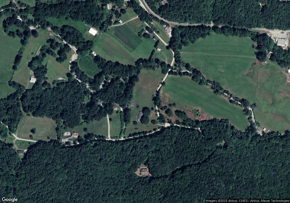
Map
Nearby Homes
- 0 Ov Justus Rd
- 108 Olds Mountain Peak Rd
- LOT SM4 Raven Fork Trail
- 0 Smokey Hollow Dr Unit LOT 27 10561110
- 208 Colony Rd
- LOT 18 Wynngate Dr
- 571 Ledford Rd
- 0 N U S 441 NW Unit 10489249
- 0 Wolffork Rd Unit 10624471
- 0 Us-441 S Unit 10226435
- 205 Carolina St
- 1500 Park Vista Trail
- 0 Ledford Rd Unit 10436918
- 0 Uplander Unit 10628218
- 0 Uplander Unit M181832
- 0 Sheep Cliff Way Unit 10533863
- 0 Zoellner Ln
- 476 Franklin St
- 137 Olds Mountain Peak Rd
- 243 Degroff Ln
- 803 Neville Rd
- 969 O V Justus Rd
- 1043 Neville Rd
- 1107 Neville Rd
- 1183 Bettys Creek Rd
- 1183 Bettys Creek Rd
- 33 Locust Ln
- 1067 O V Justus Rd
- 50 Locust Ln
- 78 Brandy Run Ln
- 789 O V Justus Rd
- 838 O V Justus Rd
- 141 Brandy Run Ln
- 0 Brandy Run Ln Unit 7565287
- 141 Brandy Run Ln
- 893 Bettys Creek Rd
- 15 Brandy Run Ln
- 894 Bettys Creek Rd
- 875 Bettys Creek Rd
- 114 Fescue Ln