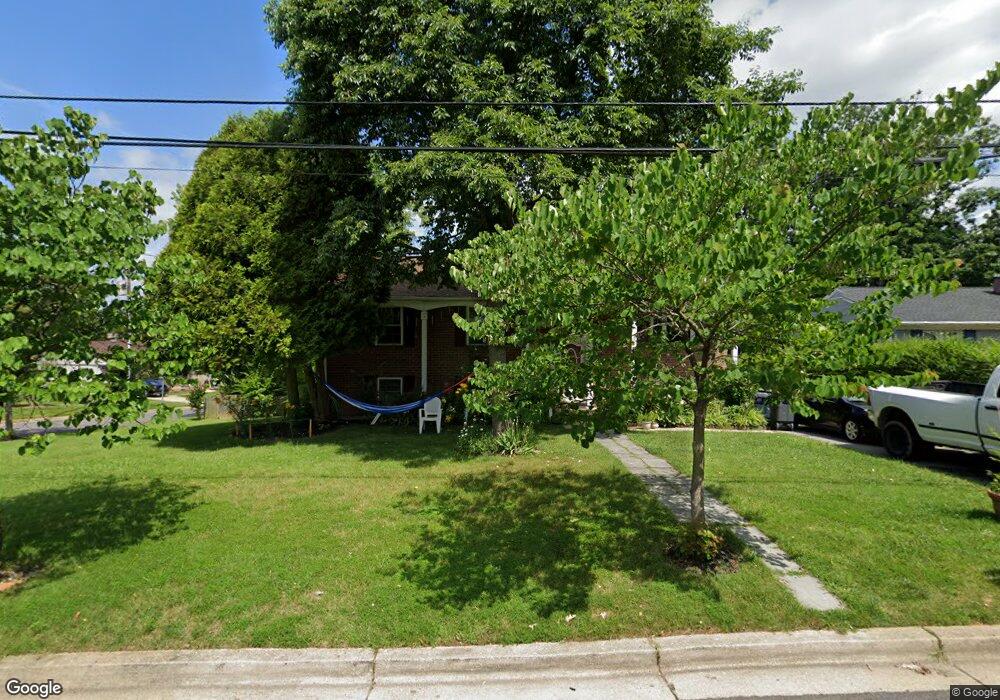
8812 Saunders Ln Lanham, MD 20706
Estimated Value: $416,000 - $443,000
5
Beds
3
Baths
1,320
Sq Ft
$327/Sq Ft
Est. Value
About This Home
This home is located at 8812 Saunders Ln, Lanham, MD 20706 and is currently estimated at $431,235, approximately $326 per square foot. 8812 Saunders Ln is a home located in Prince George's County with nearby schools including James Mchenry Elementary School, Thomas Johnson Middle School, and Duval High School.
Ownership History
Date
Name
Owned For
Owner Type
Purchase Details
Closed on
Jun 4, 2011
Sold by
Artiga Ovidio A and Escobar Nora
Bought by
Artiga Ovidio A
Current Estimated Value
Purchase Details
Closed on
Oct 27, 2005
Sold by
Villatoro Juan C
Bought by
Artiga Ovidio A
Home Financials for this Owner
Home Financials are based on the most recent Mortgage that was taken out on this home.
Original Mortgage
$288,800
Outstanding Balance
$154,509
Interest Rate
5.85%
Mortgage Type
New Conventional
Estimated Equity
$276,726
Purchase Details
Closed on
Oct 16, 2001
Sold by
Brady Edward R
Bought by
Villatoro Juan C
Purchase Details
Closed on
Jun 25, 2001
Sold by
Aames Capital Corporation
Bought by
Brady Edward R
Purchase Details
Closed on
Dec 5, 2000
Sold by
Fisher Richard M and Fisher Ottis T
Bought by
Aames Capital Corporation
Create a Home Valuation Report for This Property
The Home Valuation Report is an in-depth analysis detailing your home's value as well as a comparison with similar homes in the area
Home Values in the Area
Average Home Value in this Area
Purchase History
| Date | Buyer | Sale Price | Title Company |
|---|---|---|---|
| Artiga Ovidio A | -- | None Available | |
| Artiga Ovidio A | $361,000 | -- | |
| Villatoro Juan C | $182,000 | -- | |
| Brady Edward R | $129,900 | -- | |
| Aames Capital Corporation | $126,865 | -- |
Source: Public Records
Mortgage History
| Date | Status | Borrower | Loan Amount |
|---|---|---|---|
| Open | Artiga Ovidio A | $288,800 | |
| Closed | Artiga Ovidio A | $72,200 |
Source: Public Records
Tax History
| Year | Tax Paid | Tax Assessment Tax Assessment Total Assessment is a certain percentage of the fair market value that is determined by local assessors to be the total taxable value of land and additions on the property. | Land | Improvement |
|---|---|---|---|---|
| 2025 | $5,459 | $377,300 | -- | -- |
| 2024 | $5,459 | $340,500 | -- | -- |
| 2023 | $4,911 | $303,700 | $71,500 | $232,200 |
| 2022 | $4,846 | $299,333 | $0 | $0 |
| 2021 | $4,781 | $294,967 | $0 | $0 |
| 2020 | $4,716 | $290,600 | $70,700 | $219,900 |
| 2019 | $4,489 | $275,333 | $0 | $0 |
| 2018 | $4,262 | $260,067 | $0 | $0 |
| 2017 | $4,036 | $244,800 | $0 | $0 |
| 2016 | -- | $221,333 | $0 | $0 |
| 2015 | $3,968 | $197,867 | $0 | $0 |
| 2014 | $3,968 | $174,400 | $0 | $0 |
Source: Public Records
Map
Nearby Homes
- 10535 John Glenn St
- 5521 Belva St
- 5434 85th Ave Unit 202
- 5430 85th Ave Unit 1
- 5414 85th Ave Unit 201
- 5410 85th Ave Unit 102
- 4523 Kinmount Rd
- 5613 Gregory Dr
- 9217 Fowler Ln
- 6112 Naval Ave
- 8314 Nicholson St
- 9226 Fowler Ln
- 9233 Alcona St
- 8912 Keewatin Rd
- 9104 8th St
- 5540 Karen Elaine Dr Unit 1641
- 4706 Cooks Hill Rd Unit 6 TO BE BUILT ELDER
- 4704 Cooks Point Ct Unit 5
- 4703 Cooks Hill Rd Unit 13
- 9202 Cooks Point Ct Unit 15 MODEL HOME
- 8816 Saunders Ln
- 5531 Ruxton Dr
- 8815 Saunders Ln
- 5520 Ruxton Dr
- 5522 Ruxton Dr
- 8820 Saunders Ln
- 5537 Ruxton Dr
- 5526 Ruxton Dr
- 5513 Ruxton Dr
- 5514 Ruxton Dr
- 8822 Saunders Ln
- 5516 Ruxton Dr
- 5530 Ruxton Dr
- 5534 Ruxton Dr
- 8819 Saunders Ln
- 5510 Ruxton Dr
- 8824 Saunders Ln
- 5511 Ruxton Dr
- 5610 Lanham Station Rd
- 8827 Saunders Ln
Your Personal Tour Guide
Ask me questions while you tour the home.