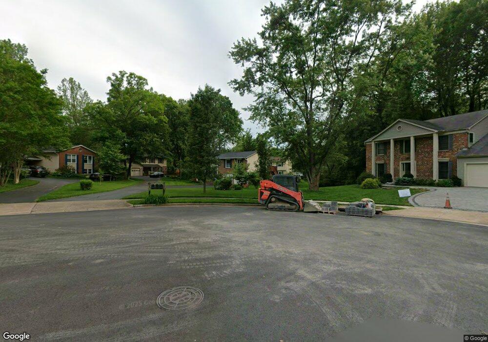
8813 Hayload Ct Springfield, VA 22153
Estimated Value: $800,653 - $853,000
5
Beds
2
Baths
1,653
Sq Ft
$499/Sq Ft
Est. Value
About This Home
This home is located at 8813 Hayload Ct, Springfield, VA 22153 and is currently estimated at $825,663, approximately $499 per square foot. 8813 Hayload Ct is a home located in Fairfax County with nearby schools including Orange Hunt Elementary School, Irving Middle School, and West Springfield High School.
Ownership History
Date
Name
Owned For
Owner Type
Purchase Details
Closed on
Jun 26, 2003
Sold by
Pilgrim Charles W
Bought by
Nutbrown Curtis H
Current Estimated Value
Home Financials for this Owner
Home Financials are based on the most recent Mortgage that was taken out on this home.
Original Mortgage
$263,000
Outstanding Balance
$109,180
Interest Rate
5.53%
Mortgage Type
New Conventional
Estimated Equity
$716,483
Create a Home Valuation Report for This Property
The Home Valuation Report is an in-depth analysis detailing your home's value as well as a comparison with similar homes in the area
Home Values in the Area
Average Home Value in this Area
Purchase History
| Date | Buyer | Sale Price | Title Company |
|---|---|---|---|
| Nutbrown Curtis H | $329,000 | -- |
Source: Public Records
Mortgage History
| Date | Status | Borrower | Loan Amount |
|---|---|---|---|
| Open | Nutbrown Curtis H | $263,000 |
Source: Public Records
Tax History
| Year | Tax Paid | Tax Assessment Tax Assessment Total Assessment is a certain percentage of the fair market value that is determined by local assessors to be the total taxable value of land and additions on the property. | Land | Improvement |
|---|---|---|---|---|
| 2025 | $8,668 | $782,470 | $321,000 | $461,470 |
| 2024 | $8,668 | $748,210 | $311,000 | $437,210 |
| 2023 | $8,087 | $716,570 | $296,000 | $420,570 |
| 2022 | $7,882 | $689,310 | $286,000 | $403,310 |
| 2021 | $7,201 | $613,670 | $256,000 | $357,670 |
| 2020 | $6,792 | $573,860 | $241,000 | $332,860 |
| 2019 | $6,418 | $542,260 | $231,000 | $311,260 |
| 2018 | $6,111 | $531,420 | $231,000 | $300,420 |
| 2017 | $5,996 | $516,420 | $216,000 | $300,420 |
| 2016 | $6,076 | $524,450 | $221,000 | $303,450 |
| 2015 | $5,463 | $489,480 | $206,000 | $283,480 |
| 2014 | $5,276 | $473,830 | $196,000 | $277,830 |
Source: Public Records
Map
Nearby Homes
- 8816 Arley Dr
- 7115 Hundsford Ln
- 9022 Gavelwood Ct
- 8739 Arley Dr
- 8733 Cuttermill Place
- 8735 Stone Hill Place
- 7121 Red Horse Tavern Ln
- 7140 Hamor Ln
- 6901 Huntsman Blvd
- 9202 Rockefeller Ln
- 7217 Galgate Dr
- 7604 Bertito Ln
- 8600 Kentford Dr
- 6819 Lavant Dr
- 9121 Donna Dean Dr
- 8703 Etta Dr
- 7400 Dorothy Ct
- 7508 Irene Ct
- 7105 Galgate Dr
- 8615 Kerry Ln
- 8811 Hayload Ct
- 8809 Hayload Ct
- 8815 Hayload Ct
- 7148 Sontag Way
- 8807 Hayload Ct
- 7146 Sontag Way
- 8814 Hayload Ct
- 8914 Tailcoat Ct
- 7142 Sontag Way
- 7140 Sontag Way
- 7132 Sontag Way
- 7144 Sontag Way
- 8808 Hayload Ct
- 7150 Sontag Way
- 8812 Hayload Ct
- 7130 Sontag Way
- 7152 Sontag Way
- 8806 Hayload Ct
- 7154 Sontag Way
- 8912 Tailcoat Ct
Your Personal Tour Guide
Ask me questions while you tour the home.