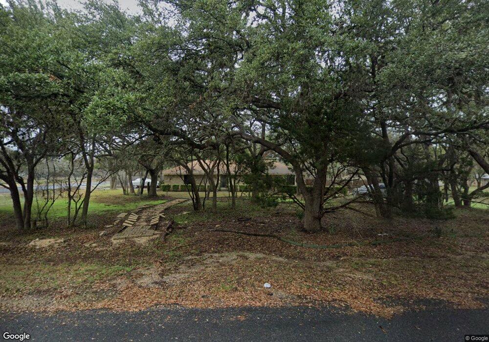
8819 Apache Trail San Antonio, TX 78255
Cross Mountain NeighborhoodEstimated Value: $418,105 - $501,000
3
Beds
2
Baths
1,732
Sq Ft
$258/Sq Ft
Est. Value
About This Home
This home is located at 8819 Apache Trail, San Antonio, TX 78255 and is currently estimated at $447,526, approximately $258 per square foot. 8819 Apache Trail is a home located in Bexar County with nearby schools including Dr. Sara B. McAndrew Elementary School, Rawlinson Middle School, and Clark High School.
Ownership History
Date
Name
Owned For
Owner Type
Purchase Details
Closed on
Sep 5, 2015
Sold by
Alvarado Donna Meredith and Medlock Donna K Meredith
Bought by
Alvarado Donna Meredtth and Alvarado Antonio A
Current Estimated Value
Home Financials for this Owner
Home Financials are based on the most recent Mortgage that was taken out on this home.
Original Mortgage
$130,000
Interest Rate
3.97%
Mortgage Type
Stand Alone First
Create a Home Valuation Report for This Property
The Home Valuation Report is an in-depth analysis detailing your home's value as well as a comparison with similar homes in the area
Home Values in the Area
Average Home Value in this Area
Purchase History
| Date | Buyer | Sale Price | Title Company |
|---|---|---|---|
| Alvarado Donna Meredtth | -- | Title365 |
Source: Public Records
Mortgage History
| Date | Status | Borrower | Loan Amount |
|---|---|---|---|
| Closed | Alvarado Donna Meredtth | $130,000 |
Source: Public Records
Tax History Compared to Growth
Tax History
| Year | Tax Paid | Tax Assessment Tax Assessment Total Assessment is a certain percentage of the fair market value that is determined by local assessors to be the total taxable value of land and additions on the property. | Land | Improvement |
|---|---|---|---|---|
| 2025 | $1,341 | $332,468 | $103,770 | $230,420 |
| 2024 | $1,341 | $302,244 | $103,770 | $230,420 |
| 2023 | $1,341 | $274,767 | $103,770 | $230,420 |
| 2022 | $4,959 | $249,788 | $88,680 | $232,230 |
| 2021 | $4,678 | $227,080 | $77,110 | $149,970 |
| 2020 | $5,008 | $237,930 | $39,190 | $198,740 |
| 2019 | $5,179 | $237,930 | $39,190 | $198,740 |
| 2018 | $4,769 | $219,040 | $44,040 | $175,000 |
| 2017 | $4,365 | $199,840 | $44,040 | $155,800 |
| 2016 | $4,464 | $204,402 | $41,140 | $163,970 |
| 2015 | $2,785 | $185,820 | $41,140 | $144,680 |
| 2014 | $2,785 | $172,200 | $0 | $0 |
Source: Public Records
Map
Nearby Homes
- 0 Broad Oak Ln
- 8818 Apache Trail
- 24707 Wine Rose Path
- 24630 Wine Rose Path
- 8902 Saddle Trail
- 24840 Breeze Oak Ln
- 8506 Driftwood Hill
- 25007 Seal Cove
- 9119 Cap Mountain Dr
- 11019 Porter Springs
- 11010 Nina Ridge
- 11309 Sloanes Ridge
- 23314 Cawley Run
- 11107 Kendall Canyon
- 23328 Ebner Ridge
- 11223 Kendall Canyon
- 11212 Kendall Canyon
- 24014 Lydia Ridge
- 11211 Steihler Hill
- 11317 Sloanes Ridge
- 8815 Apache Trail
- 8818 Tonkawa Trail
- 8814 Tonkawa Trail
- 25203 Broad Oak Trail
- 8811 Apache Trail
- 8814 Apache Trail
- 8906 Apache Trail
- 8807 Apache Trail
- 25307 Broad Oak Trail
- 8819 Tonkawa Trail
- 8806 Tonkawa Trail
- 25111 N Saddle Trail
- 8815 Tonkawa Trail
- 25407 Broad Oak Trail
- 24802 N Saddle Trail
- 8811 Tonkawa Trail
- 8802 Tonkawa Trail
- 8818 Shoshoni Trail
- 25006 Broad Oak Trail
- 25003 Broad Oak Trail