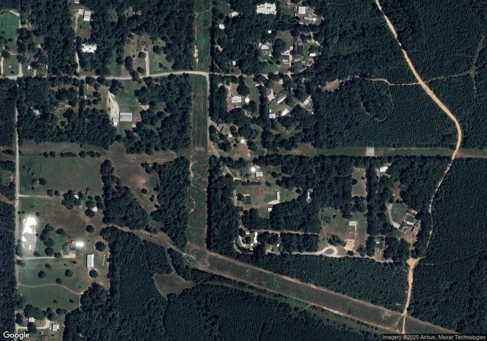
882 S Loading Dock Rd Silsbee, TX 77656
Estimated Value: $251,000 - $335,000
3
Beds
3
Baths
2,116
Sq Ft
$134/Sq Ft
Est. Value
About This Home
This home is located at 882 S Loading Dock Rd, Silsbee, TX 77656 and is currently estimated at $283,103, approximately $133 per square foot. 882 S Loading Dock Rd is a home located in Hardin County with nearby schools including John High Kirby Elementary School, Silsbee Elementary School, and Edwards-Johnson Memorial Middle School.
Ownership History
Date
Name
Owned For
Owner Type
Purchase Details
Closed on
May 15, 2015
Sold by
Jeffcoat Thomas Edward and Jeffcoat Rachel B
Bought by
King Travis
Current Estimated Value
Home Financials for this Owner
Home Financials are based on the most recent Mortgage that was taken out on this home.
Original Mortgage
$146,428
Outstanding Balance
$111,491
Interest Rate
3.68%
Mortgage Type
New Conventional
Estimated Equity
$171,612
Create a Home Valuation Report for This Property
The Home Valuation Report is an in-depth analysis detailing your home's value as well as a comparison with similar homes in the area
Home Values in the Area
Average Home Value in this Area
Purchase History
| Date | Buyer | Sale Price | Title Company |
|---|---|---|---|
| King Travis | -- | Stewart Title |
Source: Public Records
Mortgage History
| Date | Status | Borrower | Loan Amount |
|---|---|---|---|
| Open | King Travis | $146,428 |
Source: Public Records
Tax History
| Year | Tax Paid | Tax Assessment Tax Assessment Total Assessment is a certain percentage of the fair market value that is determined by local assessors to be the total taxable value of land and additions on the property. | Land | Improvement |
|---|---|---|---|---|
| 2025 | $3,833 | $238,957 | $50,000 | $188,957 |
| 2024 | $3,900 | $238,957 | $50,000 | $188,957 |
| 2023 | $3,814 | $228,093 | $36,825 | $191,268 |
| 2022 | $3,259 | $176,131 | $36,825 | $139,306 |
| 2021 | $3,514 | $175,830 | $36,830 | $139,000 |
| 2020 | $2,636 | $131,910 | $25,000 | $106,910 |
| 2019 | $2,777 | $131,910 | $25,000 | $106,910 |
| 2018 | $2,777 | $131,910 | $25,000 | $106,910 |
| 2017 | $3,057 | $142,450 | $25,000 | $117,450 |
| 2016 | $3,057 | $142,460 | $25,000 | $117,460 |
| 2015 | $3,057 | $57,270 | $25,000 | $32,270 |
| 2014 | $1,208 | $57,270 | $25,000 | $32,270 |
Source: Public Records
Map
Nearby Homes
- TBD Fm 92 E
- 1113 Railroad St
- 000 WATSON Kline Rd
- TBD Quinn St
- 000 E Side of Hwy 96
- 000 E 327
- 8191 Mormon Church Rd
- 00 Farm To Market 92
- 8144 Mormon Church Rd
- 8147 Mormon Church Rd
- 2600 Block E Avenue G
- 695 Grimes Ave
- 840 N 6th St
- 7942 Mormon Church Rd
- 620 N 5th St
- 770 N 8th St
- 000 5th
- 505 N 6th St
- 590 Hartman Rd
- 220 W Avenue F
- 832 S Loading Dock Rd
- 680 S Loading Dock Rd
- 9600 Loading Dock Rd
- 956 S Loading Dock Rd
- 9604 Loading Dock Rd
- 610 S Loading Dock Rd
- 9546 Loading Dock Rd
- 9626 Loading Dock Rd
- 582 S Loading Dock Rd
- 9547 Loading Dock Rd
- 9705 Loading Dock Rd
- 750 S Loading Dock Rd
- 9587 Loading Dock Rd
- 9711 Loading Dock Rd
- 550 S Loading Dock Rd
- 728 S Loading Dock Rd
- 9398 Loading Dock Rd
- 9511 Loading Dock Rd
- 9405 Loading Dock Rd
- 1030 Tucker Hill Rd
