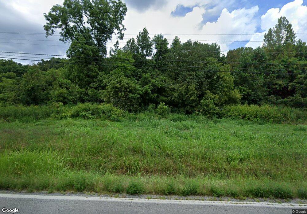
8829 State Route 243 South Point, OH 45680
--
Bed
--
Bath
--
Sq Ft
21.5
Acres
About This Home
This home is located at 8829 State Route 243, South Point, OH 45680. 8829 State Route 243 is a home located in Lawrence County with nearby schools including Dawson-Bryant Elementary School, Dawson-Bryant Middle School, and Dawson-Bryant High School.
Ownership History
Date
Name
Owned For
Owner Type
Purchase Details
Closed on
Oct 4, 2016
Sold by
Dome James R
Bought by
Carolyn N Dome
Purchase Details
Closed on
Jun 28, 2016
Sold by
Dome James R and Dome Carolyn N
Bought by
Dome James R and Dome Carolyn N
Purchase Details
Closed on
Mar 8, 2010
Sold by
Dudding Robert J and Dudding Connie J
Bought by
Dome James R and Dome Carolyn N
Home Financials for this Owner
Home Financials are based on the most recent Mortgage that was taken out on this home.
Original Mortgage
$292,000
Interest Rate
5.01%
Mortgage Type
Construction
Purchase Details
Closed on
Apr 2, 2002
Sold by
Sheppard Nora Faye
Bought by
Dudding Robert J and Dudding Connie J
Purchase Details
Closed on
Sep 19, 2000
Sold by
Sheppard Earnest and Sheppard Nor
Bought by
Sheppard Nora Faye
Purchase Details
Closed on
Nov 12, 1999
Sold by
Langdon Clifford A
Bought by
Sheppard Earnest and Sheppard Nor
Create a Home Valuation Report for This Property
The Home Valuation Report is an in-depth analysis detailing your home's value as well as a comparison with similar homes in the area
Home Values in the Area
Average Home Value in this Area
Purchase History
| Date | Buyer | Sale Price | Title Company |
|---|---|---|---|
| Carolyn N Dome | -- | -- | |
| Dome James R | -- | None Available | |
| Dome James R | $75,000 | Attorney | |
| Dudding Robert J | $62,500 | -- | |
| Sheppard Nora Faye | -- | -- | |
| Sheppard Earnest | -- | -- |
Source: Public Records
Mortgage History
| Date | Status | Borrower | Loan Amount |
|---|---|---|---|
| Previous Owner | Dome James R | $292,000 |
Source: Public Records
Tax History Compared to Growth
Tax History
| Year | Tax Paid | Tax Assessment Tax Assessment Total Assessment is a certain percentage of the fair market value that is determined by local assessors to be the total taxable value of land and additions on the property. | Land | Improvement |
|---|---|---|---|---|
| 2024 | -- | $7,530 | $7,530 | -- |
| 2023 | $50 | $7,530 | $7,530 | $0 |
| 2022 | $49 | $7,530 | $7,530 | $0 |
| 2021 | $51 | $5,300 | $5,300 | $0 |
| 2020 | $51 | $5,300 | $5,300 | $0 |
| 2019 | $51 | $5,300 | $5,300 | $0 |
| 2018 | $451 | $5,190 | $5,190 | $0 |
| 2017 | $51 | $5,190 | $5,190 | $0 |
| 2016 | $48 | $5,190 | $5,190 | $0 |
| 2015 | $50 | $5,190 | $5,190 | $0 |
| 2014 | $49 | $5,190 | $5,190 | $0 |
| 2013 | $49 | $5,190 | $5,190 | $0 |
Source: Public Records
Map
Nearby Homes
- 9040 Ohio 243
- 66 County Road 30
- 6881 State Route 243
- 3493 County Road 31
- 1122 Township Road 266
- 1122 Township Road 266
- 3171 County Road 31
- 66 Township Road 1523
- 25 Township Road 1524
- 3569 County Road 6
- 4404 County Road 15
- 71 Private Dr
- 6757 County Road 15
- 6897 County Road 15
- 859 County Road 53
- 885 County Road 53
- 1334 McKinney Creek-Hesson Hollow Rd N
- 1334 Township Road 214th N
- 00 Township Road 219 N
- 7428 County Road 15
- 9301 State Route 243
- 9287 State Route 243
- 9317 State Route 243
- 9247 State Route 243
- 9466 State Route 243
- 9504 State Route 243
- 9504 Ohio 243
- 9526 State Route 243
- 9164 State Route 243
- 4113 County Road 55
- 9526 Ohio 243
- 4091 County Road 55
- 9097 State Route 243
- 4036 County Road 55
- 9088 State Route 243
- 203 Private Road 1653 Unit 17
- 4014 County Road 55
- 3954 County Road 55
- 9712 State Route 243
- 3943 County Road 55