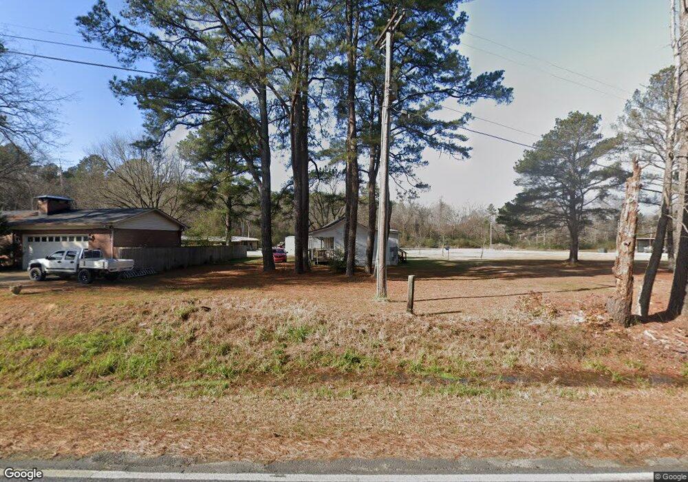
883 Highway 290 Hot Springs National Park, AR 71913
Estimated Value: $326,000 - $450,000
--
Bed
--
Bath
1,632
Sq Ft
$228/Sq Ft
Est. Value
About This Home
This home is located at 883 Highway 290, Hot Springs National Park, AR 71913 and is currently estimated at $371,777, approximately $227 per square foot. 883 Highway 290 is a home with nearby schools including Lakeside Primary School, Lakeside Intermediate School, and Lakeside Middle School.
Ownership History
Date
Name
Owned For
Owner Type
Purchase Details
Closed on
Oct 7, 2021
Sold by
Hartman Michael R and Hartman Margaret Ann
Bought by
Hartman Michael R and Hartman Margaret Ann
Current Estimated Value
Home Financials for this Owner
Home Financials are based on the most recent Mortgage that was taken out on this home.
Original Mortgage
$241,000
Outstanding Balance
$219,770
Interest Rate
2.8%
Estimated Equity
$152,007
Purchase Details
Closed on
Apr 3, 2015
Sold by
Alvarez Paul Junior Cruz and Alvarez Sarah Louise
Bought by
Hartman Michael R and Hartman Margaret Ann
Create a Home Valuation Report for This Property
The Home Valuation Report is an in-depth analysis detailing your home's value as well as a comparison with similar homes in the area
Home Values in the Area
Average Home Value in this Area
Purchase History
| Date | Buyer | Sale Price | Title Company |
|---|---|---|---|
| Hartman Michael R | -- | Professional Land Ttl Co Of | |
| Hartman Michael R | $60,000 | None Available |
Source: Public Records
Mortgage History
| Date | Status | Borrower | Loan Amount |
|---|---|---|---|
| Open | Hartman Michael R | $241,000 |
Source: Public Records
Tax History Compared to Growth
Tax History
| Year | Tax Paid | Tax Assessment Tax Assessment Total Assessment is a certain percentage of the fair market value that is determined by local assessors to be the total taxable value of land and additions on the property. | Land | Improvement |
|---|---|---|---|---|
| 2024 | $2,294 | $51,100 | $7,030 | $44,070 |
| 2023 | $2,294 | $51,100 | $7,030 | $44,070 |
| 2022 | $1,820 | $51,100 | $7,030 | $44,070 |
| 2021 | $1,819 | $66,270 | $15,600 | $50,670 |
| 2020 | $2,305 | $53,960 | $13,200 | $40,760 |
| 2019 | $2,069 | $53,960 | $13,200 | $40,760 |
| 2018 | $2,264 | $53,960 | $13,200 | $40,760 |
| 2017 | $1,239 | $38,470 | $9,600 | $28,870 |
| 2016 | $1,786 | $10,000 | $10,000 | $0 |
| 2015 | $413 | $10,000 | $10,000 | $0 |
| 2014 | $413 | $10,000 | $10,000 | $0 |
Source: Public Records
Map
Nearby Homes
- 155 Glencairn Dr
- 135 Callaway Cir
- 249 Callaway Cir
- 115 Rockcress Terrace
- TBD Lee Warren Ln
- 142 Leta Ln
- 225 Bristol Ln
- 0 Bristol Ln
- 520 Hwy 290
- 420 Hwy 290
- 127 Brooke Moor Trail
- 117 Brooke Moor Trail
- 181 Fish Hatchery Rd Unit M1
- 181 Fish Hatchery Rd
- 181 Fish Hatchery Rd Unit P2
- 402 Caroline Acres Point
- 227 Century Cir
- 462 Caroline Acres Point
- 113 Brittany Dr
- 896 Hwy 290
- 896 Highway 290
- 896 Highway 290
- 896 Highway 290
- 896 Hwy 290
- 849 Highway 290
- 831 & 833 Highway 290
- 831 & 833 Hwy 290
- 864 Highway 290
- 864 Highway 290 Unit Tract A
- 864 Hwy 290
- 864 Highway 290
- 864 Highway 290 Unit Tract A & B
- 864 Highway 290
- 144 Mountain Creek Trail
- 0 Mountain Creek Trail Unit 110488
- Lot 5d Mountain Creek Trail Unit 1.25 +/- Acres
- Lot 5c Mountain Creek Trail Unit 1.25 +/- Acres
- 0 Mountain Creek Trail
- Lot 3 Mountain Creek Trail
